Road Stream Crossing Site AUS_OG004
Au Sable River Watershed, Tributary of Mink Creek
Heath Rd
Goodar Twp,
Ogemaw County
Information collected by:
Site Location
GPS Coordinates: 44.44804
, -83.95773
T24N
R04E
Sec 28
Owned by Private
Fish Passability 0.5
Structure is NOT Perched
Total Erosion: 0.5653 tons/year
Severity: Moderate
Year Inventoried: 2013
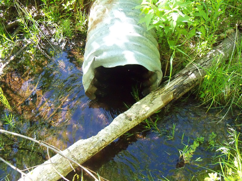
Inlet
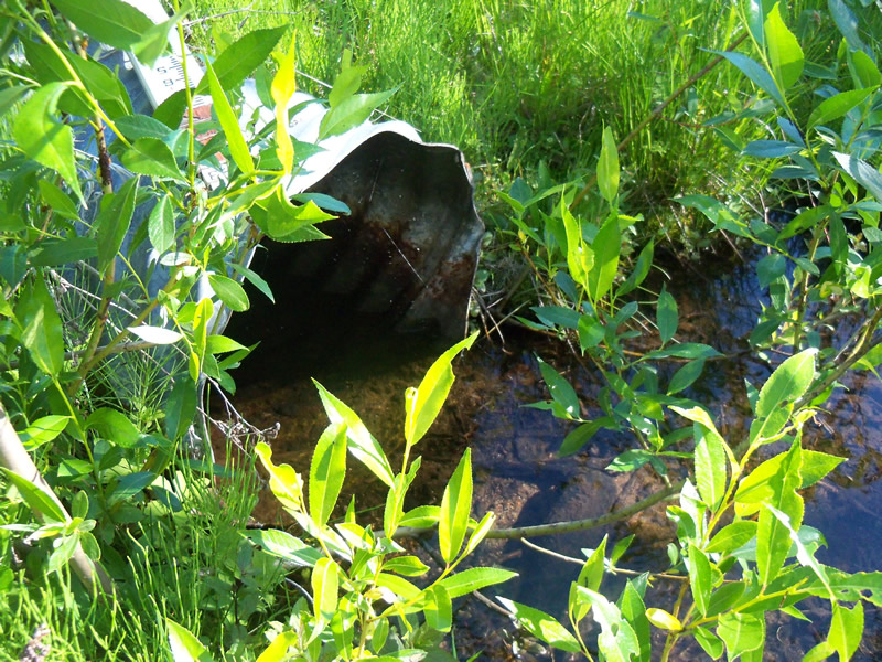
Outlet
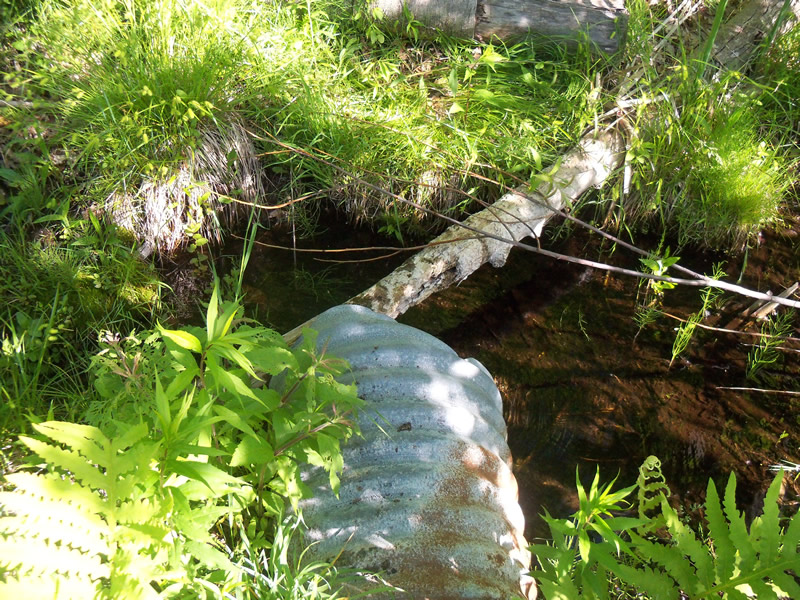
Upstream Conditions
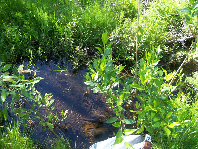
Downstream Conditions
Road Approach - Left
Road Approach - Right
Crossing Information
Type of Crossing: culvert(s)
Number of Structures: 1
Structure Shape: Round
Inlet Type: Projecting
Outlet Type: At Stream Grade
Structure Material: Metal
Structure Substrate: None
General Conditions: Fair
Structure Interior: corrugated
Dimensions of Structure: Length 60.8 ft.
, Width 1.5 ft.
, Height 1.5 ft.
Percentage Crushed:
Inlet: 1% to 25%
Outlet: 0%
In Pipe: 0%
Structure is NOT Perched
Structure Inlet
Water Depth: 0.2 ft.
Embedded Depth of Structure: 0 ft.
Water Velocity*: 0.7 ft./sec.
Structure Outlet
Water Depth: 0.2 ft.
Embedded Depth of Structure: 0 ft.
Water Velocity*: 0.3 ft./sec.
*Water Velocities were measured at the Surface
(with Float Test)
Additional Comments
There was no riffle. After the culvert, it turned into a marsh.
Stream Information
Stream Flow: Less than Bankfull
Scour Pool: Length 0 ft.
, Width 0 ft.
, Depth 0 ft.
Upstream Pond: Length 0 ft.
, Width 0 ft.
, Depth 0 ft.
Riffle Information
Water Depth: 0 ft.
Bankfull Width: 0 ft.
Wetted Width: 0 ft.
Water Velocity: 0 ft./sec.
Dominant Substrate: Organics
Road Information
Paved
County Road
Road Condition: Good
Road Width at Culvert: 30 ft.
Location of Low Point: Other
Runoff Path: Roadway
Embankments
Upstream
Fill Depth: 4.8 ft.
Slope: More than 1:2
Downstream
Fill Depth: 3.2 ft.
Slope: More than 1:2
Approaches
Left Approach
Length: 0 ft.
Slope: Less Than 1%
Vegetation: Heavy
LS Factor: 0.05
Erosion: 0 tons/year
Right Approach
Length: 1000 ft.
Slope: 1% to 5%
Vegetation: Heavy
LS Factor: 0.57
Erosion: 0.5653 tons/year
Erosion Information
Total Erosion at Crossing: 0.5653 tons/year
Summary Information
Fish Passability 0.5
These non-native species were observerd at this site: Spotted Knapweed
�