Road Stream Crossing Site AUS_OG010
Au Sable River Watershed, Tributary of Harper's Creek
Heath Rd
Goodar Twp,
Ogemaw County
Information collected by:
Site Location
GPS Coordinates: 44.45797
, -83.92106
T24N
R04E
Sec 23
Owned by Private
Fish Passability 0.5
Structure is NOT Perched
Total Erosion: 0.3953 tons/year
Severity: Moderate
Year Inventoried: 2013
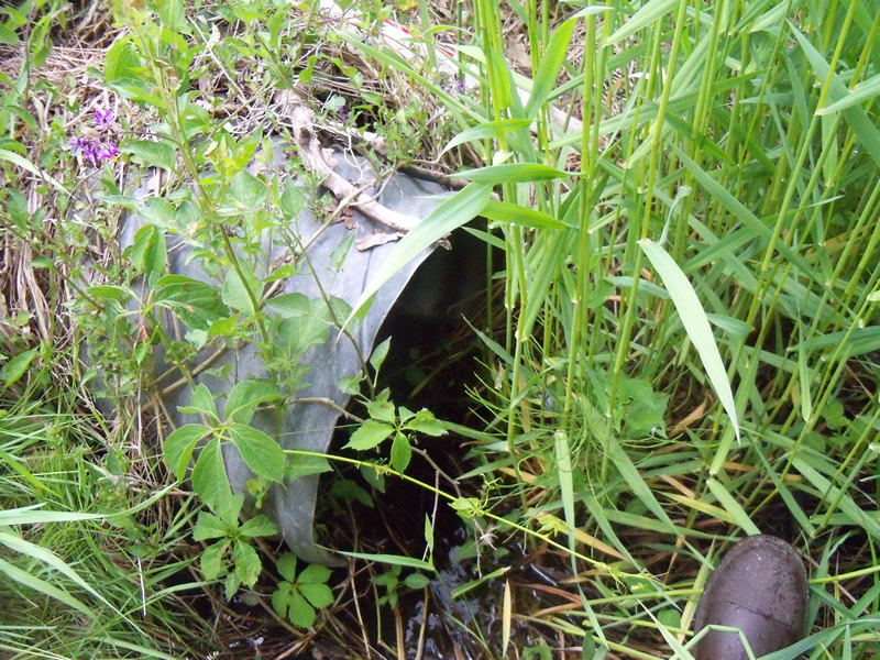
Inlet
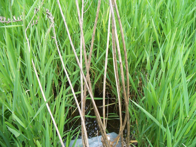
Outlet
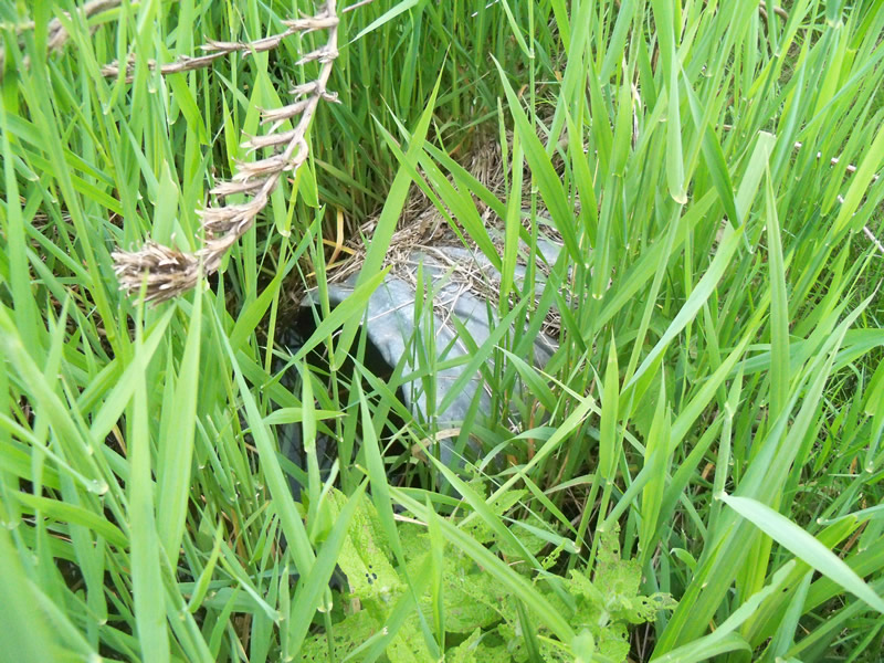
Upstream Conditions
Downstream Conditions
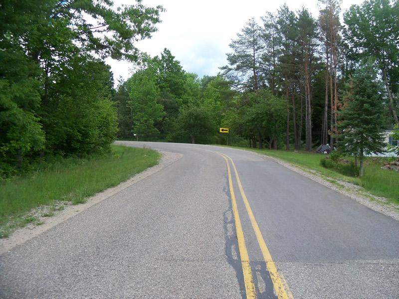
Road Approach - Left
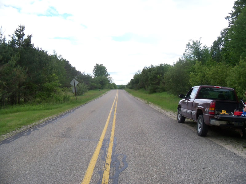
Road Approach - Right
Crossing Information
Type of Crossing: culvert(s)
Number of Structures: 1
Structure Shape: Round
Inlet Type: Projecting
Outlet Type: At Stream Grade
Structure Material: Metal
Structure Substrate: None
General Conditions: Good
Structure Interior: corrugated
Dimensions of Structure: Length 49.5 ft.
, Width 1.5 ft.
, Height 1.5 ft.
Structure is NOT Perched
Structure Inlet
Water Depth: 0.1 ft.
Embedded Depth of Structure: 0 ft.
Water Velocity*: 0.1 ft./sec.
Structure Outlet
Water Depth: 0.9 ft.
Embedded Depth of Structure: 0 ft.
Water Velocity*: 0 ft./sec.
*Water Velocities were measured at the Surface
(with Float Test)
Stream Information
Stream Flow: Less than 1/2 Bankfull
Scour Pool: Length 0 ft.
, Width 0 ft.
, Depth 0 ft.
Upstream Pond: Length 0 ft.
, Width 0 ft.
, Depth 0 ft.
Riffle Information
Water Depth: 0.2 ft.
Bankfull Width: 5 ft.
Wetted Width: 2 ft.
Water Velocity: 0.3 ft./sec.
(Measured with Float Test)
Dominant Substrate: Sand
Road Information
Paved
County Road
Road Condition: Good
Road Width at Culvert: 30 ft.
Location of Low Point: At Stream
Runoff Path: Roadway
Embankments
Upstream
Fill Depth: 2.5 ft.
Slope: More than 1:2
Downstream
Fill Depth: 2.7 ft.
Slope: More than 1:2
Approaches
Left Approach
Length: 200 ft.
Slope: 1% to 5%
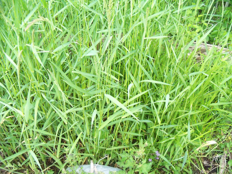
Vegetation: Heavy
LS Factor: 0.43
Erosion: 0.0853 tons/year
Right Approach
Length: 601 ft.
Slope: 1% to 5%
Vegetation: Heavy
LS Factor: 0.52
Erosion: 0.31 tons/year
Erosion Information
Total Erosion at Crossing: 0.3953 tons/year
Location of Erosion | Erosion Dimensions | Eroded Material | Material Eroded | Total Erosion | ||
facing downstream | Length | Width | Depth | Reaching Stream? | (tons/year) | |
Right Downtream Ditch |
3 ft. |
2 ft. |
0.1 ft. |
no |
Gravel |
|
Summary Information
Fish Passability 0.5
These non-native species were observerd at this site: Spotted Knapweed
�