Road Stream Crossing Site AUS_IS030
Au Sable River Watershed, Outlet of Marlbed Lake
Jose Lake Rd
Plainfield Twp,
Iosco County
Information collected by:
Site Location
GPS Coordinates: 44.58754
, -83.92259
T24N
R05E
Sec 17,18
Owned by Private
Fish Passability 0.5
Structure is NOT Perched
Total Erosion: 0.2092 tons/year
Severity: Moderate
Year Inventoried: 2013
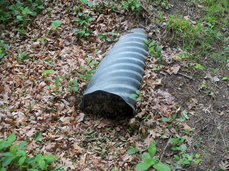
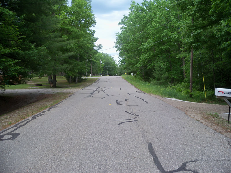
Inlet
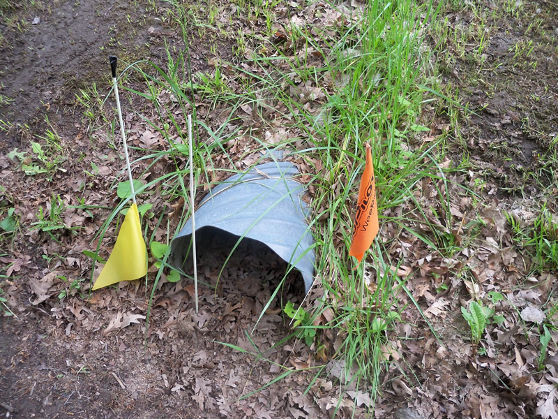
Outlet
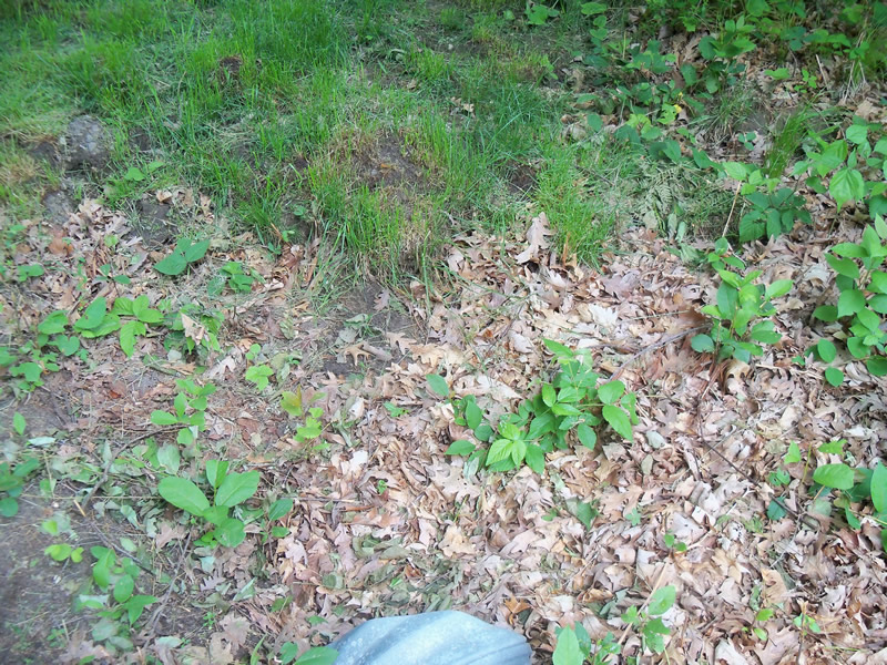
Upstream Conditions
Downstream Conditions
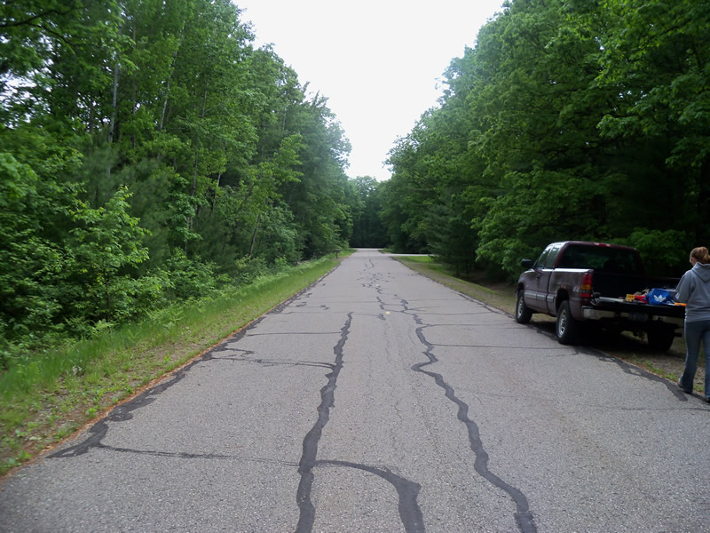
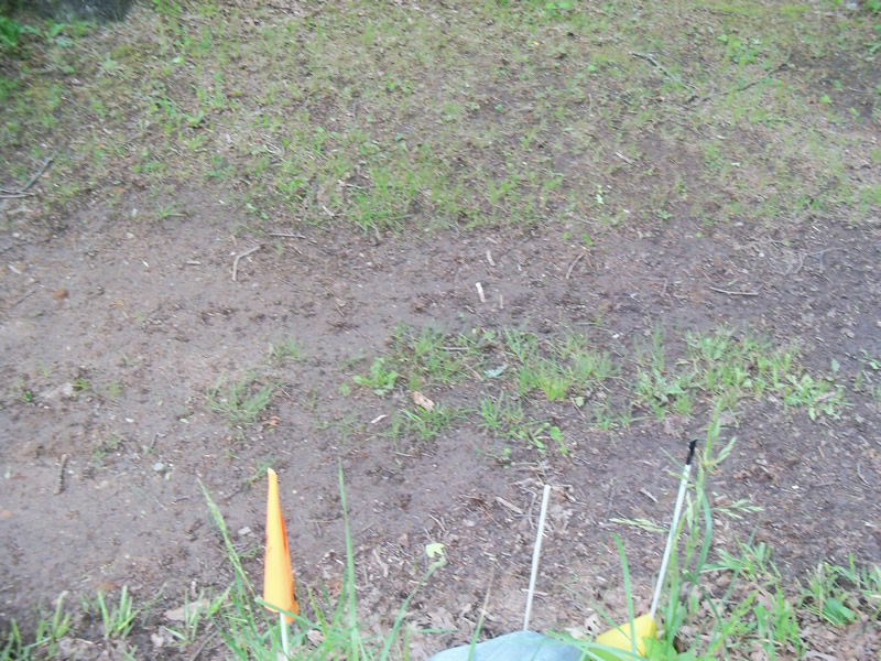
Road Approach - Left
Road Approach - Right
Crossing Information
Type of Crossing: culvert(s)
Number of Structures: 1
Structure Shape: Round
Inlet Type: Projecting
Outlet Type: At Stream Grade
Structure Material: Metal
Structure Substrate: Mixture
General Conditions: Good
Structure Interior: corrugated
Dimensions of Structure: Length 50.5 ft.
, Width 1.2 ft.
, Height 1.2 ft.
Structure is NOT Perched
Water Depth: 0 ft.
Embedded Depth of Structure: 0.2 ft.
Water Velocity*: 0 ft./sec.
Water Depth: 0 ft.
Embedded Depth of Structure: 0.1 ft.
Water Velocity*: 0 ft./sec.
*Water Velocities were measured at the Surface
Additional Comments
No stream flow/water. Can't tell inlet from the outlet.
Stream Information
Stream Flow: None
Scour Pool: Length 0 ft.
, Width 0 ft.
, Depth 0 ft.
Upstream Pond: Length 0 ft.
, Width 0 ft.
, Depth 0 ft.
Riffle Information
Water Depth: 0 ft.
Bankfull Width: 0 ft.
Wetted Width: 0 ft.
Water Velocity: 0 ft./sec.
Road Information
Paved
County Road
Road Condition: Good
Road Width at Culvert: 21.5 ft.
Location of Low Point: Other
Runoff Path: Roadway
Embankments
Upstream
Fill Depth: 1.2 ft.
Slope: More than 1:2
Downstream
Fill Depth: 1.5 ft.
Slope: More than 1:2
Approaches
Left Approach
Length: 0 ft.
Slope: Less Than 1%
Vegetation: Partial
LS Factor: 0.05
Erosion: 0 tons/year
Right Approach
Length: 469 ft.
Slope: 1% to 5%
Vegetation: Partial
LS Factor: 0.628
Erosion: 0.2092 tons/year
Erosion Information
Total Erosion at Crossing: 0.2092 tons/year
Summary Information
Fish Passability 0.5
�