Road Stream Crossing Site AUS_OT102
Au Sable River Watershed, Outlet of Spectacle Lake
Hilltop Rd
Charlton Twp,
Otsego County
Information collected by:
Site Location
GPS Coordinates: 44.88335
, -84.4021
T29N
R01W
Sec 26
Owned by Private
Fish Passability 0
Structure is NOT Perched
Total Erosion: 1.2639 tons/year
Severity: Severe
Year Inventoried: 2013
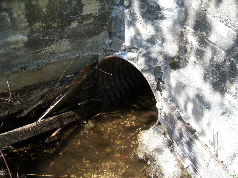
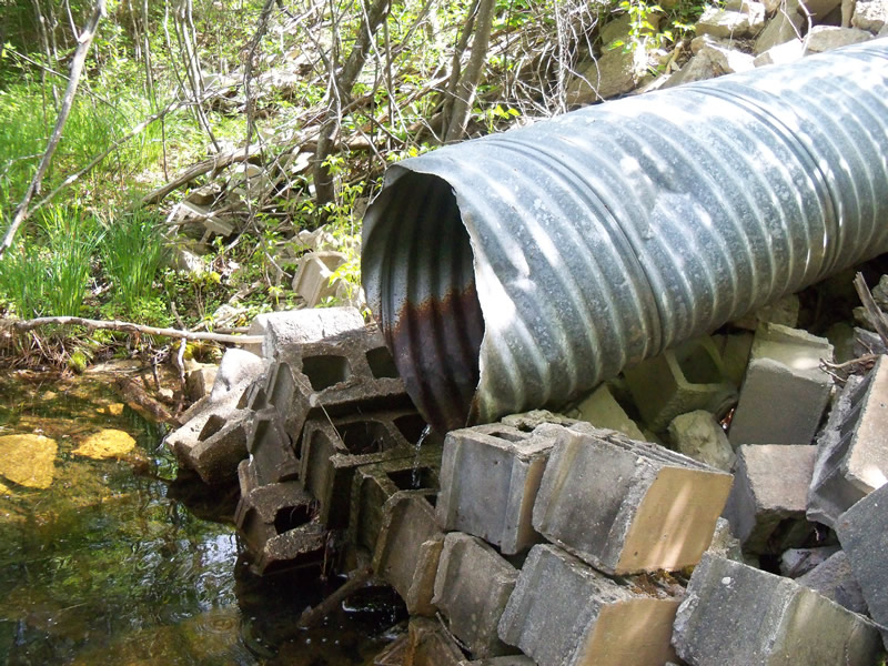
Inlet
Outlet
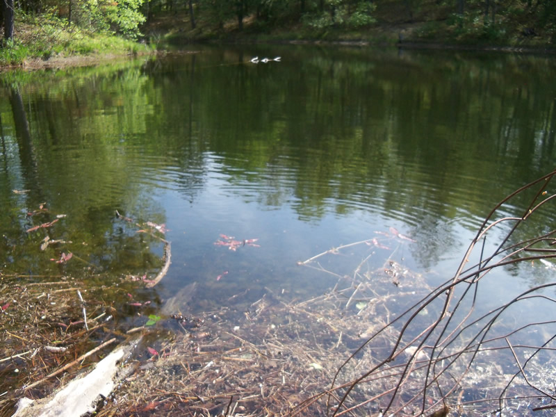
Upstream Conditions
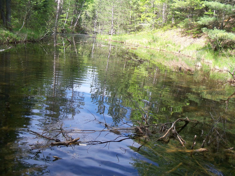
Downstream Conditions
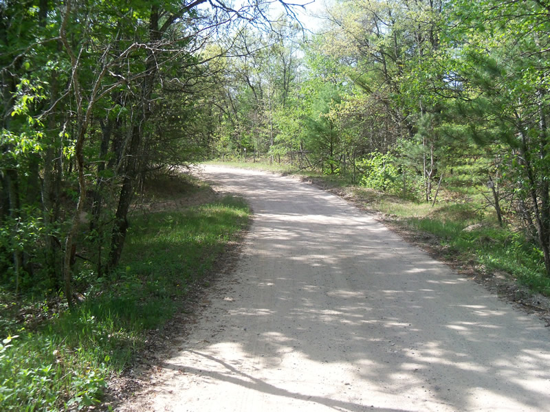
Road Approach - Left
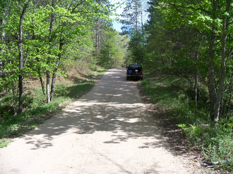
Road Approach - Right
Crossing Information
Type of Crossing: culvert(s)
Number of Structures: 1
Structure Shape: Round
Inlet Type: Wingwall 10-30 Degree
Outlet Type: Cascade over Riprap
Structure Material: Metal
Structure Substrate: None
General Conditions: Fair
Structure Interior: corrugated
Dimensions of Structure: Length 40 ft.
, Width 2 ft.
, Height 2 ft.
Structure is NOT Perched
Structure Inlet
Water Depth: 0.2 ft.
Embedded Depth of Structure: 0 ft.
Water Velocity*: 0 ft./sec.
Structure Outlet
Water Depth: 0.9 ft.
Embedded Depth of Structure: 0 ft.
Water Velocity*: 0 ft./sec.
*Water Velocities were measured at the Surface
(with Meter)
Stream Information
Stream Flow: Less than 1/2 Bankfull
Scour Pool: Length 0 ft.
, Width 0 ft.
, Depth 0 ft.
Upstream Pond: Length 0 ft.
, Width 0 ft.
, Depth 0 ft.
Riffle Information
Water Depth: 2.2 ft.
Bankfull Width: 116 ft.
Wetted Width: 35 ft.
Water Velocity: 0 ft./sec.
(Measured with Meter)
Dominant Substrate: Organics
Road Information
Gravel
County Road
Road Condition: Good
Road Width at Culvert: 14.5 ft.
Location of Low Point: At Stream
Runoff Path: Roadway
Embankments
Upstream
Fill Depth: 3.6 ft.
Slope: Vertical
Downstream
Fill Depth: 3.9 ft.
Slope: 1:2
Approaches
Left Approach
Length: 213 ft.
Slope: 1% to 5%
Vegetation: Heavy
LS Factor: 0.433
Erosion: 0.3681 tons/year
Right Approach
Length: 408 ft.
Slope: 1% to 5%
Vegetation: Heavy
LS Factor: 0.482
Erosion: 0.7849 tons/year
Erosion Information
Total Erosion at Crossing: 1.2639 tons/year
Extent of Erosion: Moderate
Erosion is occurring and corrective actions can be installed to address the problem.
Location of Erosion | Erosion Dimensions | Eroded Material | Material Eroded | Total Erosion | ||
facing downstream | Length | Width | Depth | Reaching Stream? | (tons/year) | |
Left Approach |
24 ft. |
2.5 ft. |
0.6 ft. |
yes |
Sand |
0.1109 |
Summary Information
Fish Passability 0
Fish Passage is an area of concern for this site.
Fish would be unable to pass through because the culvert is perched on one side (outlet) and there is a human made dam on the other side (inlet). There is very little water passing through the culvert. Water appears to be washing off the sides of the road in a couple of places and could erode in heavy rain.
A future visit to this site is recommended. There is erosion and fish passage barriers.
�