Road Stream Crossing Site AUS_MO105
Au Sable River Watershed, Outlet of Woodmere Lake
Aarons Rd
Albert Twp,
Montmorency County
Information collected by:
Site Location
GPS Coordinates: 44.90422
, -84.34835
T29N
R01E
Sec 17
Owned by Private
Fish Passability 0.5
Structure is NOT Perched
Total Erosion: 0.872 tons/year
Severity: Moderate
Year Inventoried: 2013
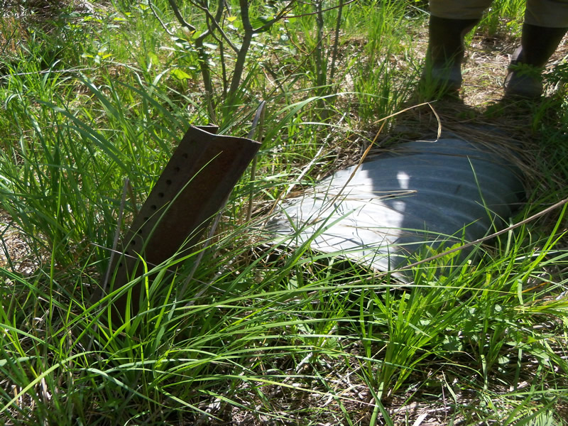
Inlet
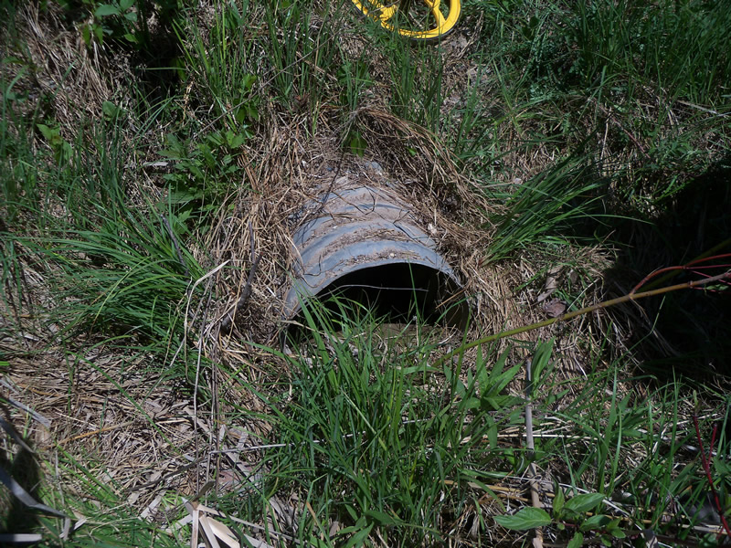
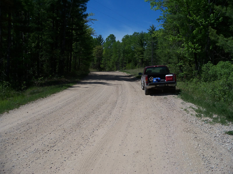
Outlet
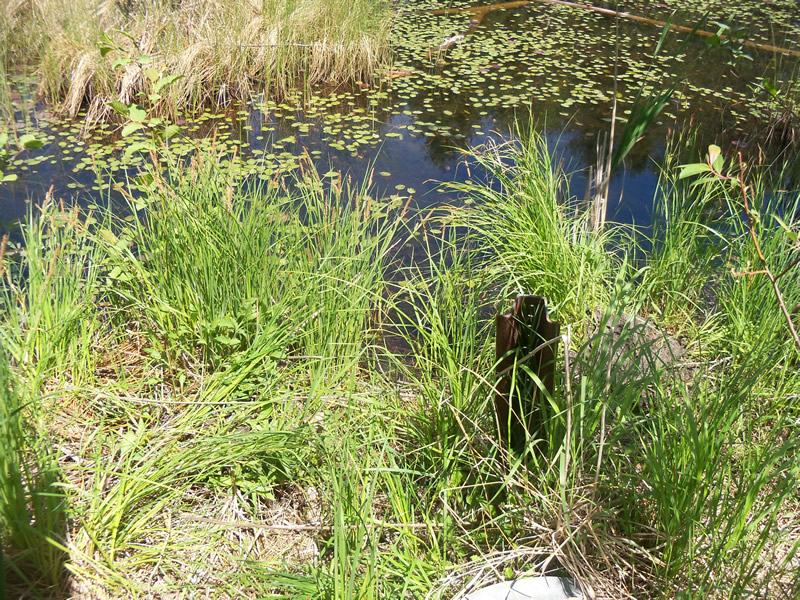
Upstream Conditions
Downstream Conditions
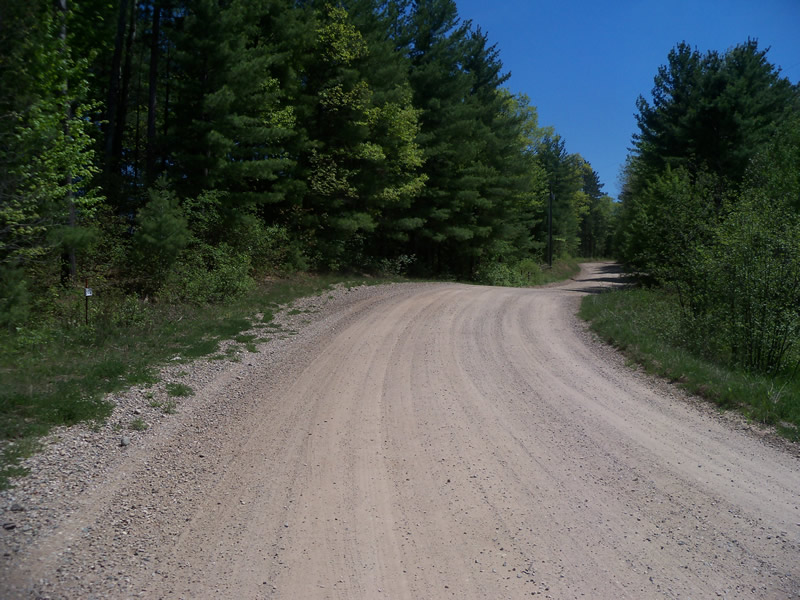
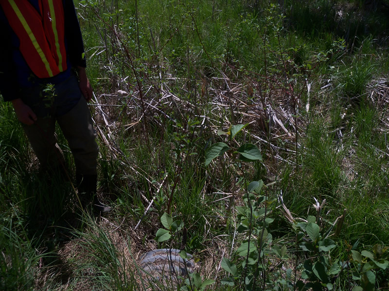
Road Approach - Left
Road Approach - Right
Crossing Information
Type of Crossing: culvert(s)
Number of Structures: 1
Structure Shape: Round
Inlet Type: Projecting
Outlet Type: Other
Structure Material: Metal
Structure Substrate: Mixture
General Conditions: Good
Structure Interior: corrugated
Dimensions of Structure: Length 48 ft.
, Width 1.3 ft.
, Height 1.3 ft.
Structure is NOT Perched
Water Depth: 0 ft.
Embedded Depth of Structure: 0 ft.
Water Velocity*: 0 ft./sec.
Water Depth: 0 ft.
Embedded Depth of Structure: 0 ft.
Water Velocity*: 0 ft./sec.
Stream Information
Stream Flow: None
Scour Pool: Length 0 ft.
, Width 0 ft.
, Depth 0 ft.
Upstream Pond: Length 0 ft.
, Width 0 ft.
, Depth 0 ft.
Riffle Information
Water Depth: 0 ft.
Bankfull Width: 0 ft.
Wetted Width: 0 ft.
Water Velocity: 0 ft./sec.
Road Information
Gravel
County Road
Road Condition: Good
Road Width at Culvert: 24.6 ft.
Location of Low Point: At Stream
Runoff Path: Roadway
Embankments
Upstream
Fill Depth: 2 ft.
Slope: More than 1:2
Downstream
Fill Depth: 1.1 ft.
Slope: More than 1:2
Approaches
Left Approach
Length: 112.1 ft.
Slope: 1% to 5%
Vegetation: Heavy
LS Factor: 0.385
Erosion: 0.2924 tons/year
Right Approach
Length: 198.9 ft.
Slope: 1% to 5%
Vegetation: Heavy
LS Factor: 0.429
Erosion: 0.5787 tons/year
Erosion Information
Total Erosion at Crossing: 0.872 tons/year
Extent of Erosion: Minor
Erosion is occurring and corrective actions can be installed to address the problem.
Location of Erosion | Erosion Dimensions | Eroded Material | Material Eroded | Total Erosion | ||
facing downstream | Length | Width | Depth | Reaching Stream? | (tons/year) | |
Left Approach |
4 ft. |
0.5 ft. |
0.2 ft. |
no |
Sand |
0.0009 |
Summary Information
Fish Passability 0.5
These non-native species were observerd at this site: Spotted Knapweed
�