Road Stream Crossing Site AUS_MO104
Au Sable River Watershed, Channel to West Twin Lake
Lagoon Street
Albert Twp,
Montmorency County
Information collected by:
Site Location
GPS Coordinates: 44.8788
, -84.37036
T29N
R01E
Sec 30
Owned by Private
Fish Passability 0.9
Structure is NOT Perched
Total Erosion: 0.0641 tons/year
Severity: Minor
Year Inventoried: 2013
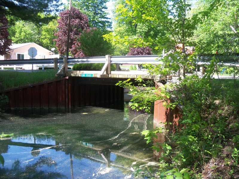
Inlet
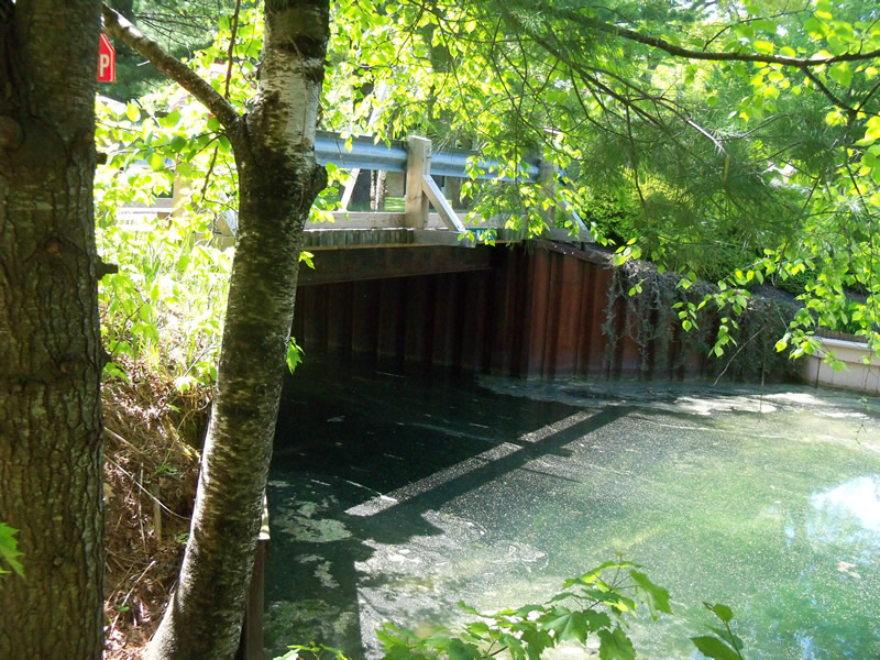
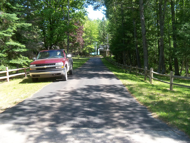
Outlet
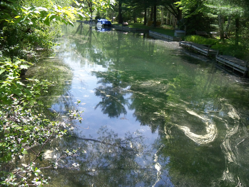
Upstream Conditions
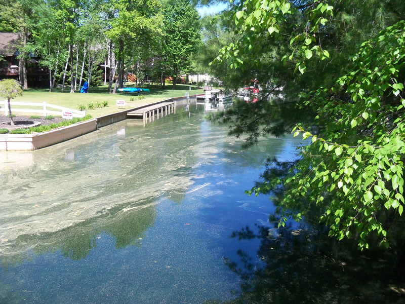
Downstream Conditions
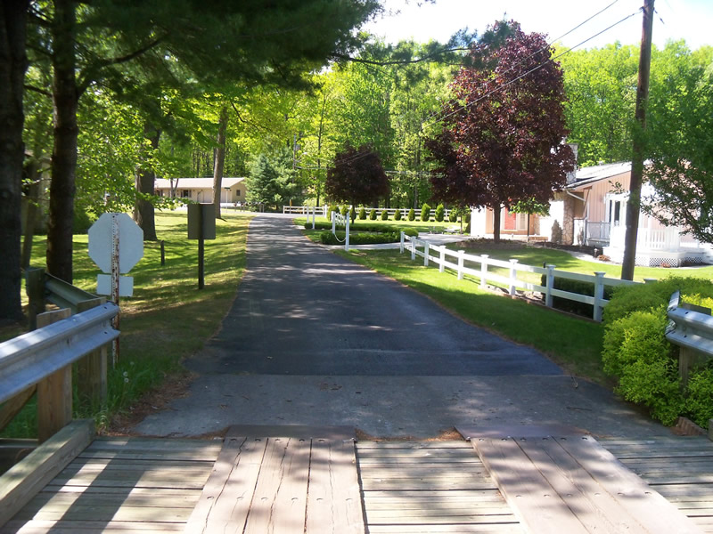
Road Approach - Left
Road Approach - Right
Crossing Information
Type of Crossing: Bridge
Structure Shape: Open Bottom Square/Rectangle
Inlet Type: Other
Outlet Type: Other
Structure Material: Wood
Structure Substrate: Sand
General Conditions: New
Structure Interior: smooth
Dimensions of Structure: Length 21 ft.
, Width 13.9 ft.
, Height 10 ft.
Structure is NOT Perched
Structure Inlet
Water Depth: 4 ft.
Embedded Depth of Structure: 0 ft.
Water Velocity*: 0.1 ft./sec.
Structure Outlet
Water Depth: 4.4 ft.
Embedded Depth of Structure: 0 ft.
Water Velocity*: 0.1 ft./sec.
*Water Velocities were measured at the Surface
(with Meter)
Additional Comments
Couldn't access the riffle-private property.
Stream Information
Stream Flow: Less than Bankfull
Scour Pool: Length 0 ft.
, Width 0 ft.
, Depth 0 ft.
Upstream Pond: Length 0 ft.
, Width 0 ft.
, Depth 0 ft.
Riffle Information
Water Depth: 0 ft.
Bankfull Width: 0 ft.
Wetted Width: 0 ft.
Water Velocity: 0 ft./sec.
Dominant Substrate: Sand
Road Information
Paved
Private Road
Road Condition: Good
Road Width at Culvert: 13.9 ft.
Location of Low Point: Other
Runoff Path: Roadway
Embankments
Upstream
Fill Depth: 0.7 ft.
Slope: Vertical
Downstream
Fill Depth: 0.7 ft.
Slope: Vertical
Approaches
Left Approach
Length: 264 ft.
Slope: 1% to 5%
Vegetation: Partial
LS Factor: 0.528
Erosion: 0.0641 tons/year
Right Approach
Length: 0 ft.
Slope: Less Than 1%
Vegetation: Partial
LS Factor: 0.05
Erosion: 0 tons/year
Erosion Information
Total Erosion at Crossing: 0.0641 tons/year
Summary Information
Fish Passability 0.9
�