Road Stream Crossing Site AUS_IS026
Au Sable River Watershed, South Branch Au Sable River
Rollway Rd
Plainfield Twp,
Iosco County
Information collected by:
Site Location
GPS Coordinates: 44.4854
, -83.80074
T24N
R05E
Sec 11
Owned by Private
Fish Passability 0
Structure is NOT Perched
Total Erosion: 1.5832 tons/year
Severity: Severe
Year Inventoried: 2013
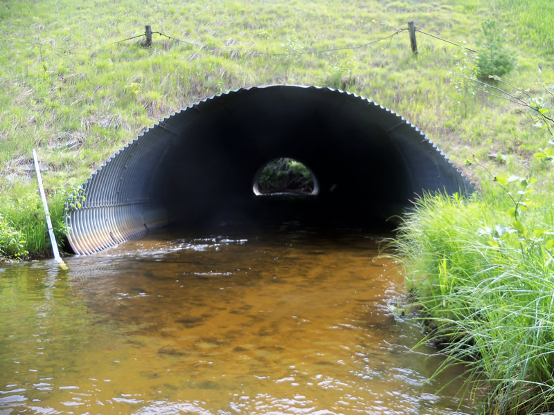
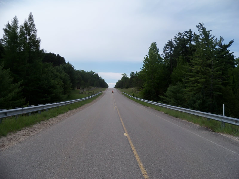
Inlet
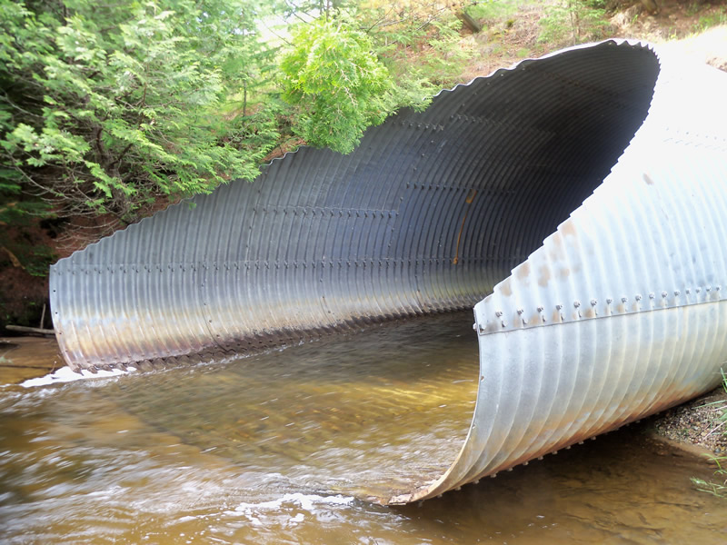
Outlet
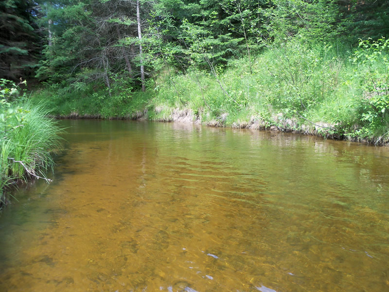
Upstream Conditions
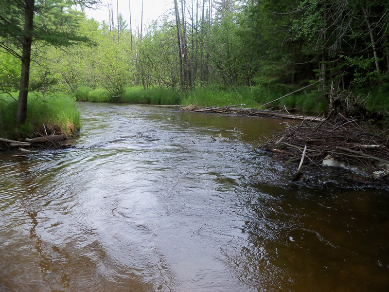
Downstream Conditions
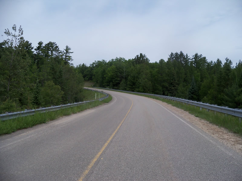
Road Approach - Left
Road Approach - Right
Crossing Information
Type of Crossing: culvert(s)
Number of Structures: 1
Structure Shape: Ellipse
Inlet Type: Mitered
Outlet Type: At Stream Grade
Structure Material: Metal
Structure Substrate: Mixture
General Conditions: Good
Structure Interior: corrugated
Dimensions of Structure: Length 88 ft.
, Width 16 ft.
, Height 13 ft.
Structure is NOT Perched
Structure Inlet
Water Depth: 1.8 ft.
Embedded Depth of Structure: 0.1 ft.
Water Velocity*: 4.3 ft./sec.
Structure Outlet
Water Depth: 0.6 ft.
Embedded Depth of Structure: 0 ft.
Water Velocity*: 6 ft./sec.
*Water Velocities were measured at the Surface
(with Meter)
Additional Comments
Private
Stream Information
Stream Flow: Less than Bankfull
Scour Pool: Length 25 ft.
, Width 60 ft.
, Depth 2.6 ft.
Upstream Pond: Length 0 ft.
, Width 0 ft.
, Depth 0 ft.
Riffle Information
Water Depth: 1.3 ft.
Bankfull Width: 23 ft.
Wetted Width: 20 ft.
Water Velocity: 5.5 ft./sec.
(Measured with Meter)
Dominant Substrate: Cobble
Road Information
Paved
County Road
Road Condition: Good
Road Width at Culvert: 28 ft.
Location of Low Point: At Stream
Runoff Path: Roadway
Embankments
Upstream
Fill Depth: 30 ft.
Slope: More than 1:2
Downstream
Fill Depth: 35 ft.
Slope: More than 1:2
Approaches
Left Approach
Length: 1000 ft.
Slope: 1% to 5%
Vegetation: Heavy
LS Factor: 0.57
Erosion: 0.5276 tons/year
Right Approach
Length: 1000 ft.
Slope: 1% to 5%
Vegetation: Heavy
LS Factor: 0.57
Erosion: 0.5276 tons/year
Erosion Information
Total Erosion at Crossing: 1.5832 tons/year
Extent of Erosion: Severe
Location of Erosion | Erosion Dimensions | Eroded Material | Material Eroded | Total Erosion | ||
facing downstream | Length | Width | Depth | Reaching Stream? | (tons/year) | |
Right Downtream Ditch |
20 ft. |
15 ft. |
1.2 ft. |
yes |
Sand |
0.528 |
Summary Information
Fish Passability 0
Erosion is an area of concern for this site.
Yes, severe erosion. Also, the water is moving very fast, more than 3 ft/second.
A future visit to this site is recommended. To evaluate the erosion and the speed of the river.
These non-native species were observerd at this site: Spotted Knapweed
�