Road Stream Crossing Site AUS_IS018
Au Sable River Watershed, Au Sable River
M-65
Oscoda Twp,
Iosco County
Information collected by:
Site Location
GPS Coordinates: 44.45417
, -83.6392
T24N
R06E
Sec 23
Owned by Private
Total Erosion: 0.7914 tons/year
Severity: Minor
Year Inventoried: 2013
Inlet
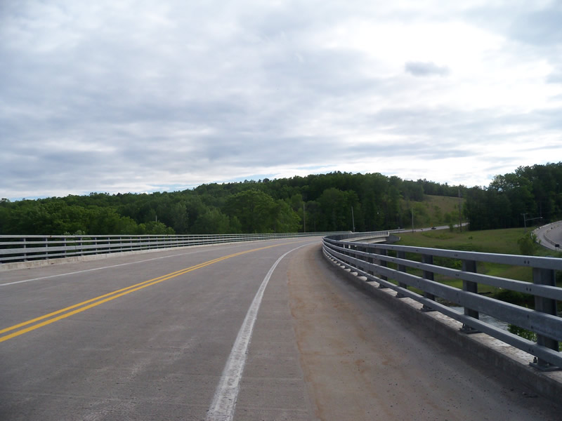
Outlet
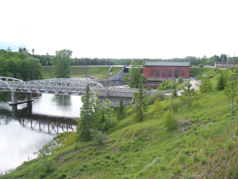
Upstream Conditions
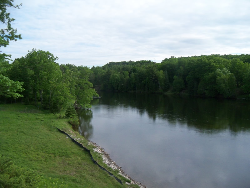
Downstream Conditions
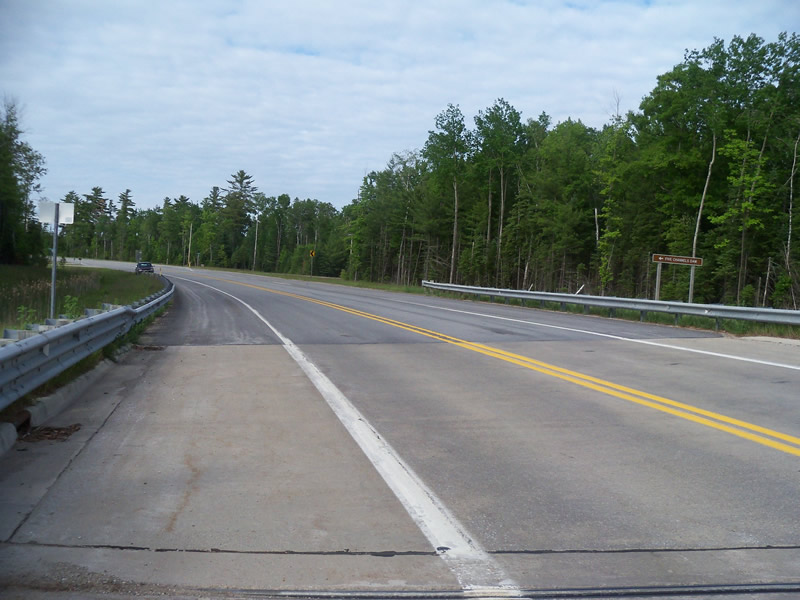
Road Approach - Left
Road Approach - Right
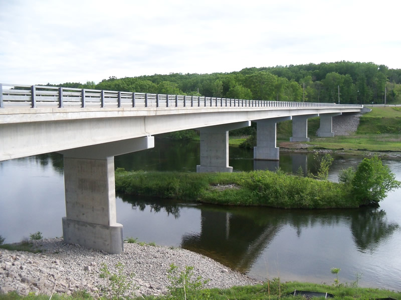
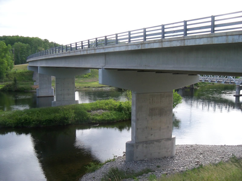
Crossing Information
Type of Crossing: Bridge
Structure Shape: Open Bottom Square/Rectangle
Inlet Type: Other
Outlet Type: At Stream Grade
Structure Material: Concrete
Structure Substrate: Mixture
General Conditions: Good
Structure Interior: smooth
Dimensions of Structure: Length 640 ft.
, Width 42 ft.
Stream Information
Stream Flow: Less than Bankfull
Scour Pool: Length 0 ft.
, Width 0 ft.
, Depth 0 ft.
Upstream Pond: Length 0 ft.
, Width 0 ft.
, Depth 0 ft.
Bankfull Width: 700 ft.
Wetted Width: 300 ft.
Road Information
Paved
State Road
Road Condition: Good
Road Width at Culvert: 42 ft.
Location of Low Point: Other
Runoff Path: Roadway
Approaches
Left Approach
Length: 0 ft.
Slope: Less Than 1%
Vegetation: Heavy
LS Factor: 0.05
Erosion: 0 tons/year
Right Approach
Length: 1000 ft.
Slope: 1% to 5%
Vegetation: Heavy
LS Factor: 0.57
Erosion: 0.7914 tons/year
Erosion Information
Total Erosion at Crossing: 0.7914 tons/year
Summary Information
These non-native species were observerd at this site: Sweet Clover, Autumn Olive
�