Road Stream Crossing Site AUS_OG015
Au Sable River Watershed, Harper's Creek
Heath Rd
Goodar Twp,
Ogemaw County
Information collected by:
Site Location
GPS Coordinates: 44.46524
, -83.89455
T24N
R04E
Sec 13,24
Owned by Private
Fish Passability 0.5
Structure is NOT Perched
Total Erosion: 0.8827 tons/year
Severity: Moderate
Year Inventoried: 2013
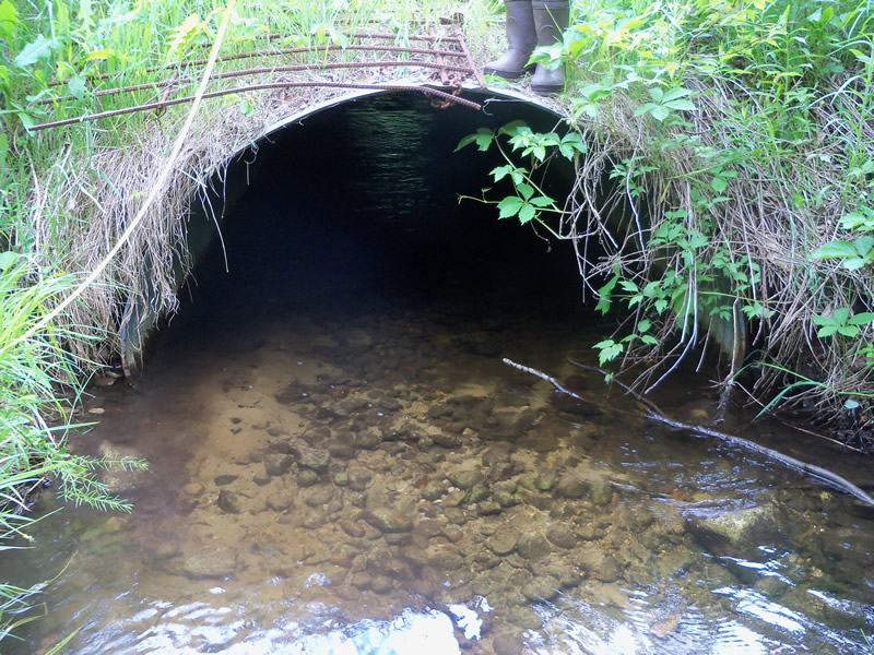
Inlet
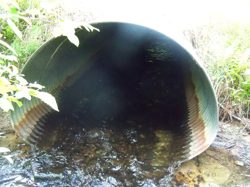
Outlet
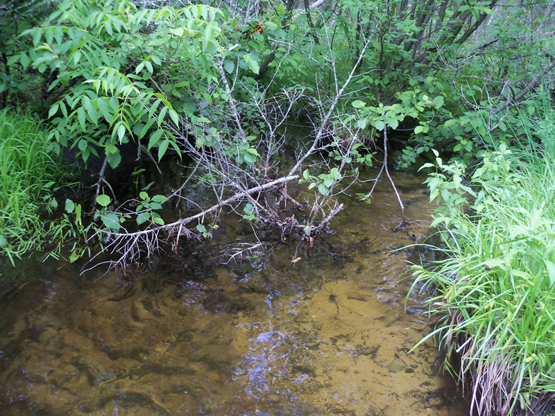
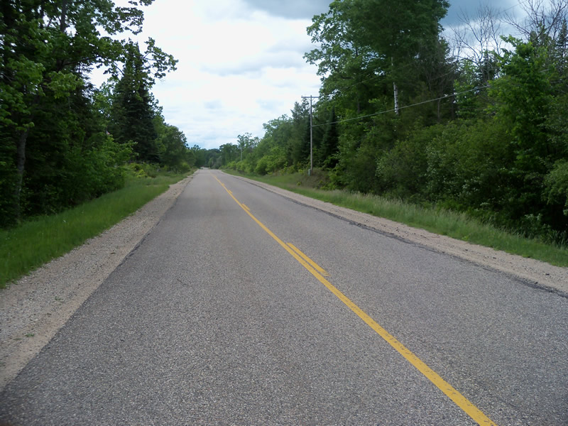
Upstream Conditions
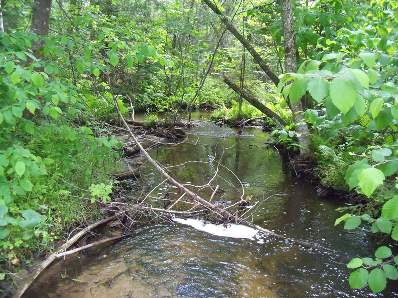
Downstream Conditions
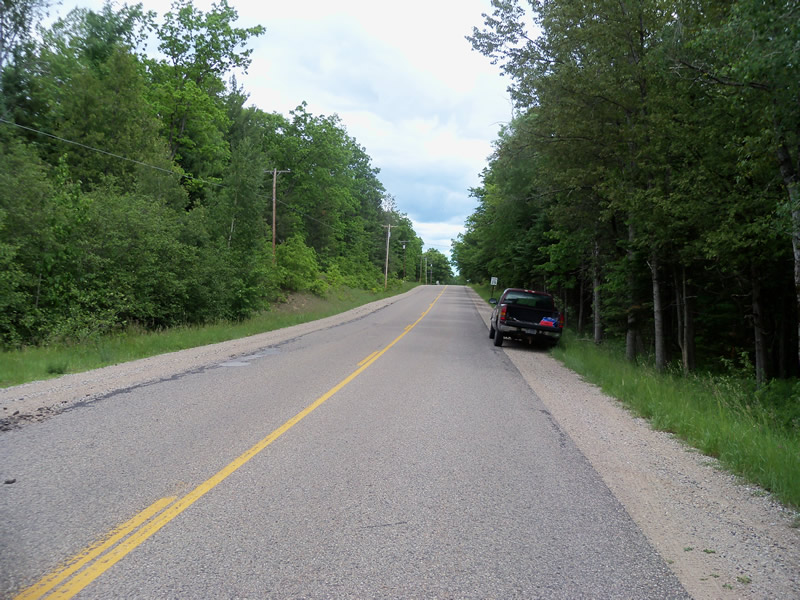
Road Approach - Left
Road Approach - Right
Crossing Information
Type of Crossing: culvert(s)
Number of Structures: 1
Structure Shape: Ellipse
Inlet Type: Projecting
Outlet Type: At Stream Grade
Structure Material: Metal
Structure Substrate: Mixture
General Conditions: Fair
Structure Interior: corrugated
Structure is Rusted through
Dimensions of Structure: Length 52 ft.
, Width 6 ft.
, Height 4 ft.
Structure is NOT Perched
Structure Inlet
Water Depth: 0.8 ft.
Embedded Depth of Structure: 0.1 ft.
Water Velocity*: 1.2 ft./sec.
Structure Outlet
Water Depth: 0.3 ft.
Embedded Depth of Structure: 0.1 ft.
Water Velocity*: 2.9 ft./sec.
*Water Velocities were measured at the Surface
(with Meter)
Stream Information
Stream Flow: Less than Bankfull
Scour Pool: Length 6 ft.
, Width 11 ft.
, Depth 0.4 ft.
Upstream Pond: Length 11.5 ft.
, Width 10.6 ft.
, Depth 1.1 ft.
Riffle Information
Water Depth: 0.9 ft.
Bankfull Width: 8 ft.
Wetted Width: 7.4 ft.
Water Velocity: 1.2 ft./sec.
(Measured with Meter)
Dominant Substrate: Sand
Road Information
Paved
County Road
Road Condition: Good
Road Width at Culvert: 30 ft.
Location of Low Point: At Stream
Runoff Path: Roadway
Embankments
Upstream
Fill Depth: 2 ft.
Slope: More than 1:2
Downstream
Fill Depth: 1.4 ft.
Slope: More than 1:2
Approaches
Left Approach
Length: 612 ft.
Slope: 1% to 5%
Vegetation: Heavy
LS Factor: 0.522
Erosion: 0.3167 tons/year
Right Approach
Length: 1000 ft.
Slope: 1% to 5%
Vegetation: Heavy
LS Factor: 0.57
Erosion: 0.5653 tons/year
Erosion Information
Total Erosion at Crossing: 0.8827 tons/year
Extent of Erosion: Minor
Erosion is occurring and corrective actions can be installed to address the problem.
Location of Erosion | Erosion Dimensions | Eroded Material | Material Eroded | Total Erosion | ||
facing downstream | Length | Width | Depth | Reaching Stream? | (tons/year) | |
Left Downstream Ditch |
8.5 ft. |
1.2 ft. |
0.1 ft. |
no |
Loam |
0.0007 |
Summary Information
Fish Passability 0.5
A future visit to this site is recommended. There is a scour pool and upstream pond.
These non-native species were observerd at this site: Autumn Olive, Spotted Knapweed, Sweet Clover
�