
Road Stream Crossing Site AUS_OS163
Au Sable River Watershed, Tributary of Perry Creek
Kneeland Rd
Comins Twp,
Oscoda County
Information collected by:

Site Location
GPS Coordinates: 44.71054
, -84.08063
T27N
R03E
Sec 21,28
Owned by Private
Fish Passability 0.9
Structure is NOT Perched
Total Erosion: 1.4837 tons/year
Severity: Moderate
Year Inventoried: 2013
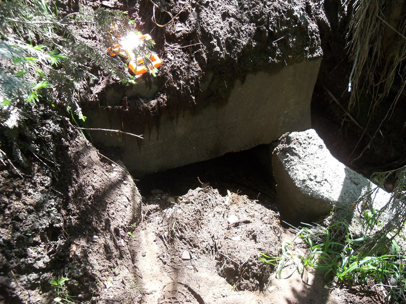
Inlet
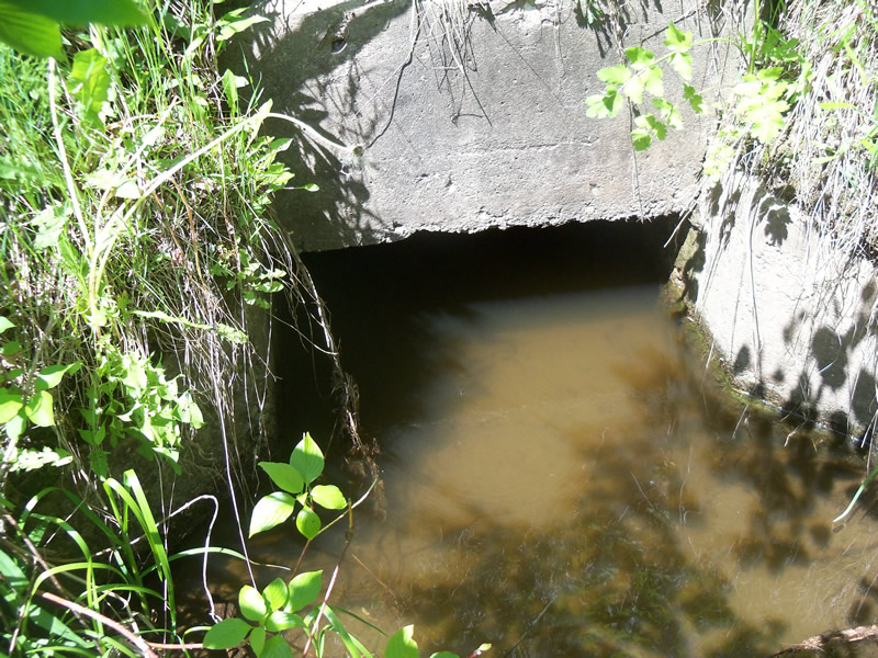
Outlet
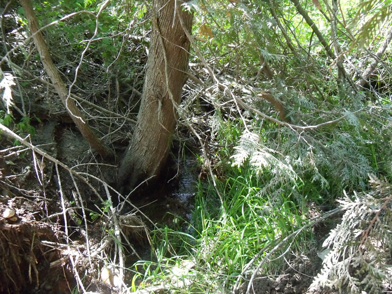
Upstream Conditions
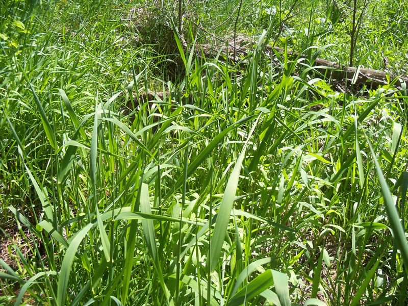
Downstream Conditions
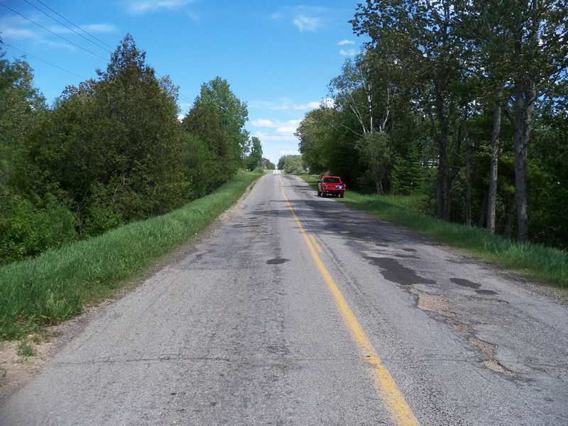
Road Approach - Left
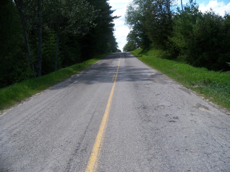
Road Approach - Right
Crossing Information
Type of Crossing: culvert(s)
Number of Structures: 1
Structure Shape: Open Bottom Square/Rectangle
Inlet Type: Headwall
Outlet Type: At Stream Grade
Structure Material: Concrete
Structure Substrate: Gravel
General Conditions: Fair
Structure Interior: smooth
Dimensions of Structure: Length 62.6 ft.
, Width 3 ft.
, Height 1 ft.
Structure is NOT Perched
Structure Inlet
Water Depth: 0.2 ft.
Embedded Depth of Structure: 0 ft.
Water Velocity*: 0.7 ft./sec.
Structure Outlet
Water Depth: 1.1 ft.
Embedded Depth of Structure: 0 ft.
Water Velocity*: 0 ft./sec.
*Water Velocities were measured at the Surface
(with Meter)
Stream Information
Stream Flow: Less than Bankfull
Scour Pool: Length 5 ft.
, Width 5 ft.
, Depth 0.8 ft.
Upstream Pond: Length 0 ft.
, Width 0 ft.
, Depth 0 ft.
Riffle Information
Water Depth: 0.1 ft.
Bankfull Width: 3.4 ft.
Wetted Width: 2.3 ft.
Water Velocity: 1.1 ft./sec.
(Measured with Meter)
Dominant Substrate: Gravel
Road Information
Paved
County Road
Road Condition: Fair
Road Width at Culvert: 22.6 ft.
Location of Low Point: At Stream
Runoff Path: Roadway
Embankments
Upstream
Fill Depth: 12.2 ft.
Slope: 1:1.5
Downstream
Fill Depth: 12 ft.
Slope: Vertical
Approaches
Left Approach
Length: 486.7 ft.
Slope: 1% to 5%
Vegetation: Heavy
LS Factor: 0.497
Erosion: 0.1808 tons/year
Right Approach
Length: 417.5 ft.
Slope: 1% to 5%
Vegetation: Heavy
LS Factor: 0.484
Erosion: 0.1508 tons/year
Erosion Information
Total Erosion at Crossing: 1.4837 tons/year
Extent of Erosion: Severe
Erosion is occurring and corrective actions can be installed to address the problem.
Notes: The entire roadside above the inlet appears to have recently been cleared of vegetation and then hydroseeded, with some netting also put down. However, the entire bottom half of this soil on the embankment has washed down into the stream and appears to be filling much of the stream channel.
Location of Erosion | Erosion Dimensions | Eroded Material | Material Eroded | Total Erosion | ||
facing downstream | Length | Width | Depth | Reaching Stream? | (tons/year) | |
Right Upstream Embankment |
10 ft. |
10 ft. |
3 ft. |
yes |
Sandy Loam |
0.576 |
Left Upstream Embankment |
10 ft. |
10 ft. |
3 ft. |
yes |
Sandy Loam |
0.576 |
Summary Information
Fish Passability 0.9
Erosion is an area of concern for this site.
Yes, because there is severe erosion on the inlet side, and a lot of dirt from the embankment has fallen into the stream.
A future visit to this site is recommended. To evaluate what to do to stabilize the embankment and deal with the dirt that has fallen into the stream.
These non-native species were observerd at this site: Sweet Clover, Wild Parsnip