Road Stream Crossing Site AUS_PR047
Au Sable River Watershed, East Branch Pine River
Ritchie Rd
Hawes Twp,
Alcona County
Information collected by:
Site Location
GPS Coordinates: 44.69908
, -83.43769
T27N
R08E
Sec 26,35
Owned by Private
Fish Passability 0.9
Structure is NOT Perched
Total Erosion: 0.9987 tons/year
Severity: Moderate
Year Inventoried: 2013
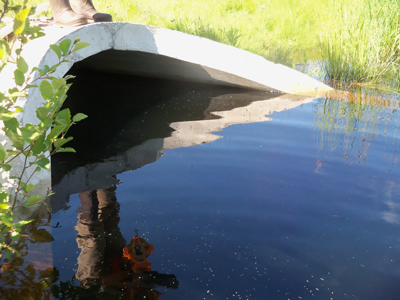
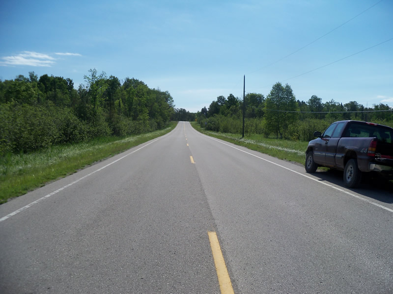
Inlet
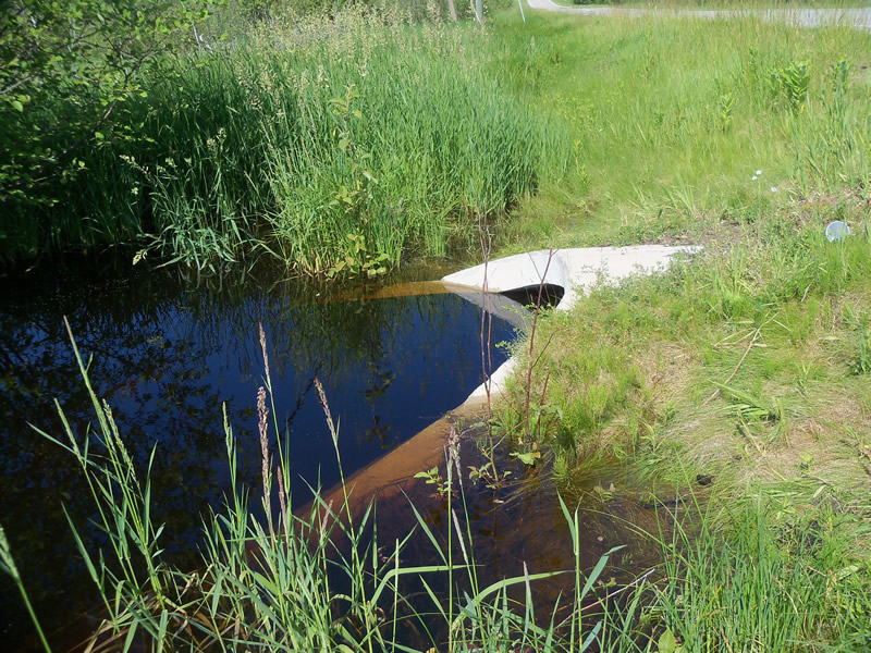
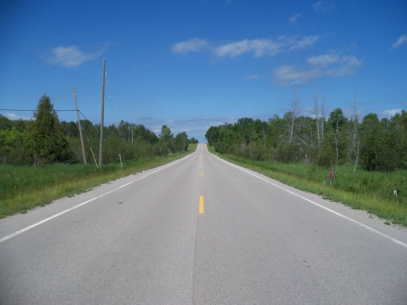
Outlet
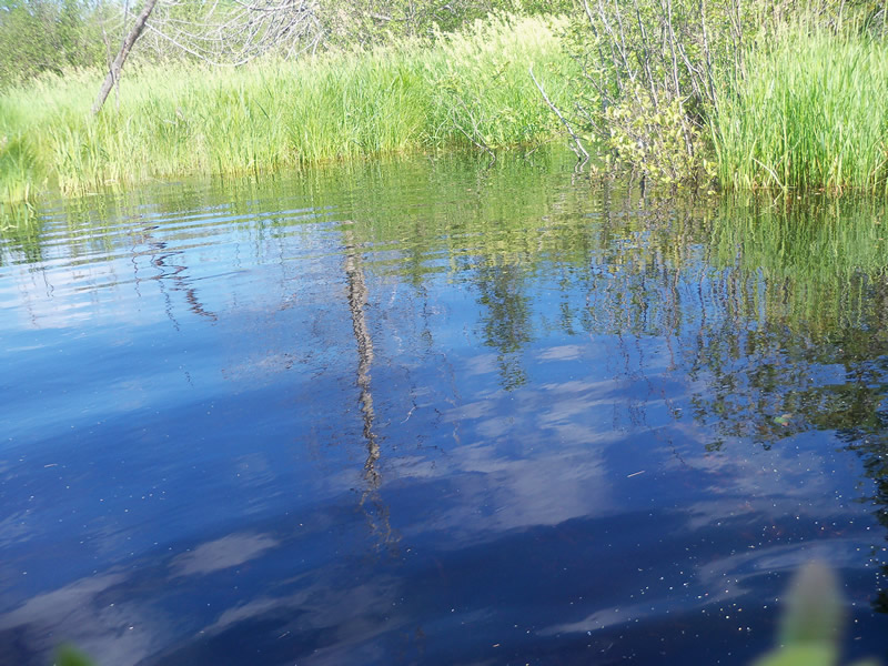
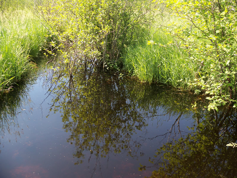
Upstream Conditions
Downstream Conditions
Road Approach - Left
Road Approach - Right
Crossing Information
Type of Crossing: culvert(s)
Number of Structures: 1
Structure Shape: Round
Inlet Type: Apron
Outlet Type: Outlet Apron
Structure Material: Concrete
Structure Substrate: Mixture
General Conditions: Good
Structure Interior: smooth
Dimensions of Structure: Length 55 ft.
, Width 5 ft.
, Height 5 ft.
Structure is NOT Perched
Structure Inlet
Water Depth: 4 ft.
Embedded Depth of Structure: 0.3 ft.
Water Velocity*: 0.1 ft./sec.
Structure Outlet
Water Depth: 4.5 ft.
Embedded Depth of Structure: 0.4 ft.
Water Velocity*: 0.2 ft./sec.
*Water Velocities were measured at the Surface
(with Meter)
Stream Information
Stream Flow: More than Bankfull
Scour Pool: Length 17 ft.
, Width 16 ft.
, Depth 5 ft.
Upstream Pond: Length 20 ft.
, Width 36 ft.
, Depth 5 ft.
Riffle Information
Water Depth: 4 ft.
Bankfull Width: 13 ft.
Wetted Width: 13.5 ft.
Water Velocity: 0.1 ft./sec.
(Measured with Meter)
Dominant Substrate: Organics
Road Information
Paved
County Road
Road Condition: Good
Road Width at Culvert: 26.5 ft.
Location of Low Point: At Stream
Runoff Path: Ditch
Embankments
Upstream
Fill Depth: 0.7 ft.
Slope: More than 1:2
Downstream
Fill Depth: 1.7 ft.
Slope: More than 1:2
Approaches
Left Approach
Length: 1000 ft.
Slope: 1% to 5%
Vegetation: Heavy
LS Factor: 0.57
Erosion: 0.4993 tons/year
Right Approach
Length: 1000 ft.
Slope: 1% to 5%
Vegetation: Heavy
LS Factor: 0.57
Erosion: 0.4993 tons/year
Erosion Information
Total Erosion at Crossing: 0.9987 tons/year
Summary Information
Fish Passability 0.9
Erosion is an area of concern for this site.
Yes, there is a large scour pool and upstream pond. The area is flooded.
A future visit to this site is recommended. There is a large scour pool and upstream pond. The area is flooded so water levels should be checked.
These non-native species were observerd at this site: Spotted Knapweed
�