Road Stream Crossing Site AUS_PR058
Au Sable River Watershed, Tributary of East Branch Pine River
M-72
Gustin Twp,
Alcona County
Information collected by:
Site Location
GPS Coordinates: 44.65578
, -83.44158
T26N
R08E
Sec 11,14
Owned by Private
Fish Passability 0.5
Structure is NOT Perched
Total Erosion: 1.588 tons/year
Severity: Severe
Year Inventoried: 2012

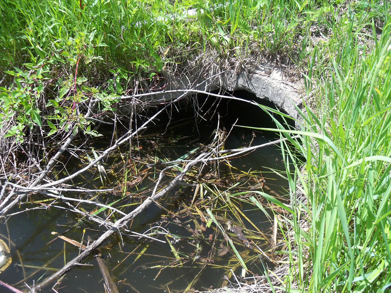
Inlet
Outlet

Upstream Conditions
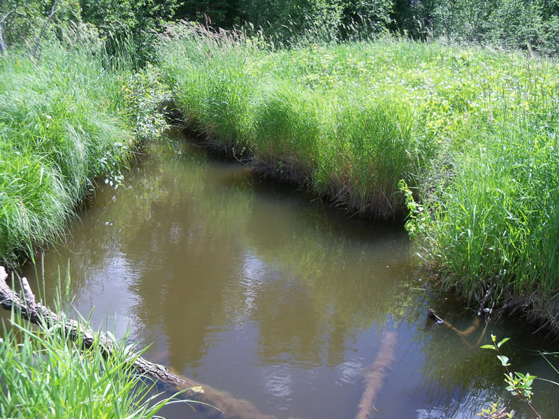
Downstream Conditions
Road Approach - Left
Road Approach - Right
Crossing Information
Type of Crossing: culvert(s)
Number of Structures: 1
Structure Shape: Round
Inlet Type: Projecting
Outlet Type: Outlet Apron
Structure Material: Metal
Structure Substrate: None
General Conditions: Good
Structure Interior: corrugated
Dimensions of Structure: Length 110 ft.
, Width 3 ft.
, Height 3 ft.
Structure is NOT Perched
Structure Inlet
Water Depth: 1.4 ft.
Embedded Depth of Structure: 0 ft.
Water Velocity*: 0 ft./sec.
Structure Outlet
Water Depth: 2.2 ft.
Embedded Depth of Structure: 0.1 ft.
Water Velocity*: 0 ft./sec.
*Water Velocities were measured at the Surface
(with Meter)
Additional Comments
Inlet is metal. Outlet is concrete.
Stream Information
Stream Flow: Less than Bankfull
Scour Pool: Length 23 ft.
, Width 15.5 ft.
, Depth 2.3 ft.
Upstream Pond: Length 11 ft.
, Width 8 ft.
, Depth 2 ft.
Riffle Information
Water Depth: 1.7 ft.
Bankfull Width: 7 ft.
Wetted Width: 5 ft.
Water Velocity: 0 ft./sec.
(Measured with Meter)
Dominant Substrate: Sand
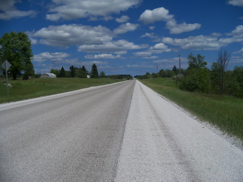
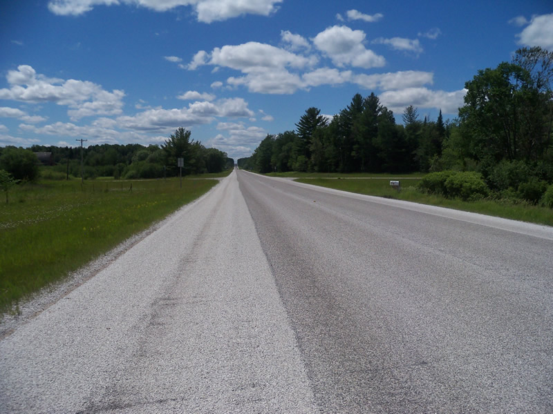
Road Information
Paved
State Road
Road Condition: Good
Road Width at Culvert: 41 ft.
Location of Low Point: At Stream
Runoff Path: Ditch
Embankments
Upstream
Fill Depth: 7.3 ft.
Slope: More than 1:2
Downstream
Fill Depth: 5.2 ft.
Slope: More than 1:2
Approaches
Left Approach
Length: 1000 ft.
Slope: 1% to 5%
Vegetation: Heavy
LS Factor: 0.57
Erosion: 0.7726 tons/year
Right Approach
Length: 1000 ft.
Slope: 1% to 5%
Vegetation: Heavy
LS Factor: 0.57
Erosion: 0.7726 tons/year
Erosion Information
Total Erosion at Crossing: 1.588 tons/year
Extent of Erosion: Moderate
Erosion is occurring and corrective actions can be installed to address the problem.
Notes: Holes near outlet.
Location of Erosion | Erosion Dimensions | Eroded Material | Material Eroded | Total Erosion | ||
facing downstream | Length | Width | Depth | Reaching Stream? | (tons/year) | |
Left Downstream Ditch |
2.6 ft. |
1.2 ft. |
1.3 ft. |
yes |
Sandy Loam |
0.0227 |
Right Downtream Ditch |
2 ft. |
1.3 ft. |
1.5 ft. |
yes |
Sandy Loam |
0.0202 |
Summary Information
Fish Passability 0.5
Fish Passage is an area of concern for this site.
Culvert is very long. Beaver dams are blocking up the river.
A future visit to this site is recommended. To check if beavers plug the culvert further.
These non-native species were observerd at this site: Sweet Clover, Autumn Olive
�