Road Stream Crossing Site AUS_PR003
Au Sable River Watershed, Surface Drain
M-72
Harrisville,
Alcona County
Information collected by:
Site Location
GPS Coordinates: 44.65644
, -83.36175
T26N
R09E
Sec 9,16
Owned by Private
Fish Passability 0.9
Structure is NOT Perched
Total Erosion: 0.8813 tons/year
Severity: Moderate
Year Inventoried: 2012
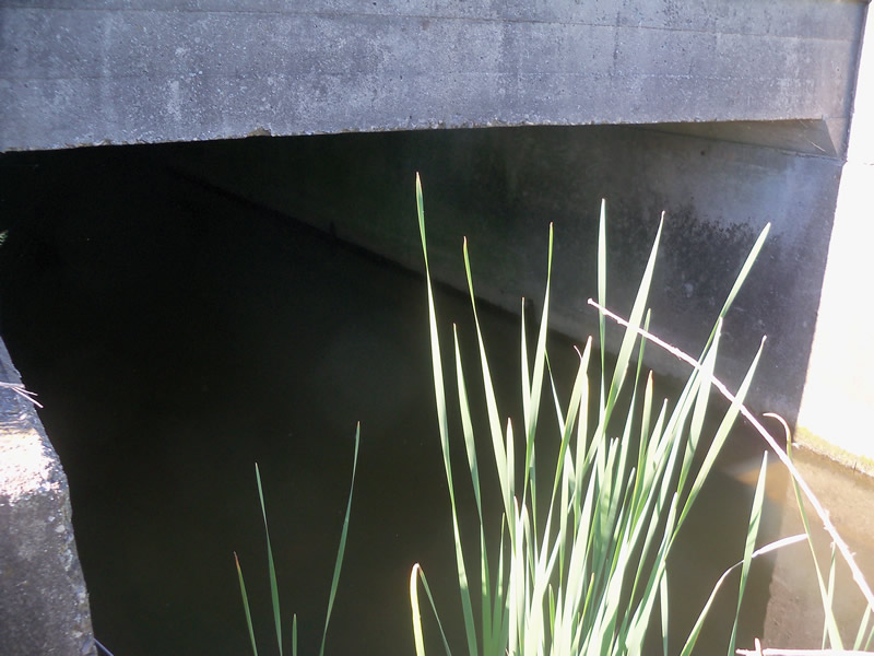
Inlet
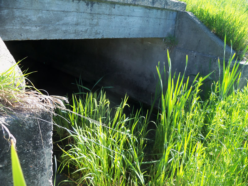
Outlet
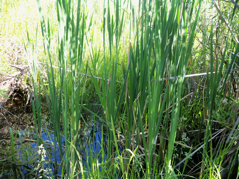
Upstream Conditions
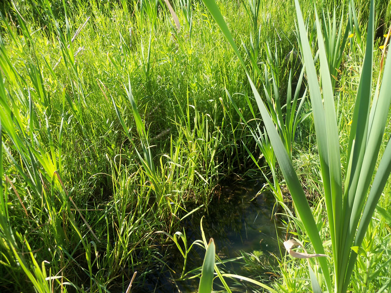
Downstream Conditions
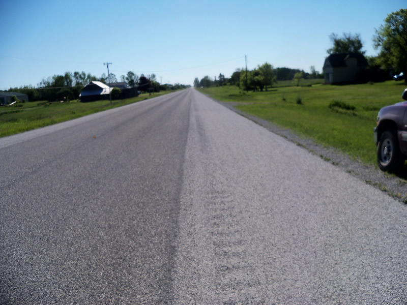
Road Approach - Left
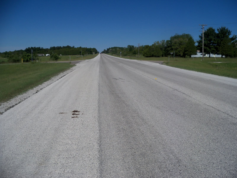
Road Approach - Right
Crossing Information
Type of Crossing: culvert(s)
Number of Structures: 1
Structure Shape: Open Bottom Square/Rectangle
Inlet Type: Headwall
Outlet Type: At Stream Grade
Structure Material: Concrete
Structure Substrate: Mixture
General Conditions: Fair
Structure Interior: smooth
Dimensions of Structure: Length 122 ft.
, Width 10 ft.
, Height 6.3 ft.
Structure is NOT Perched
Structure Inlet
Water Depth: 1.4 ft.
Embedded Depth of Structure: 0 ft.
Water Velocity*: 0 ft./sec.
Structure Outlet
Water Depth: 1.6 ft.
Embedded Depth of Structure: 0 ft.
Water Velocity*: 0 ft./sec.
*Water Velocities were measured at the Surface
(with Meter)
Additional Comments
Assumed to be same culvert as PR004 as this is the only culvert of this type in the area.
Stream Information
Stream Flow: Less than 1/2 Bankfull
Scour Pool: Length 0 ft.
, Width 0 ft.
, Depth 0 ft.
Upstream Pond: Length 1.7 ft.
, Width 16 ft.
, Depth 1.4 ft.
Riffle Information
Water Depth: 0.9 ft.
Bankfull Width: 30 ft.
Wetted Width: 3.8 ft.
Water Velocity: 0 ft./sec.
(Measured with Meter)
Dominant Substrate: Organics
Road Information
Paved
State Road
Road Condition: Good
Road Width at Culvert: 43 ft.
Location of Low Point: At Stream
Runoff Path: Ditch
Embankments
Upstream
Fill Depth: 5.7 ft.
Slope: More than 1:2
Downstream
Fill Depth: 5.9 ft.
Slope: More than 1:2
Approaches
Left Approach
Length: 1000 ft.
Slope: Less Than 1%
Vegetation: Heavy
LS Factor: 0.05
Erosion: 0.0711 tons/year
Right Approach
Length: 1000 ft.
Slope: 1% to 5%
Vegetation: Heavy
LS Factor: 0.57
Erosion: 0.8102 tons/year
Erosion Information
Total Erosion at Crossing: 0.8813 tons/year
Summary Information
Fish Passability 0.9
Fish Passage is an area of concern for this site.
The culvert is very long and may pose a fish passage barrier.
A future visit to this site is recommended. The culvert is very long and may pose a fish passage barrier. Also the water is cloudy and stagnant, and there is an upstream pond.
These non-native species were observerd at this site: Spotted Knapweed, Autumn Olive
�