Road Stream Crossing Site AUS_PR006
Au Sable River Watershed, Surface Drain
Clemens Rd
Harrisville,
Alcona County
Information collected by:
Site Location
GPS Coordinates: 44.63475
, -83.36459
T26N
R09E
Sec 20
Owned by Private
Fish Passability 0.5
Structure is NOT Perched
Total Erosion: 0.533 tons/year
Severity: Moderate
Year Inventoried: 2012
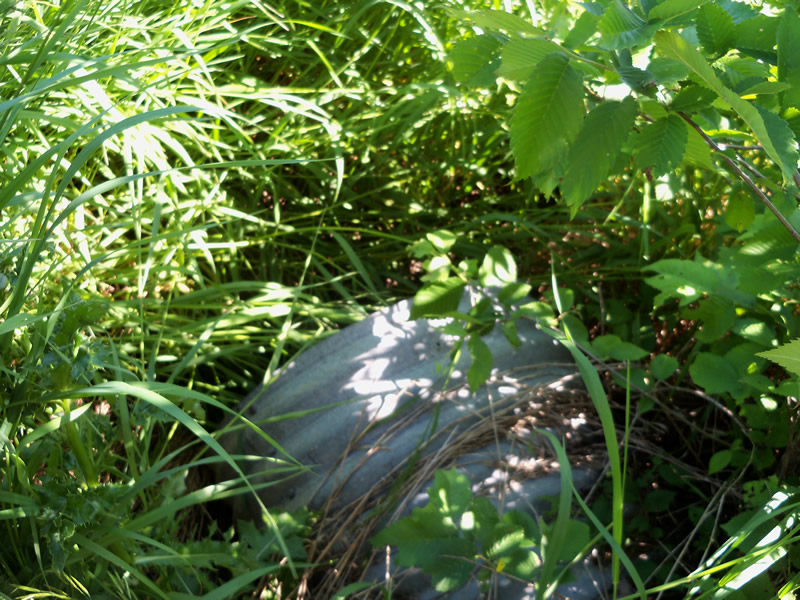
Inlet
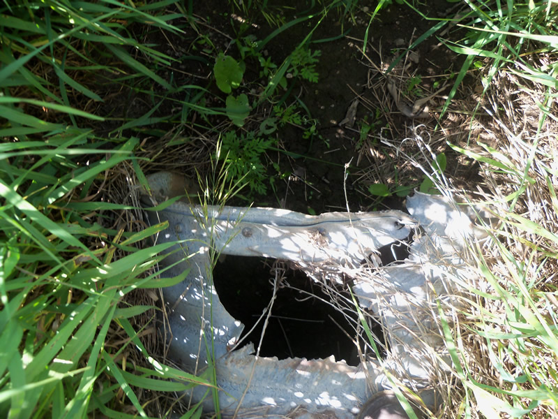
Outlet
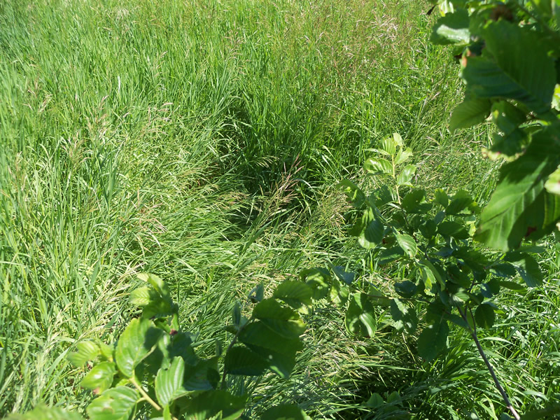
Upstream Conditions
Downstream Conditions
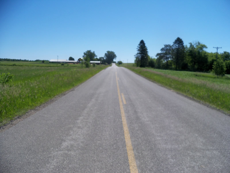
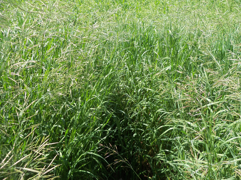
Road Approach - Left
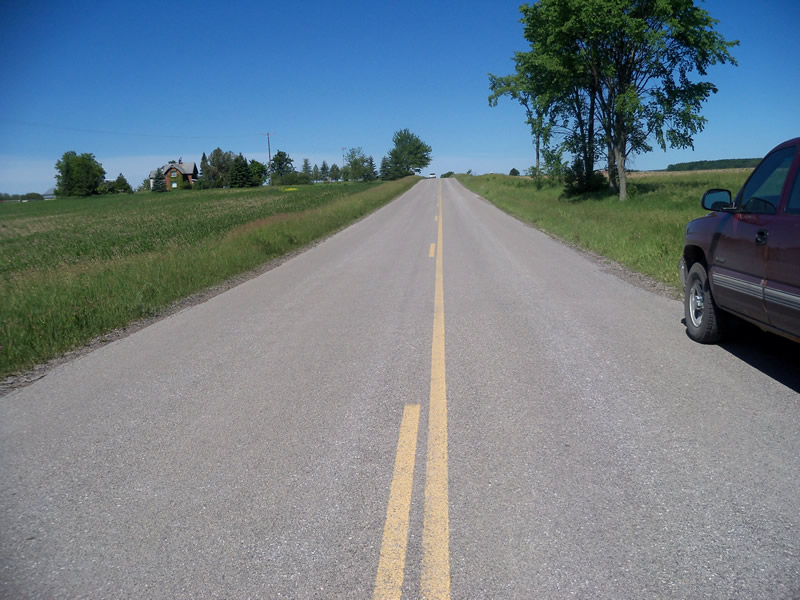
Road Approach - Right
Crossing Information
Type of Crossing: culvert(s)
Number of Structures: 1
Structure Shape: Ellipse
Inlet Type: Projecting
Outlet Type: At Stream Grade
Structure Material: Metal
Structure Substrate: Sand
General Conditions: Poor
Structure Interior: corrugated
Structure is Rusted through
Dimensions of Structure: Length 51.5 ft.
, Width 2 ft.
, Height 1.5 ft.
Percentage Crushed:
Inlet: 0%
Outlet: 1% to 25%
In Pipe: 0%
Structure is NOT Perched
Water Depth: 0 ft.
Embedded Depth of Structure: 0 ft.
Water Velocity*: 0 ft./sec.
Water Depth: 0 ft.
Embedded Depth of Structure: 0 ft.
Water Velocity*: 0 ft./sec.
Additional Comments
There is no riffle or stream.
Stream Information
Stream Flow: None
Scour Pool: Length 0 ft.
, Width 0 ft.
, Depth 0 ft.
Upstream Pond: Length 0 ft.
, Width 0 ft.
, Depth 0 ft.
Riffle Information
Water Depth: 0 ft.
Bankfull Width: 0 ft.
Wetted Width: 0 ft.
Water Velocity: 0 ft./sec.
Road Information
Paved
County Road
Road Condition: Fair
Road Width at Culvert: 24 ft.
Location of Low Point: At Stream
Runoff Path: Roadway
Embankments
Upstream
Fill Depth: 3.5 ft.
Slope: More than 1:2
Downstream
Fill Depth: 2.5 ft.
Slope: More than 1:2
Approaches
Left Approach
Length: 290.8 ft.
Slope: 1% to 5%
Vegetation: Heavy
LS Factor: 0.456
Erosion: 0.1053 tons/year
Right Approach
Length: 953.6 ft.
Slope: 1% to 5%
Vegetation: Heavy
LS Factor: 0.565
Erosion: 0.4277 tons/year
Erosion Information
Total Erosion at Crossing: 0.533 tons/year
Summary Information
Fish Passability 0.5
These non-native species were observerd at this site: Sweet Clover, Spotted Knapweed
�