Road Stream Crossing Site AUS_CR111
Au Sable River Watershed, West Branch Big Creek
Big Creek Lodge Rd
Lovells Twp,
crawford County
Information collected by:
Site Location
GPS Coordinates: 44.78645
, -84.42796
T28N
R01W
Sec 27
Owned by Private
Fish Passability 0.9
Structure is NOT Perched
Total Erosion: 0.7534 tons/year
Severity: Moderate
Year Inventoried: 2013
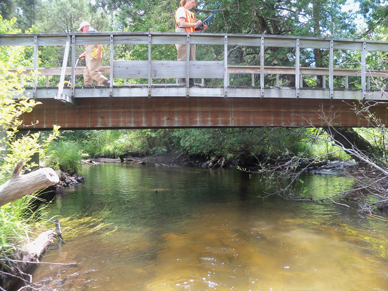
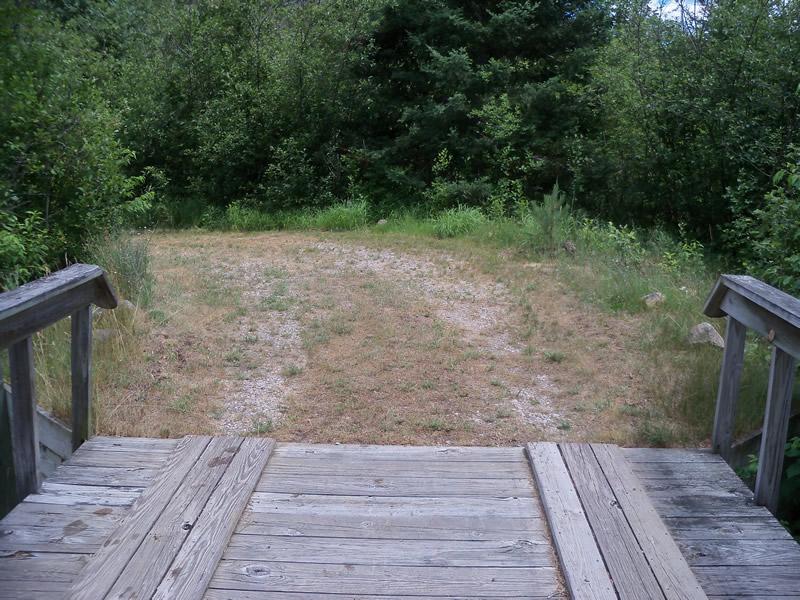
Inlet
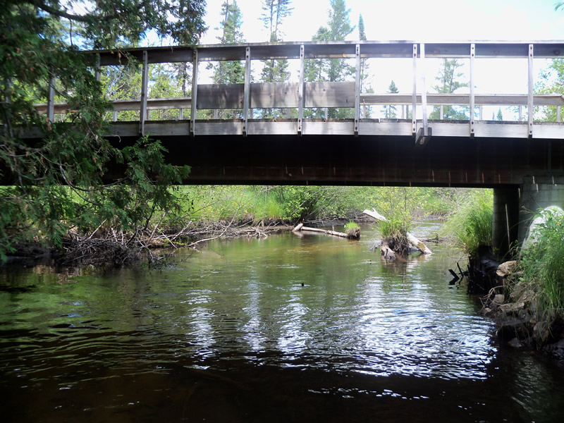
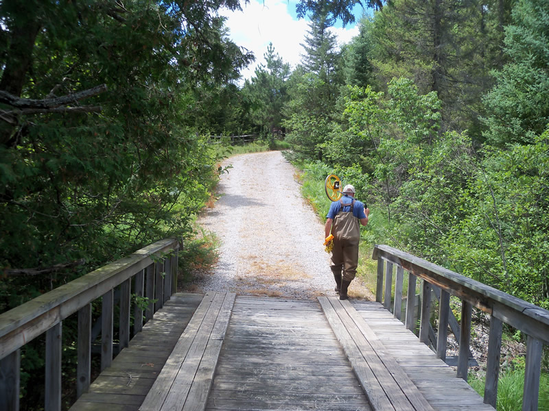
Outlet
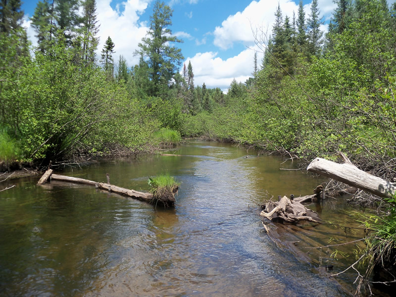
Upstream Conditions
Downstream Conditions
Road Approach - Left
Road Approach - Right
Crossing Information
Type of Crossing: Bridge
Structure Shape: Open Bottom Square/Rectangle
Inlet Type: Other
Outlet Type: At Stream Grade
Structure Material: Wood
Structure Substrate: Mixture
General Conditions: Good
Structure Interior: smooth
Dimensions of Structure: Length 40 ft.
, Width 9 ft.
, Height 6 ft.
Structure is NOT Perched
Structure Inlet
Water Depth: 1.7 ft.
Embedded Depth of Structure: 0 ft.
Water Velocity*: 1.4 ft./sec.
Structure Outlet
Water Depth: 1.8 ft.
Embedded Depth of Structure: 0 ft.
Water Velocity*: 1 ft./sec.
*Water Velocities were measured at the Surface
(with Meter)
Stream Information
Stream Flow: Less than Bankfull
Scour Pool: Length 0 ft.
, Width 0 ft.
, Depth 0 ft.
Upstream Pond: Length 0 ft.
, Width 0 ft.
, Depth 0 ft.
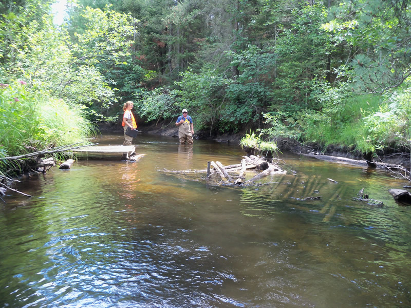
Riffle Information
Water Depth: 1 ft.
Bankfull Width: 35 ft.
Wetted Width: 27 ft.
Water Velocity: 1 ft./sec.
(Measured with Meter)
Dominant Substrate: Sand
Road Information
Gravel
Private Road
Road Condition: Good
Road Width at Culvert: 9 ft.
Location of Low Point: Other
Runoff Path: Roadway
Embankments
Upstream
Fill Depth: 2 ft.
Slope: Vertical
Downstream
Fill Depth: 2 ft.
Slope: Vertical
Approaches
Left Approach
Length: 0 ft.
Slope: Less Than 1%
Vegetation: Heavy
LS Factor: 0.05
Erosion: 0 tons/year
Right Approach
Length: 235 ft.
Slope: 6% to 10%
Vegetation: Heavy
LS Factor: 1.293
Erosion: 0.7534 tons/year
Erosion Information
Total Erosion at Crossing: 0.7534 tons/year
Summary Information
Fish Passability 0.9
These non-native species were observerd at this site: Spotted Knapweed, Mullein
�