Road Stream Crossing Site AUS_PR010
Au Sable River Watershed, Van Etten Creek
King Rd
Harrisville,
Alcona County
Information collected by:
Site Location
GPS Coordinates: 44.60184
, -83.39203
T26N
R09E
Sec 31
Owned by Private
Fish Passability 0.5
Structure is NOT Perched
Total Erosion: 6.1307 tons/year
Severity: Severe
Year Inventoried: 2012
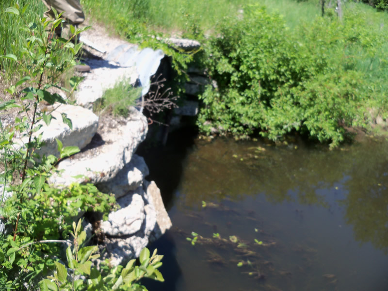
Inlet
Outlet
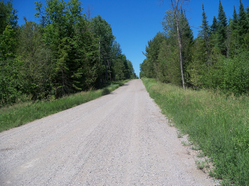
Upstream Conditions
Downstream Conditions
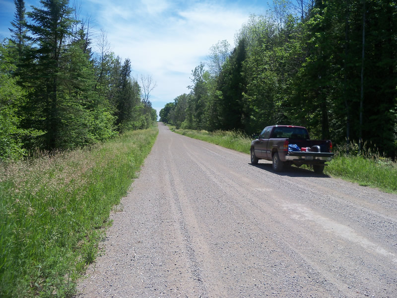
Road Approach - Left
Road Approach - Right
Crossing Information
Type of Crossing: culvert(s)
Number of Structures: 1
Structure Shape: Round
Inlet Type: Projecting
Outlet Type: At Stream Grade
Structure Material: Metal
Structure Substrate: None
General Conditions: Fair
Structure Interior: corrugated
Dimensions of Structure: Length 42 ft.
, Width 8 ft.
, Height 8 ft.
Structure is NOT Perched
Structure Inlet
Water Depth: 3 ft.
Embedded Depth of Structure: 0 ft.
Water Velocity*: 0.2 ft./sec.
Structure Outlet
Water Depth: 3 ft.
Embedded Depth of Structure: 0 ft.
Water Velocity*: 0.1 ft./sec.
*Water Velocities were measured at the Surface
(with Float Test)
Stream Information
Stream Flow: Less than Bankfull
Scour Pool: Length 70 ft.
, Width 56.6 ft.
, Depth 6 ft.
Upstream Pond: Length 30 ft.
, Width 31.5 ft.
, Depth 5 ft.
Riffle Information
Water Depth: 0.1 ft.
Bankfull Width: 14 ft.
Wetted Width: 9 ft.
Water Velocity: 0.5 ft./sec.
(Measured with Float Test)
Dominant Substrate: Gravel
Road Information
Gravel
County Road
Road Condition: Fair
Road Width at Culvert: 25 ft.
Location of Low Point: At Stream
Runoff Path: Roadway
Embankments
Upstream
Fill Depth: 0.4 ft.
Slope: More than 1:2
Downstream
Fill Depth: 0.4 ft.
Slope: More than 1:2
Approaches
Left Approach
Length: 1000 ft.
Slope: 1% to 5%
Vegetation: Heavy
LS Factor: 0.57
Erosion: 3.9256 tons/year
Right Approach
Length: 613.1 ft.
Slope: 1% to 5%
Vegetation: Heavy
LS Factor: 0.522
Erosion: 2.204 tons/year
Erosion Information
Total Erosion at Crossing: 6.1307 tons/year
Extent of Erosion: Minor
Erosion is occurring and corrective actions can be installed to address the problem.
Location of Erosion | Erosion Dimensions | Eroded Material | Material Eroded | Total Erosion | ||
facing downstream | Length | Width | Depth | Reaching Stream? | (tons/year) | |
Right Downtream Ditch |
2 ft. |
3.5 ft. |
0.5 ft. |
no |
Sand |
0.0011 |
Summary Information
Fish Passability 0.5
Erosion is an area of concern for this site.
Yes, there is a large scour pool and an upstream pond. Also there is some erosion off the road along the top of culverts.
A future visit to this site is recommended. To further evaluate the upstream pond, scour pool, and erosion.
These non-native species were observerd at this site: Spotted Knapweed, Sweet Clover, honeysuckle
�