Road Stream Crossing Site AUS_PR068
Au Sable River Watershed, Ponded Surface Drain
Fowler Rd
Gustin Twp,
Alcona County
Information collected by:
Site Location
GPS Coordinates: 44.62705
, -83.41324
T26N
R08E
Sec 24,25
Owned by Private
Fish Passability 0.9
Structure is NOT Perched
Total Erosion: 0.1626 tons/year
Severity: Minor
Year Inventoried: 2012
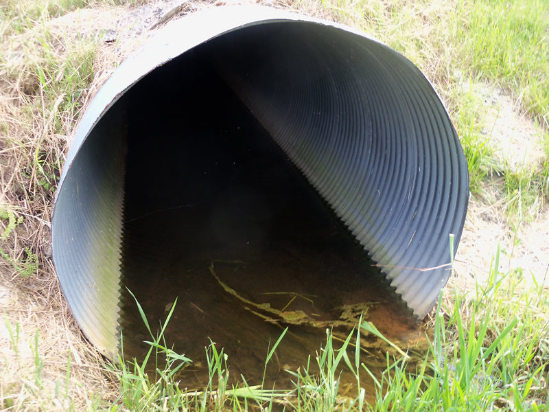
Inlet
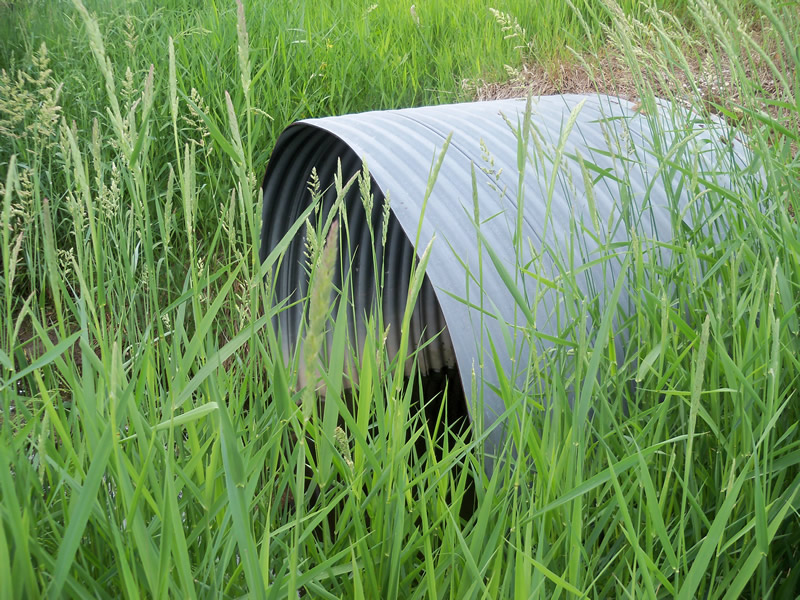
Outlet
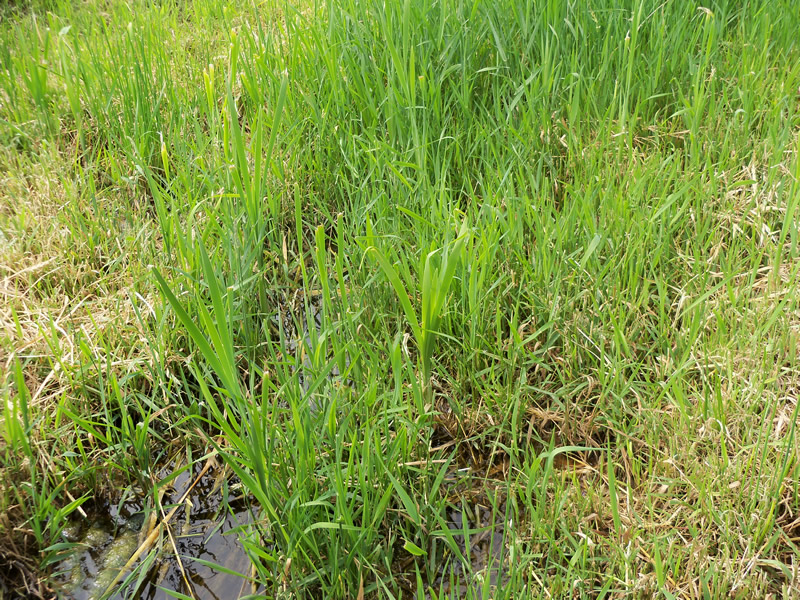
Upstream Conditions
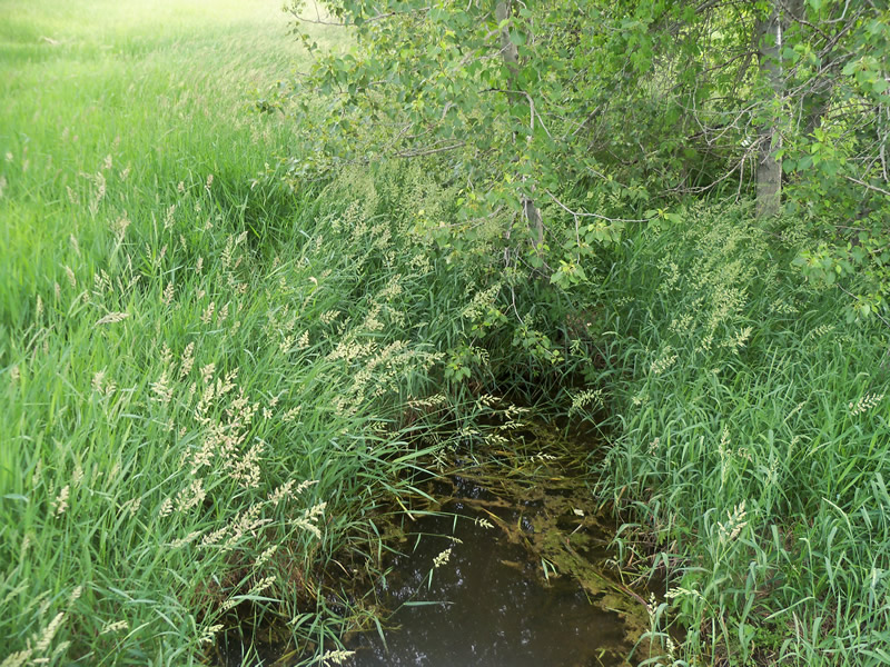
Downstream Conditions

Road Approach - Left
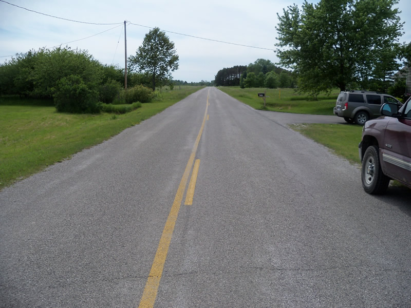
Road Approach - Right
Crossing Information
Type of Crossing: culvert(s)
Number of Structures: 1
Structure Shape: Round
Inlet Type: Projecting
Outlet Type: At Stream Grade
Structure Material: Metal
Structure Substrate: Mixture
General Conditions: Good
Structure Interior: corrugated
Dimensions of Structure: Length 60 ft.
, Width 5 ft.
, Height 5 ft.
Structure is NOT Perched
Structure Inlet
Water Depth: 0.4 ft.
Embedded Depth of Structure: 0 ft.
Water Velocity*: 0.1 ft./sec.
Structure Outlet
Water Depth: 1.2 ft.
Embedded Depth of Structure: 0 ft.
Water Velocity*: 0 ft./sec.
*Water Velocities were measured at the Surface
(with Meter)
Additional Comments
There is a large pond around 100 feet upstream. It may have some eurasian watermilfoil. The pond is held back by a private dam.
Stream Information
Stream Flow: Less than Bankfull
Scour Pool: Length 8.8 ft.
, Width 8 ft.
, Depth 0.7 ft.
Upstream Pond: Length 0 ft.
, Width 0 ft.
, Depth 0 ft.
Riffle Information
Water Depth: 0.5 ft.
Bankfull Width: 8.4 ft.
Wetted Width: 3.4 ft.
Water Velocity: 0.2 ft./sec.
(Measured with Float Test)
Dominant Substrate: Organics
Road Information
Paved
County Road
Road Condition: Fair
Road Width at Culvert: 21 ft.
Location of Low Point: Other
Runoff Path: Roadway
Embankments
Upstream
Fill Depth: 0.7 ft.
Slope: More than 1:2
Downstream
Fill Depth: 1.3 ft.
Slope: More than 1:2
Approaches
Left Approach
Length: 473.5 ft.
Slope: 1% to 5%
Vegetation: Heavy
LS Factor: 0.495
Erosion: 0.1626 tons/year
Right Approach
Length: 0 ft.
Slope: Less Than 1%
Vegetation: Heavy
LS Factor: 0.05
Erosion: 0 tons/year
Erosion Information
Total Erosion at Crossing: 0.1626 tons/year
Summary Information
Fish Passability 0.9
These non-native species were observerd at this site: Spotted Knapweed, Sweet Clover, Reed Canarygrass?
�