Road Stream Crossing Site AUS_PR011
Au Sable River Watershed, Van Etten Creek
Barlow Rd
Harrisville,
Alcona County
Information collected by:
Site Location
GPS Coordinates: 44.60396
, -83.40254
T26N
R09E
Sec 31
Owned by Private
Fish Passability 1
Structure is NOT Perched
Total Erosion: 5.2396 tons/year
Severity: Severe
Year Inventoried: 2012
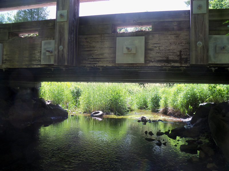
Inlet
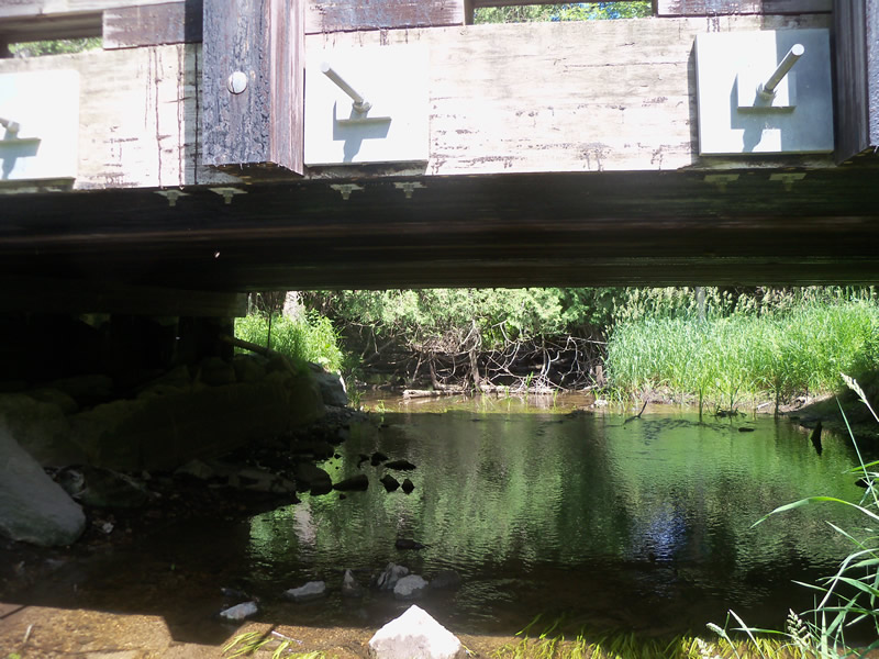
Outlet
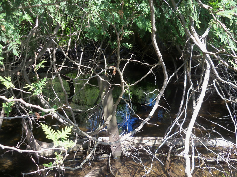
Upstream Conditions
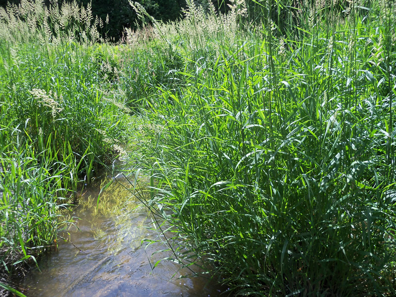
Downstream Conditions
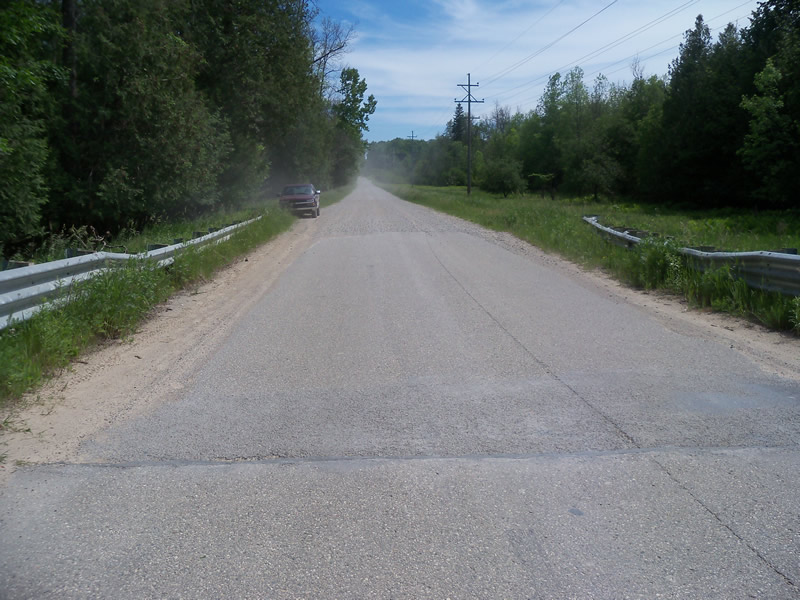
Road Approach - Left
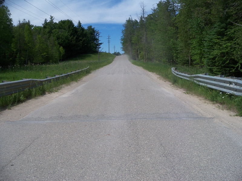
Road Approach - Right
Crossing Information
Type of Crossing: Bridge
Structure Shape: Open Bottom Square/Rectangle
Inlet Type: Other
Outlet Type: Outlet Apron
Structure Material: Wood
Structure Substrate: Mixture
General Conditions: Fair
Structure Interior: smooth
Dimensions of Structure: Length 27 ft.
, Width 36.5 ft.
, Height 5.8 ft.
Structure is NOT Perched
Structure Inlet
Water Depth: 0.3 ft.
Embedded Depth of Structure: 0 ft.
Water Velocity*: 0.6 ft./sec.
Structure Outlet
Water Depth: 0.8 ft.
Embedded Depth of Structure: 0 ft.
Water Velocity*: 1.6 ft./sec.
*Water Velocities were measured at the Surface
(with Meter)
Stream Information
Stream Flow: Less than Bankfull
Scour Pool: Length 0 ft.
, Width 0 ft.
, Depth 0 ft.
Upstream Pond: Length 0 ft.
, Width 0 ft.
, Depth 0 ft.
Riffle Information
Water Depth: 1 ft.
Bankfull Width: 21 ft.
Wetted Width: 17 ft.
Water Velocity: 0.8 ft./sec.
(Measured with Meter)
Dominant Substrate: Sand
Road Information
Gravel
County Road
Road Condition: Fair
Road Width at Culvert: 21 ft.
Location of Low Point: At Stream
Runoff Path: Roadway
Embankments
Upstream
Fill Depth: 1.5 ft.
Slope: Vertical
Downstream
Fill Depth: 1.5 ft.
Slope: Vertical
Approaches
Left Approach
Length: 1000 ft.
Slope: 1% to 5%
Vegetation: Heavy
LS Factor: 0.57
Erosion: 3.2975 tons/year
Right Approach
Length: 638.5 ft.
Slope: 1% to 5%
Vegetation: Heavy
LS Factor: 0.526
Erosion: 1.9421 tons/year
Erosion Information
Total Erosion at Crossing: 5.2396 tons/year
Summary Information
Fish Passability 1
These non-native species were observerd at this site: Spotted Knapweed, Reed Canarygrass?
�