Road Stream Crossing Site AUS_PR008
Au Sable River Watershed, Van Etten Creek
Dellar Rd
Harrisville,
Alcona County
Information collected by:
Site Location
GPS Coordinates: 44.62023
, -83.37059
T26N
R09E
Sec 29
Owned by Private
Fish Passability 0.5
Structure is NOT Perched
Total Erosion: 0.5049 tons/year
Severity: Moderate
Year Inventoried: 2012
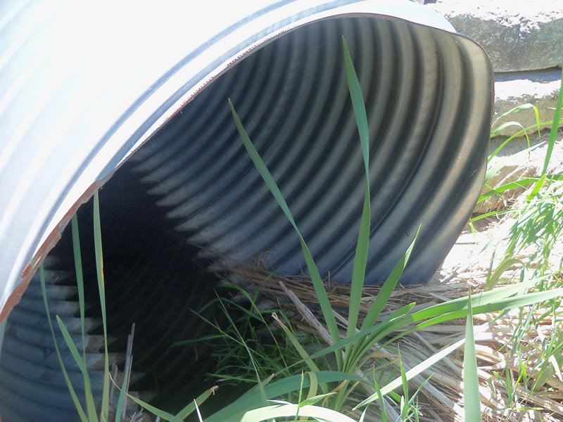
Inlet
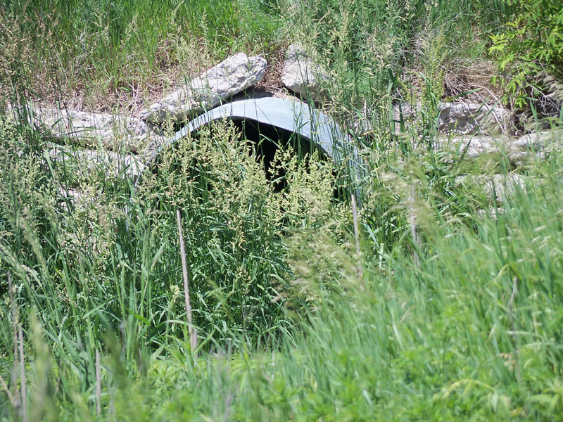
Outlet
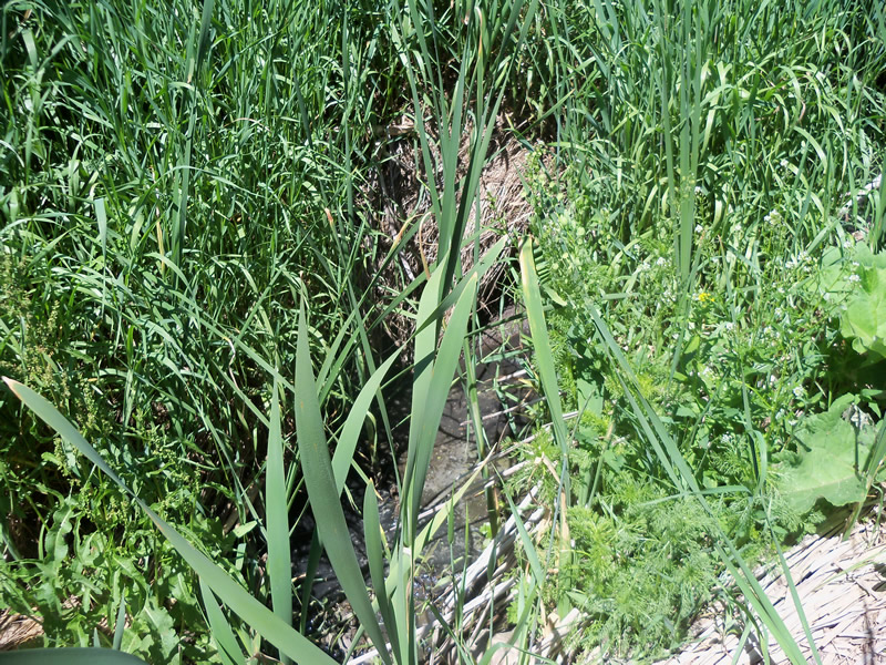
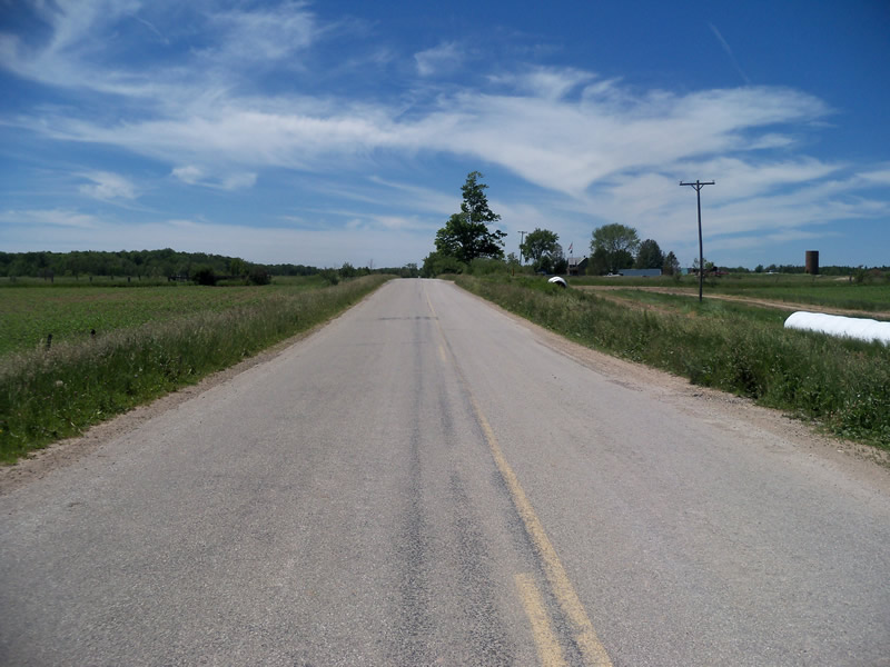
Upstream Conditions
Downstream Conditions
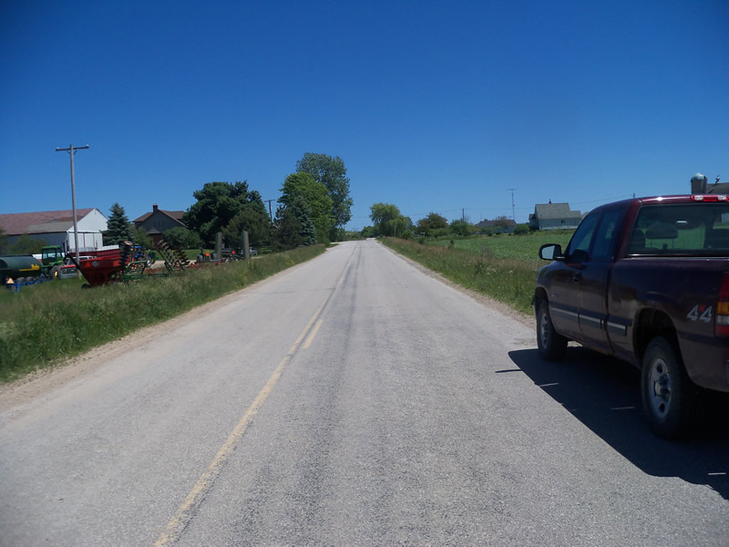
Road Approach - Left
Road Approach - Right
Crossing Information
Type of Crossing: culvert(s)
Number of Structures: 1
Structure Shape: Round
Inlet Type: Projecting
Outlet Type: At Stream Grade
Structure Material: Metal
Structure Substrate: None
General Conditions: Good
Structure Interior: corrugated
Dimensions of Structure: Length 55 ft.
, Width 4 ft.
, Height 4 ft.
Structure is NOT Perched
Structure Inlet
Water Depth: 0.1 ft.
Embedded Depth of Structure: 0 ft.
Water Velocity*: 0 ft./sec.
Structure Outlet
Water Depth: 0.2 ft.
Embedded Depth of Structure: 0 ft.
Water Velocity*: 0 ft./sec.
*Water Velocities were measured at the Surface
(with Float Test)
Additional Comments
Water is cloudy, smells like cow manure, and is full of sediment, duckweed, and other vegetation. The stream goes right past a dariy farm on the upstream side and is surrounded by agricultural fields on other sides. There is a narrow stip of grassy vegetation between stream and fields.
Stream Information
Stream Flow: Less than Bankfull
Scour Pool: Length 50 ft.
, Width 40.2 ft.
, Depth 2 ft.
Upstream Pond: Length 0 ft.
, Width 0 ft.
, Depth 0 ft.
Riffle Information
Water Depth: 1 ft.
Bankfull Width: 40 ft.
Wetted Width: 20 ft.
Water Velocity: 0 ft./sec.
(Measured with Float Test)
Dominant Substrate: Organics
Road Information
Paved
County Road
Road Condition: Fair
Road Width at Culvert: 26 ft.
Location of Low Point: At Stream
Runoff Path: Roadway
Embankments
Upstream
Fill Depth: 2.4 ft.
Slope: More than 1:2
Downstream
Fill Depth: 2.1 ft.
Slope: More than 1:2
Approaches
Left Approach
Length: 630.1 ft.
Slope: 1% to 5%
Vegetation: Heavy
LS Factor: 0.525
Erosion: 0.2841 tons/year
Right Approach
Length: 511.6 ft.
Slope: 1% to 5%
Vegetation: Heavy
LS Factor: 0.502
Erosion: 0.2209 tons/year
Erosion Information
Total Erosion at Crossing: 0.5049 tons/year
Summary Information
Fish Passability 0.5
A future visit to this site is recommended. The water quality seems very poor, and there is a dariy operation near the upstream side. This could be affecting the water. The crossing itself is okay though.
These non-native species were observerd at this site: Spotted Knapweed, Autumn Olive, narrow leaved cattail, Sweet Clover
�