Road Stream Crossing Site AUS_PR049
Au Sable River Watershed, East Branch Pine River
McConnell Rd
Hawes Twp,
Alcona County
Information collected by:
Site Location
GPS Coordinates: 44.69061
, -83.44471
T27N
R08E
Sec 34,35
Owned by Private
Fish Passability 0
Structure is NOT Perched
Total Erosion: 9.8936 tons/year
Severity: Severe
Year Inventoried: 2012
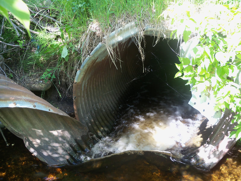
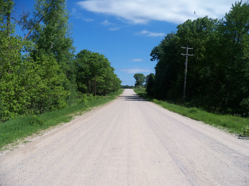
Inlet
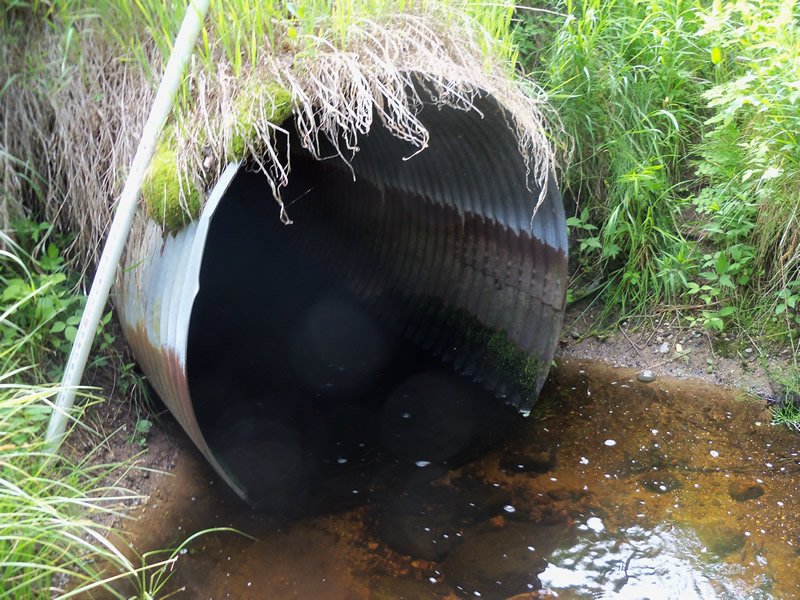
Outlet
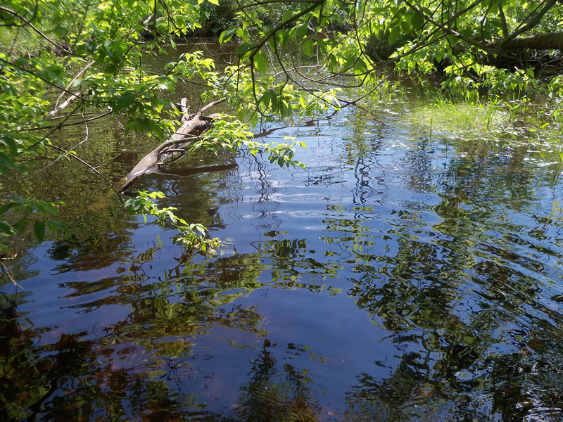
Upstream Conditions
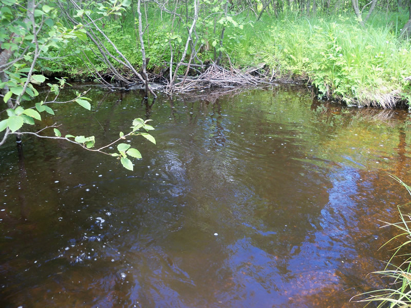
Downstream Conditions
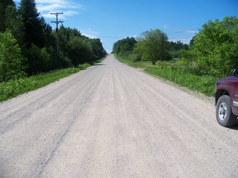
Road Approach - Left
Road Approach - Right
Crossing Information
Type of Crossing: culvert(s)
Number of Structures: 1
Structure Shape: Ellipse
Inlet Type: Projecting
Outlet Type: At Stream Grade
Structure Material: Metal
Structure Substrate: None
General Conditions: Poor
Structure Interior: corrugated
Structure is Rusted through
Dimensions of Structure: Length 45.5 ft.
, Width 3.7 ft.
, Height 0 ft.
Percentage Crushed:
Inlet: 26% to 50%
Outlet: 0%
In Pipe: 0%
Structure is NOT Perched
Structure Inlet
Water Depth: 0.3 ft.
Embedded Depth of Structure: 0 ft.
Water Velocity*: 4.5 ft./sec.
Structure Outlet
Water Depth: 0.6 ft.
Embedded Depth of Structure: 0 ft.
Water Velocity*: 3 ft./sec.
*Water Velocities were measured at the Surface
(with Meter)
Stream Information
Stream Flow: Less than Bankfull
Scour Pool: Length 23.5 ft.
, Width 16 ft.
, Depth 2 ft.
Upstream Pond: Length 45 ft.
, Width 54 ft.
, Depth 2.2 ft.
Riffle Information
Water Depth: 0.3 ft.
Bankfull Width: 11 ft.
Wetted Width: 7 ft.
Water Velocity: 1.4 ft./sec.
(Measured with Meter)
Dominant Substrate: Gravel
Road Information
Gravel
County Road
Road Condition: Good
Road Width at Culvert: 31.5 ft.
Location of Low Point: At Stream
Runoff Path: Roadway
Embankments
Upstream
Fill Depth: 4.5 ft.
Slope: 1:2
Downstream
Fill Depth: 5.2 ft.
Slope: More than 1:2
Approaches
Left Approach
Length: 1000 ft.
Slope: 1% to 5%
Vegetation: Heavy
LS Factor: 0.57
Erosion: 4.9463 tons/year
Right Approach
Length: 1000 ft.
Slope: 1% to 5%
Vegetation: Heavy
LS Factor: 0.57
Erosion: 4.9463 tons/year
Erosion Information
Total Erosion at Crossing: 9.8936 tons/year
Extent of Erosion: Minor
Erosion is occurring and corrective actions can be installed to address the problem.
Location of Erosion | Erosion Dimensions | Eroded Material | Material Eroded | Total Erosion | ||
facing downstream | Length | Width | Depth | Reaching Stream? | (tons/year) | |
Right Upstream Embankment |
4.5 ft. |
1 ft. |
0.2 ft. |
no |
Sand |
0.001 |
Summary Information
Fish Passability 0
A future visit to this site is recommended. The culvert is in very bad condition, and there is minor erosion.
These non-native species were observerd at this site: Wild parsnip, Spotted Knapweed, Sweet Clover
�