Road Stream Crossing Site AUS_IS001
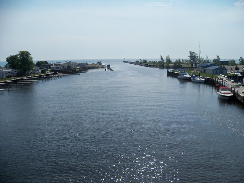
Au Sable River Watershed, Au Sable River
US-23
AuSable Twp,
Iosco County
Information collected by:
Site Location
GPS Coordinates: 44.4071
, -83.32472
T23N
R09E
Sec 10
Owned by Private
Structure is NOT Perched
Total Erosion: 0 tons/year
Severity: Minor
Year Inventoried: 2013
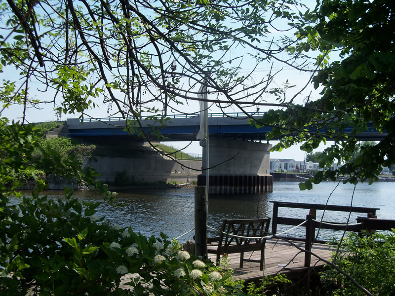
Inlet
Outlet
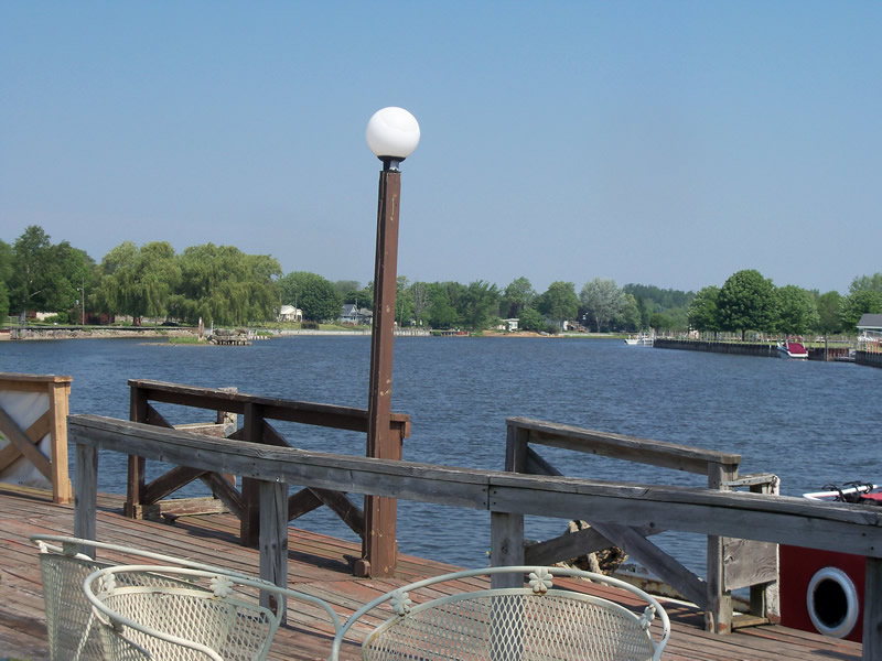
Upstream Conditions
Downstream Conditions
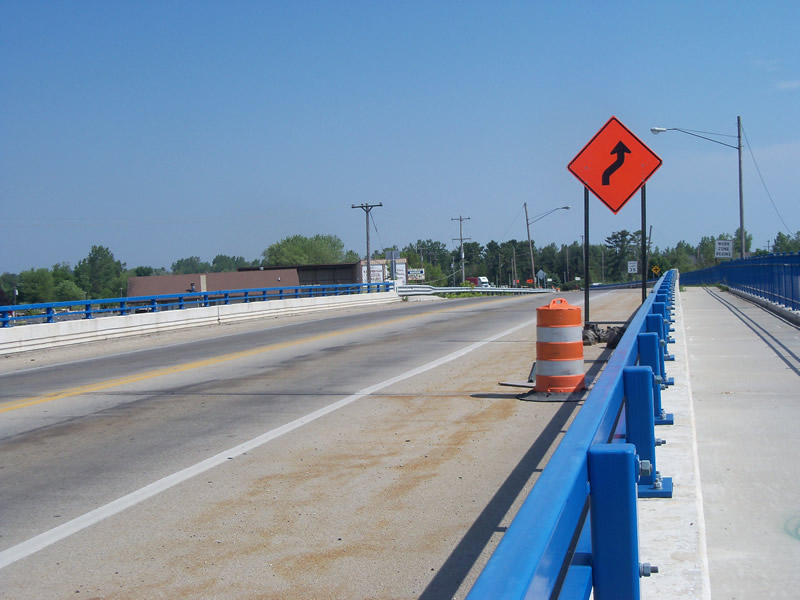
Road Approach - Left
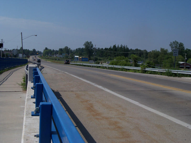
Road Approach - Right
Crossing Information
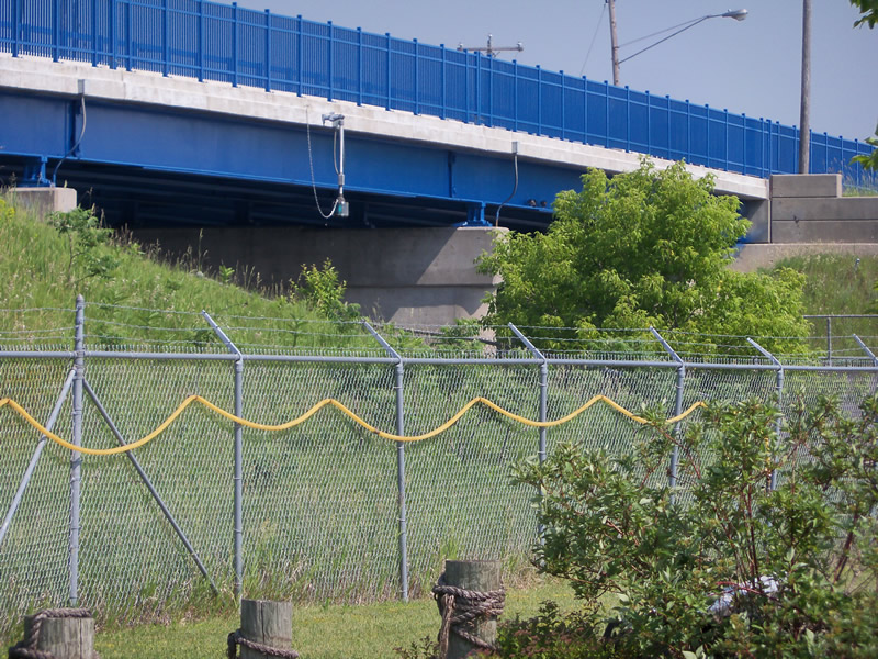
Type of Crossing: Bridge
Structure Shape: Open Bottom Square/Rectangle
Inlet Type: Wingwall 10-30 Degree
Outlet Type: Other
Structure Material: Concrete
Structure Substrate: Mixture
General Conditions: Good
Structure Interior: smooth
Dimensions of Structure: Length 54 ft.
, Width 232 ft.
Structure is NOT Perched
Embedded Depth of Structure: 0 ft.
Embedded Depth of Structure: 0 ft.
Additional Comments
This is the mouth of the Au Sable River near Lake Huron. The structure height is tall, the water is deep, and the velocity is pretty fast. We couldn't get these measurements.
Stream Information
Stream Flow: Less than Bankfull
Scour Pool: Length 0 ft.
, Width 0 ft.
, Depth 0 ft.
Upstream Pond: Length 0 ft.
, Width 0 ft.
, Depth 0 ft.
Riffle Information
Water Depth: 0 ft.
Bankfull Width: 0 ft.
Wetted Width: 0 ft.
Water Velocity: 0 ft./sec.
Road Information
Paved
Federal Road
Road Condition: Good
Road Width at Culvert: 44 ft.
Location of Low Point: Other
Runoff Path: Roadway
Embankments
Upstream
Fill Depth: 10 ft.
Slope: Vertical
Downstream
Fill Depth: 10 ft.
Slope: Vertical
Approaches
Left Approach
Length: 0 ft.
Slope: Less Than 1%
Vegetation: Heavy
LS Factor: 0.05
Erosion: 0 tons/year
Right Approach
Length: 0 ft.
Slope: Less Than 1%
Vegetation: Heavy
LS Factor: 0.05
Erosion: 0 tons/year
Erosion Information
Total Erosion at Crossing: 0 tons/year
Summary Information
These non-native species were observerd at this site: Sweet Clover, Spotted Knapweed
�