Road Stream Crossing Site AUS_PR070
Au Sable River Watershed, Tributary of East Branch Pine River
Procunier Rd
Gustin Twp,
Alcona County
Information collected by:
Site Location
GPS Coordinates: 44.61279
, -83.4296
T26N
R08E
Sec 26,35
Owned by Private
Fish Passability 0.5
Structure is NOT Perched
Total Erosion: 0.8932 tons/year
Severity: Moderate
Year Inventoried: 2013
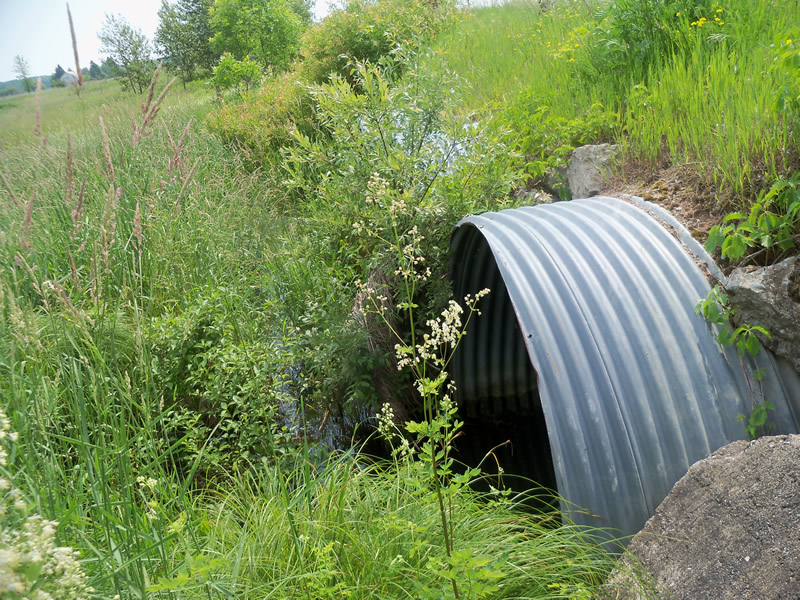
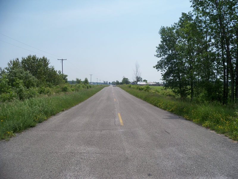
Inlet
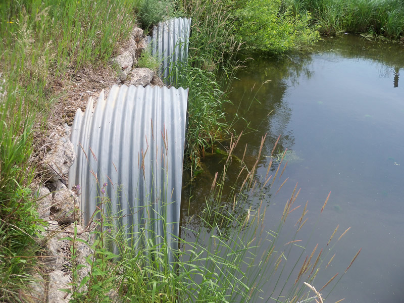
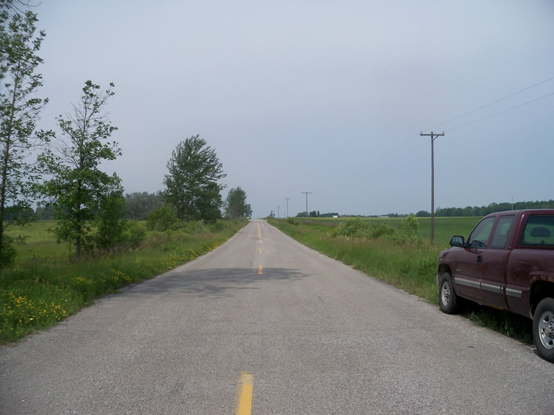
Outlet
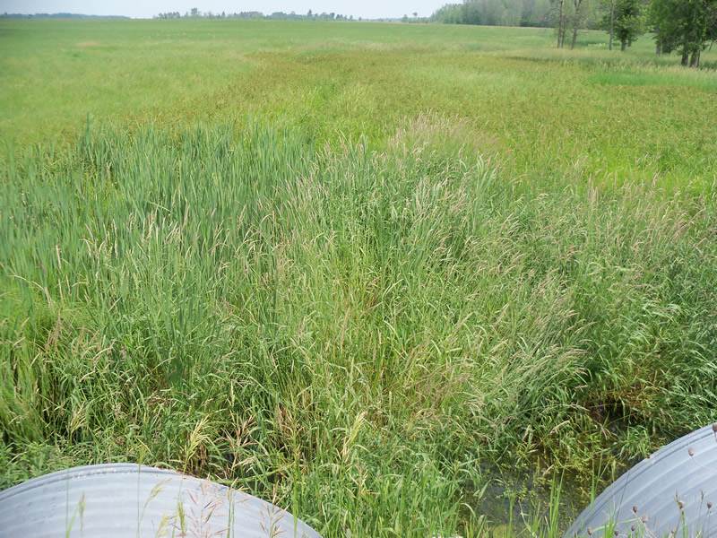
Upstream Conditions
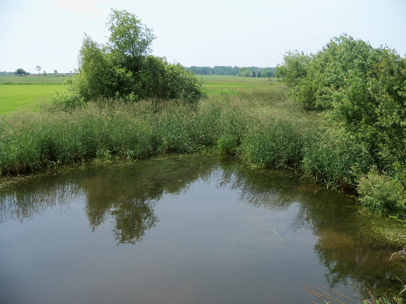
Downstream Conditions
Road Approach - Left
Road Approach - Right
Crossing Information
Type of Crossing: culvert(s)
Number of Structures: 3
Structure Shape: Round
Inlet Type: Projecting
Outlet Type: At Stream Grade
Structure Material: Metal
Structure Substrate: None
General Conditions: Good
Multiple Culverts/Spans | ||||
Culvert/Span | Width | Length | Height | Material |
1 |
5.6 ft. |
56 ft. |
5.6 ft. |
Metal |
2 |
5.6 ft. |
56 ft. |
5.6 ft. |
Metal |
3 |
5.6 ft. |
56 ft. |
5.6 ft. |
Metal |
Structure Interior: corrugated
Dimensions of Structure: Length 56 ft.
, Width 5.6 ft.
, Height 5.6 ft.
Structure is NOT Perched
Structure Inlet
Water Depth: 1.2 ft.
Embedded Depth of Structure: 0 ft.
Water Velocity*: 0 ft./sec.
Structure Outlet
Water Depth: 1.2 ft.
Embedded Depth of Structure: 0 ft.
Water Velocity*: 0 ft./sec.
*Water Velocities were measured at the Surface
(with Float Test)
Additional Comments
We couldn't get to the riffle because of fences on private property.
Stream Information
Stream Flow: Less than Bankfull
Scour Pool: Length 30 ft.
, Width 44 ft.
, Depth 2.5 ft.
Upstream Pond: Length 5 ft.
, Width 30 ft.
, Depth 1.5 ft.
Riffle Information
Water Depth: 0 ft.
Bankfull Width: 0 ft.
Wetted Width: 0 ft.
Water Velocity: 0 ft./sec.
Road Information
Paved
County Road
Road Condition: Good
Road Width at Culvert: 23.7 ft.
Location of Low Point: At Stream
Runoff Path: Roadway
Embankments
Upstream
Fill Depth: 1.2 ft.
Slope: More than 1:2
Downstream
Fill Depth: 1.7 ft.
Slope: More than 1:2
Approaches
Left Approach
Length: 1000 ft.
Slope: 1% to 5%
Vegetation: Heavy
LS Factor: 0.57
Erosion: 0.4466 tons/year
Right Approach
Length: 1000 ft.
Slope: 1% to 5%
Vegetation: Heavy
LS Factor: 0.57
Erosion: 0.4466 tons/year
Erosion Information
Total Erosion at Crossing: 0.8932 tons/year
Summary Information
Fish Passability 0.5
Erosion is an area of concern for this site.
Yes, there is a large scour pool and a small upstream pond.
A future visit to this site is recommended. There is a large scour pool and a small upstream pond. Also to check on water quality.
These non-native species were observerd at this site: Bittersweet Nightshade, Sweet Clover, Spotted Knapweed, Autumn Olive
�