Road Stream Crossing Site AUS_PR220
Au Sable River Watershed, Surface Drain
M-72
Millen Twp,
Alcona County
Information collected by:
Site Location
GPS Coordinates: 44.65488
, -83.55849
T26N
R07E
Sec 11,14
Owned by Private
Fish Passability 0
Perch Height: 0.8 ft.
Total Erosion: 0.6934 tons/year
Severity: Severe
Year Inventoried: 2012
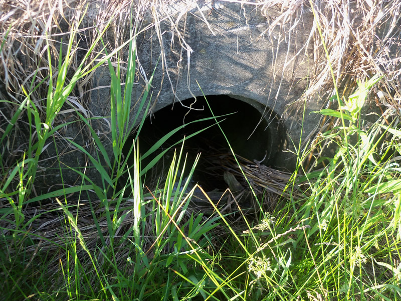
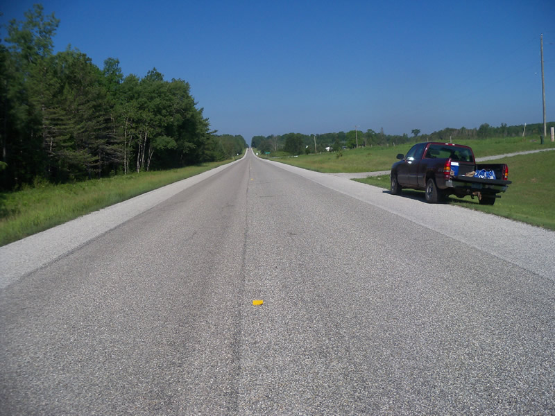
Inlet
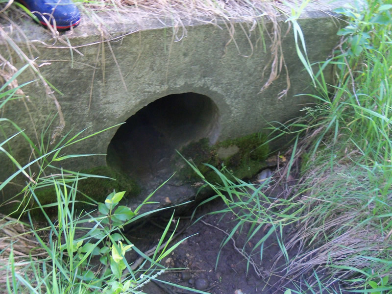
Outlet
Upstream Conditions
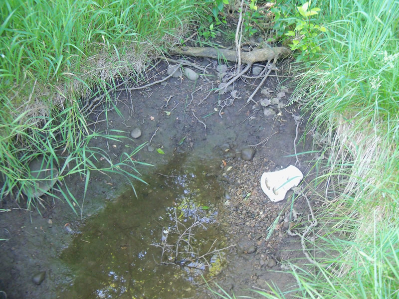
Downstream Conditions
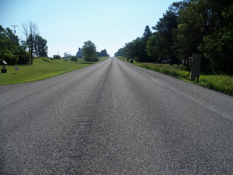
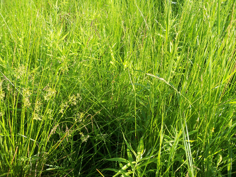
Road Approach - Left
Road Approach - Right
Crossing Information
Type of Crossing: culvert(s)
Number of Structures: 1
Structure Shape: Round
Inlet Type: Headwall
Outlet Type: Freefall into Pool
Structure Material: Concrete
Structure Substrate: None
General Conditions: Good
Structure Interior: smooth
Dimensions of Structure: Length 78.3 ft.
, Width 2 ft.
, Height 2 ft.
Perch Height: 0.8 ft.
Water Depth: 0 ft.
Embedded Depth of Structure: 0 ft.
Water Velocity*: 0 ft./sec.
Water Depth: 0 ft.
Embedded Depth of Structure: 0 ft.
Water Velocity*: 0 ft./sec.
Additional Comments
No water in culvert
Stream Information
Stream Flow: None
Scour Pool: Length 4.7 ft.
, Width 3 ft.
, Depth 0.1 ft.
Upstream Pond: Length 0 ft.
, Width 0 ft.
, Depth 0 ft.
Riffle Information
Water Depth: 0 ft.
Bankfull Width: 0 ft.
Wetted Width: 0 ft.
Water Velocity: 0 ft./sec.
Road Information
Paved
State Road
Road Condition: Good
Road Width at Culvert: 36.8 ft.
Location of Low Point: Other
Runoff Path: Ditch
Embankments
Upstream
Fill Depth: 3.1 ft.
Slope: More than 1:2
Downstream
Fill Depth: 5.2 ft.
Slope: More than 1:2
Approaches
Left Approach
Length: 1000 ft.
Slope: 1% to 5%
Vegetation: Heavy
LS Factor: 0.57
Erosion: 0.6934 tons/year
Right Approach
Length: 0 ft.
Slope: Less Than 1%
Vegetation: Heavy
LS Factor: 0.05
Erosion: 0 tons/year
Erosion Information
Total Erosion at Crossing: 0.6934 tons/year
Summary Information
Fish Passability 0
A future visit to this site is recommended. To see if there is a stream at other times such that culvert becomes significant barrier.
These non-native species were observerd at this site: Autumn Olive
�