Road Stream Crossing Site AUS_PR218
Au Sable River Watershed, Surface Drain
F-30
Greenbush Twp,
Alcona County
Information collected by:
Site Location
GPS Coordinates: 44.59103
, -83.39226
T25N
R09E
Sec 6
Owned by Private
Fish Passability 0.5
Structure is NOT Perched
Severity: Moderate
Year Inventoried: 2012
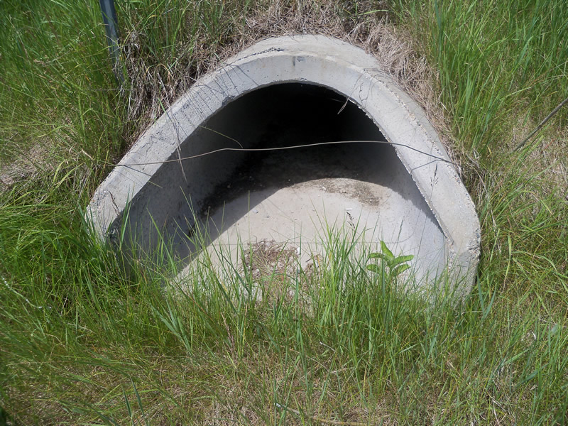
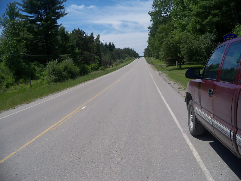
Inlet
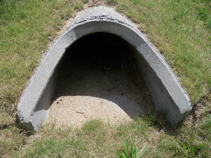
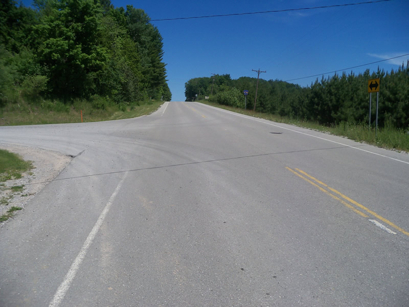
Outlet
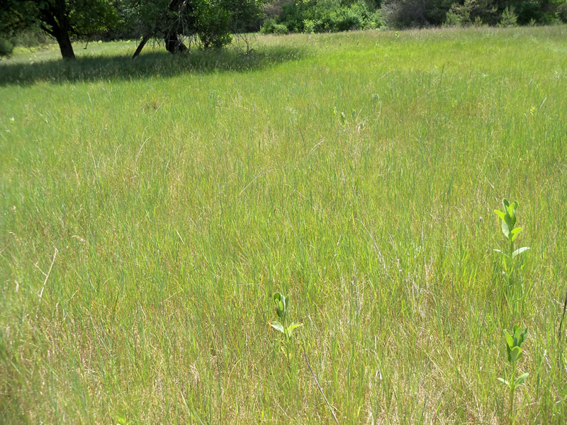
Upstream Conditions
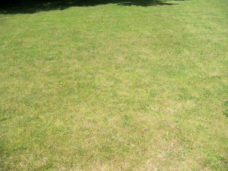
Downstream Conditions
Road Approach - Left
Road Approach - Right
Crossing Information
Type of Crossing: culvert(s)
Number of Structures: 1
Structure Shape: Ellipse
Inlet Type: Apron
Outlet Type: Outlet Apron
Structure Material: Concrete
Structure Substrate: None
General Conditions: Good
Structure Interior: smooth
Dimensions of Structure: Length 73 ft.
, Width 2.5 ft.
, Height 1.5 ft.
Structure is NOT Perched
Water Depth: 0 ft.
Embedded Depth of Structure: 0 ft.
Water Velocity*: 0 ft./sec.
Water Depth: 0 ft.
Embedded Depth of Structure: 0 ft.
Water Velocity*: 0 ft./sec.
Additional Comments
Outlet(?) runs into somebodies yard.
Stream Information
Stream Flow: None
Scour Pool: Length 0 ft.
, Width 0 ft.
, Depth 0 ft.
Upstream Pond: Length 0 ft.
, Width 0 ft.
, Depth 0 ft.
Riffle Information
Water Depth: 0 ft.
Bankfull Width: 0 ft.
Wetted Width: 0 ft.
Water Velocity: 0 ft./sec.
Road Information
Paved
County Road
Road Condition: Good
Location of Low Point: Other
Runoff Path: Ditch
Embankments
Upstream
Fill Depth: 3.6 ft.
Slope: More than 1:2
Downstream
Fill Depth: 3.3 ft.
Slope: More than 1:2
Length: 0 ft.
Slope: Less Than 1%
Vegetation: Heavy
Length: 548 ft.
Slope: 1% to 5%
Vegetation: Heavy
Erosion Information
Summary Information
Fish Passability 0.5
These non-native species were observerd at this site: Spotted Knapweed
�