Road Stream Crossing Site AUS_PR217
Au Sable River Watershed, Surface Drain
MacGregor Rd
Harrisville,
Alcona County
Information collected by:
Site Location
GPS Coordinates: 44.64681
, -83.36244
T26N
R09E
Sec 29
Owned by Private
Fish Passability 0
Perch Height: 0.3 ft.
Total Erosion: 0.1501 tons/year
Severity: Severe
Year Inventoried: 2012
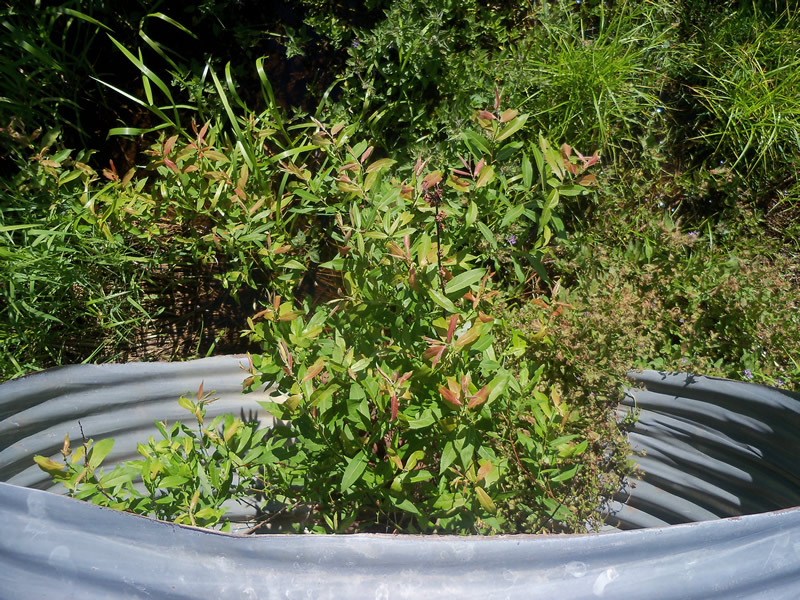
Inlet
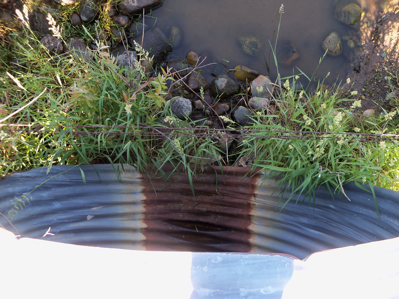
Outlet
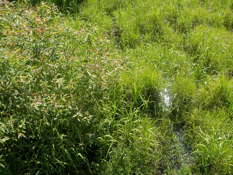
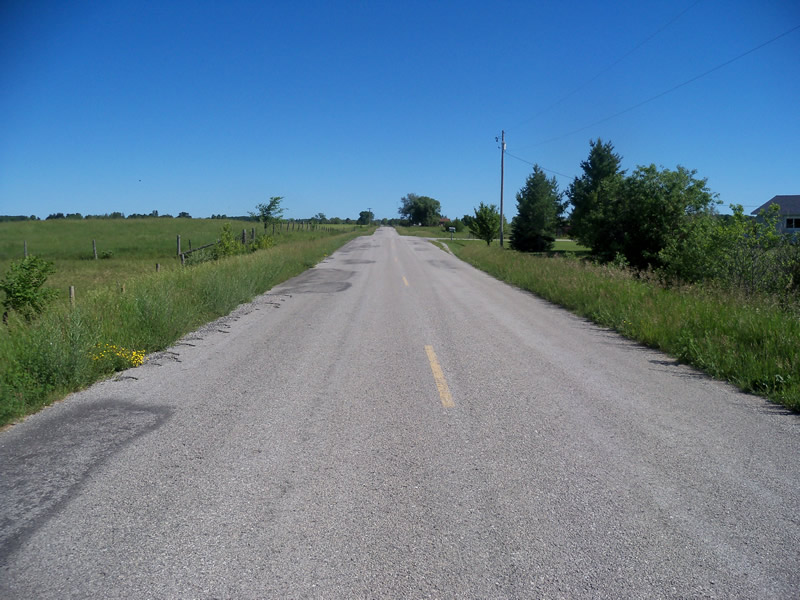
Upstream Conditions
Downstream Conditions
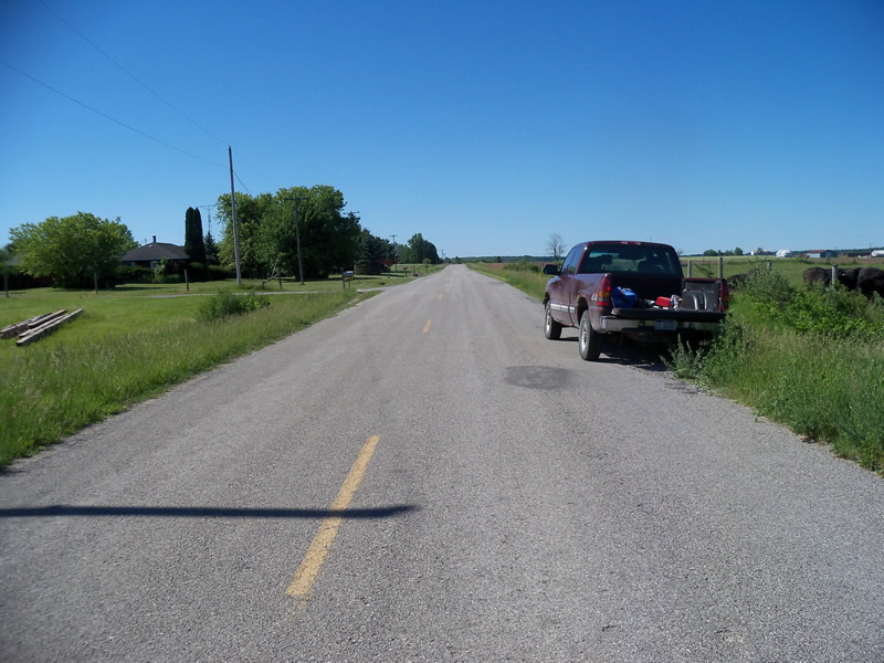
Road Approach - Left
Road Approach - Right
Crossing Information
Type of Crossing: culvert(s)
Number of Structures: 1
Structure Shape: Round
Inlet Type: Projecting
Outlet Type: Freefall onto Riprap
Structure Material: Metal
Structure Substrate: None
General Conditions: New
Structure Interior: corrugated
Dimensions of Structure: Length 63 ft.
, Width 5.5 ft.
, Height 5.5 ft.
Perch Height: 0.3 ft.
Water Depth: 0 ft.
Embedded Depth of Structure: 0 ft.
Water Velocity*: 0 ft./sec.
Water Depth: 0 ft.
Embedded Depth of Structure: 0 ft.
Water Velocity*: 0 ft./sec.
*Water Velocities were measured at the Surface
(with Meter)
Additional Comments
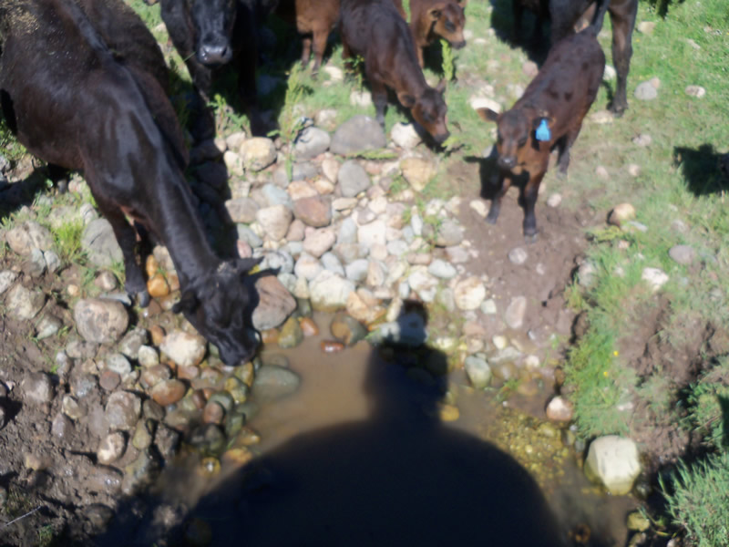
There are cows in a pasture around the outlet, drinking out of the water. This side of the stream is a pool, may have been dug out, and it doesn't flow beyond the pool (stream ends there). There is no water in the culvert.
Stream Information
Stream Flow: None
Scour Pool: Length 10 ft.
, Width 8 ft.
, Depth 0.5 ft.
Upstream Pond: Length 0 ft.
, Width 0 ft.
, Depth 0 ft.
Riffle Information
Water Depth: 0 ft.
Bankfull Width: 0 ft.
Wetted Width: 0 ft.
Water Velocity: 0 ft./sec.
Road Information
Paved
County Road
Road Condition: Fair
Road Width at Culvert: 23 ft.
Location of Low Point: At Stream
Runoff Path: Roadway
Embankments
Upstream
Fill Depth: 0.2 ft.
Slope: More than 1:2
Downstream
Fill Depth: 0.3 ft.
Slope: More than 1:2
Approaches
Left Approach
Length: 1000 ft.
Slope: Less Than 1%
Vegetation: Heavy
LS Factor: 0.05
Erosion: 0.038 tons/year
Right Approach
Length: 318 ft.
Slope: 1% to 5%
Vegetation: Heavy
LS Factor: 0.464
Erosion: 0.1121 tons/year
Erosion Information
Total Erosion at Crossing: 0.1501 tons/year
Summary Information
Fish Passability 0
Fish Passage is an area of concern for this site.
Yes, the culvert is set above the water level on both sides, so it isn't connecting the stream currently, creating a fish passage barrier.
A future visit to this site is recommended. To see if the culvert connects the stream at other times; to confirm which side is the inlet; to evaluate effects of cows accessing the stream water and getting in it.
These non-native species were observerd at this site: Spotted Knapweed, Sweet Clover, Leafy Spurge, Autumn Olive
�