Road Stream Crossing Site AUS_CR106
Au Sable River Watershed, Tributary of North Branch Au Sable River
Burchi Trail
Lovells Twp,
Crawford County
Information collected by:
Site Location
GPS Coordinates: 44.96926
, -84.68189
T28N
R01W
Sec 20
Owned by Private
Fish Passability 0
Structure is NOT Perched
Total Erosion: 0.0228 tons/year
Severity: Severe
Year Inventoried: 2012
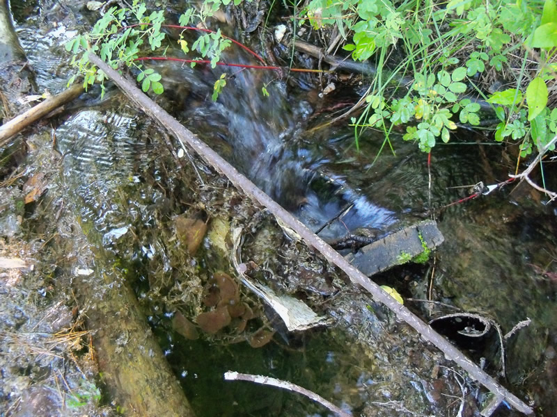
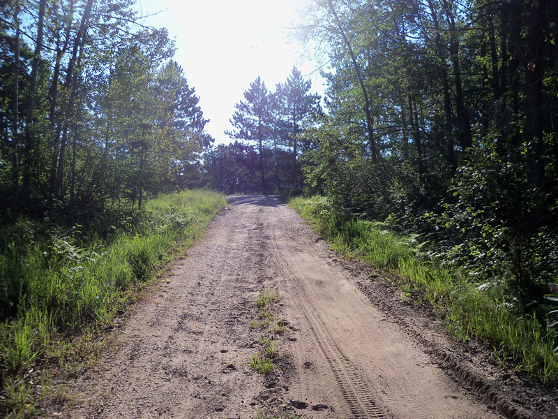
Inlet
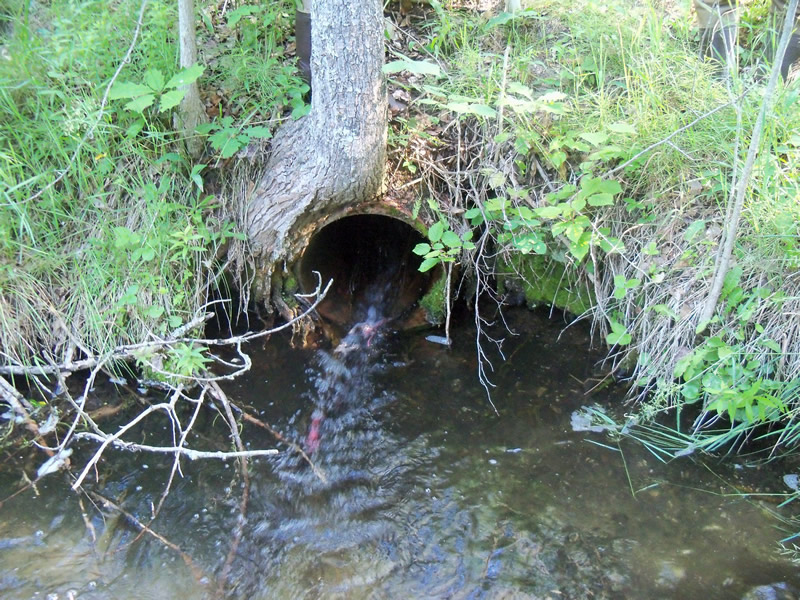
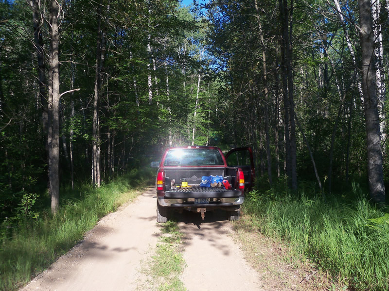
Outlet
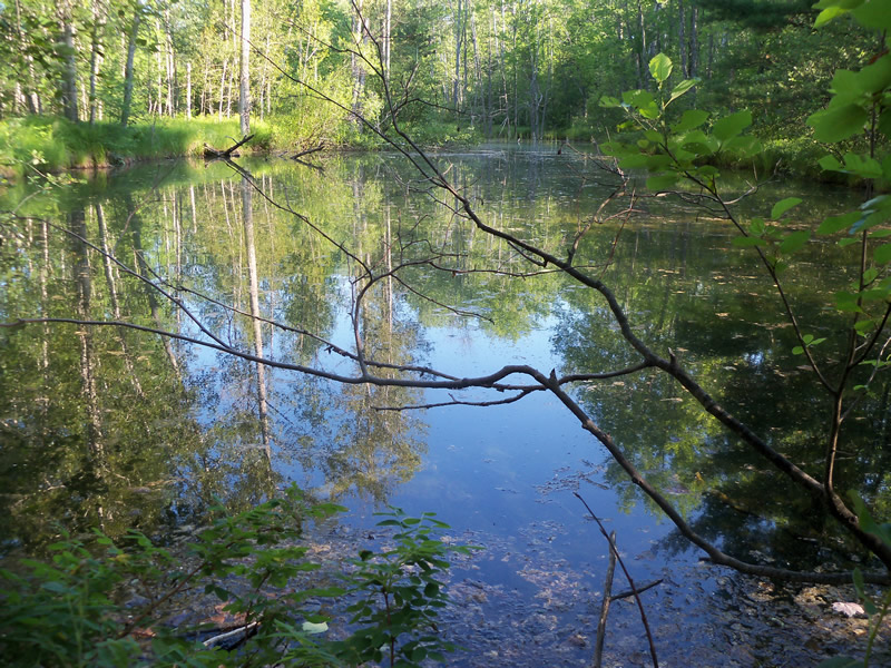
Upstream Conditions
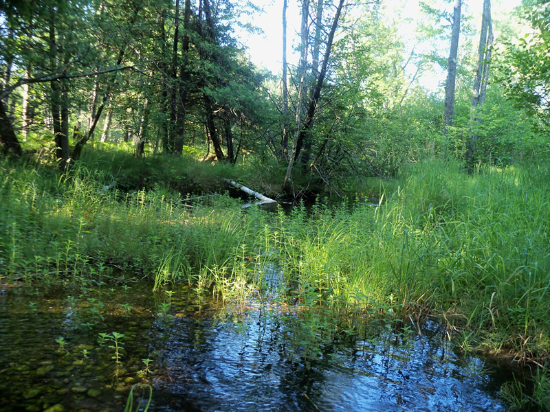
Downstream Conditions
Road Approach - Left
Road Approach - Right
Crossing Information
Type of Crossing: culvert(s)
Number of Structures: 1
Structure Shape: Round
Inlet Type: Trash Rack
Outlet Type: At Stream Grade
Structure Substrate: Mixture
General Conditions: Poor
Structure Interior: smooth
Dimensions of Structure: Length 40 ft.
, Width 1.5 ft.
, Height 1.5 ft.
Percentage Plugged:
Inlet: 26% to 50%
Outlet: 0%
In Pipe: 0%
Structure is NOT Perched
Structure Inlet
Water Depth: 0.6 ft.
Embedded Depth of Structure: 0 ft.
Water Velocity*: 0.9 ft./sec.
Structure Outlet
Water Depth: 0.4 ft.
Embedded Depth of Structure: 0 ft.
Water Velocity*: 4.3 ft./sec.
*Water Velocities were measured at the Surface
(with Meter)
Stream Information
Stream Flow: Less than Bankfull
Scour Pool: Length 19 ft.
, Width 20 ft.
, Depth 1.2 ft.
Upstream Pond: Length 150 ft.
, Width 55 ft.
, Depth 3 ft.
Riffle Information
Water Depth: 0.3 ft.
Bankfull Width: 35 ft.
Wetted Width: 23 ft.
Water Velocity: 0.1 ft./sec.
(Measured with Meter)
Dominant Substrate: Gravel
Road Information
Sand
Private Road
Road Condition: Poor
Road Width at Culvert: 1 ft.
Location of Low Point: Other
Runoff Path: Roadway
Embankments
Upstream
Fill Depth: 4.2 ft.
Slope: More than 1:2
Downstream
Fill Depth: 4.3 ft.
Slope: More than 1:2
Approaches
Left Approach
Length: 16 ft.
Slope: 1% to 5%
Vegetation: Heavy
LS Factor: 0.263
Erosion: 0.0012 tons/year
Right Approach
Length: 0 ft.
Slope: Less Than 1%
Vegetation: Heavy
LS Factor: 0.05
Erosion: 0 tons/year
Erosion Information
Total Erosion at Crossing: 0.0228 tons/year
Extent of Erosion: Moderate
Erosion is occurring and corrective actions can be installed to address the problem.
Location of Erosion | Erosion Dimensions | Eroded Material | Material Eroded | Total Erosion | ||
facing downstream | Length | Width | Depth | Reaching Stream? | (tons/year) | |
Left Downstream Ditch |
7 ft. |
5 ft. |
0.5 ft. |
yes |
Loam |
0.0216 |
Summary Information
Fish Passability 0
Erosion is an area of concern for this site.
Yes, large upstream pond, scour pool, and erosion in ditch.
A future visit to this site is recommended. Because of the the upstream pond, scour pool, and erosion.
These non-native species were observerd at this site: Canada Thistle, Spotted Knapweed, Sweet Clover
�