Road Stream Crossing Site AUS_CR105
Au Sable River Watershed, Tributary of North Branch Au Sable River
Knox Trail
Lovells twp,
Crawford County
Information collected by:
Site Location
GPS Coordinates: 44.96926
, -84.68189
T28N
R01W
Sec 29
Owned by Private
Fish Passability 0
Structure is NOT Perched
Total Erosion: 0.263 tons/year
Severity: Severe
Year Inventoried: 2012
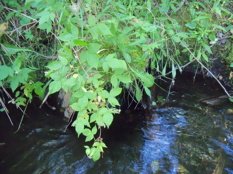
Inlet
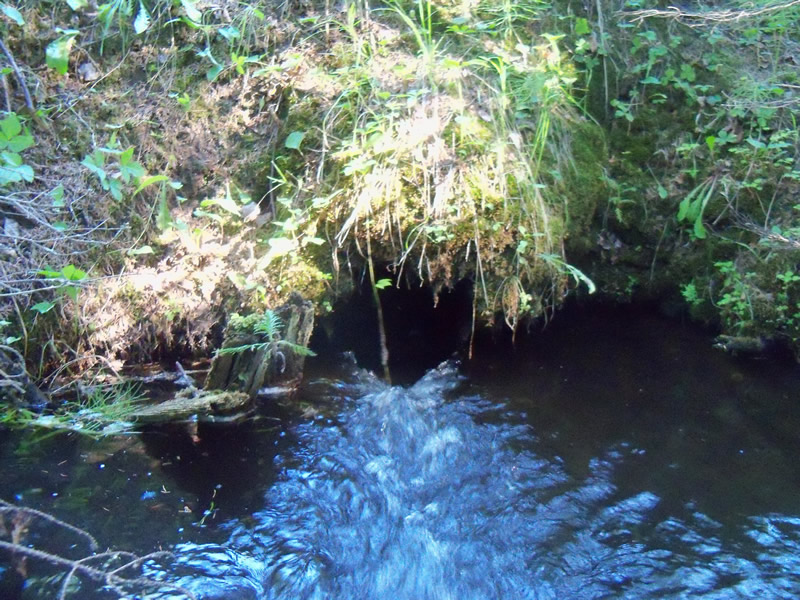
Outlet
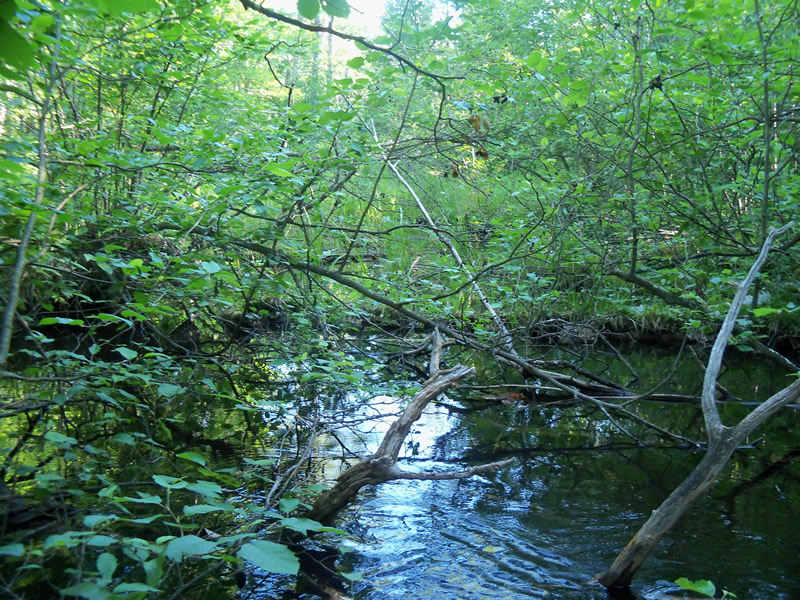
Upstream Conditions
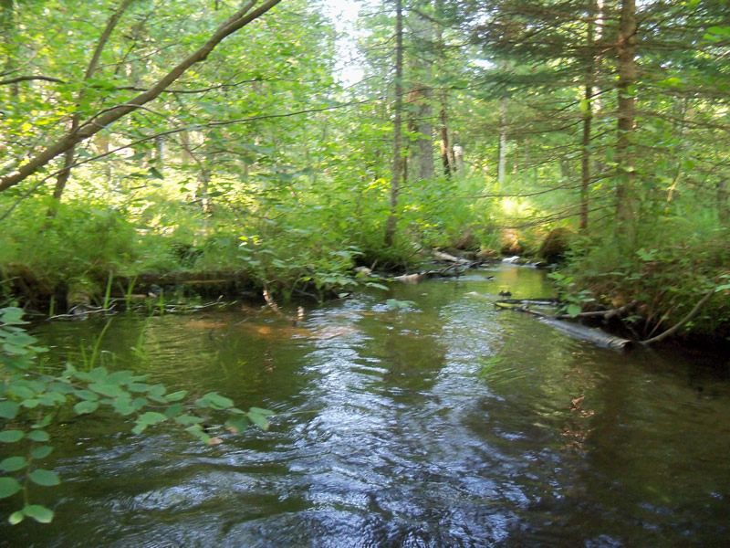
Downstream Conditions
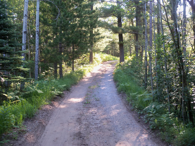
Road Approach - Left
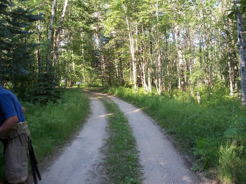
Road Approach - Right
Crossing Information
Type of Crossing: culvert(s)
Number of Structures: 1
Structure Shape: Round
Inlet Type: Projecting
Outlet Type: At Stream Grade
Structure Material: Metal
Structure Substrate: None
General Conditions: Fair
Structure Interior: corrugated
Dimensions of Structure: Length 22 ft.
, Width 1.3 ft.
, Height 1.3 ft.
Structure is NOT Perched
Structure Inlet
Water Depth: 0.5 ft.
Embedded Depth of Structure: 0 ft.
Water Velocity*: 2.2 ft./sec.
Structure Outlet
Water Depth: 0.4 ft.
Embedded Depth of Structure: 0 ft.
Water Velocity*: 4.1 ft./sec.
*Water Velocities were measured at the Surface
(with Meter)
Stream Information
Stream Flow: Less than 1/2 Bankfull
Scour Pool: Length 17.5 ft.
, Width 17 ft.
, Depth 2 ft.
Upstream Pond: Length 0 ft.
, Width 0 ft.
, Depth 0 ft.
Riffle Information
Water Depth: 0.4 ft.
Bankfull Width: 22.8 ft.
Wetted Width: 8.7 ft.
Water Velocity: 0.7 ft./sec.
(Measured with Meter)
Dominant Substrate: Sand
Road Information
Sand
Private Road
Road Condition: Fair
Road Width at Culvert: 10 ft.
Location of Low Point: Other
Embankments
Upstream
Fill Depth: 2.4 ft.
Slope: More than 1:2
Downstream
Fill Depth: 4.7 ft.
Slope: 1:1.5
Approaches
Left Approach
Length: 220 ft.
Slope: 1% to 5%
Vegetation: Heavy
LS Factor: 0.434
Erosion: 0.263 tons/year
Right Approach
Length: 0 ft.
Slope: Less Than 1%
Vegetation: Heavy
LS Factor: 0.05
Erosion: 0 tons/year
Erosion Information
Total Erosion at Crossing: 0.263 tons/year
Summary Information
Fish Passability 0
Fish Passage is an area of concern for this site.
Culvert speeds up water velocity creating a fish passage barrier.
A future visit to this site is recommended. Because the culvert is accelerating the water to the point where it could become a fish passage barrier. Recommend a bigger culvert.
These non-native species were observerd at this site: Spotted Knapweed
�