Road Stream Crossing Site AUS_CR104
Au Sable River Watershed, Tributary of North Branch Au Sable River
Harold's Trail
Lovells Twp,
Crawford County
Information collected by:
Site Location
GPS Coordinates: 44.70343
, -84.41426
T27N
R01W
Sec 27
Owned by Private
Fish Passability 0.9
Structure is NOT Perched
Total Erosion: 1.8405 tons/year
Severity: Moderate
Year Inventoried: 2012
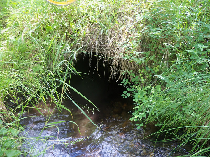
Inlet

Outlet
Upstream Conditions

Downstream Conditions
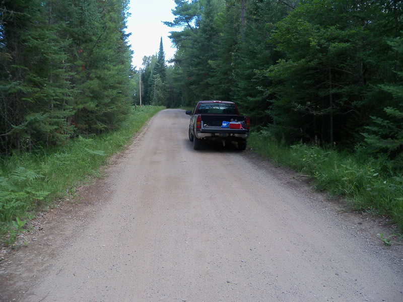
Road Approach - Left
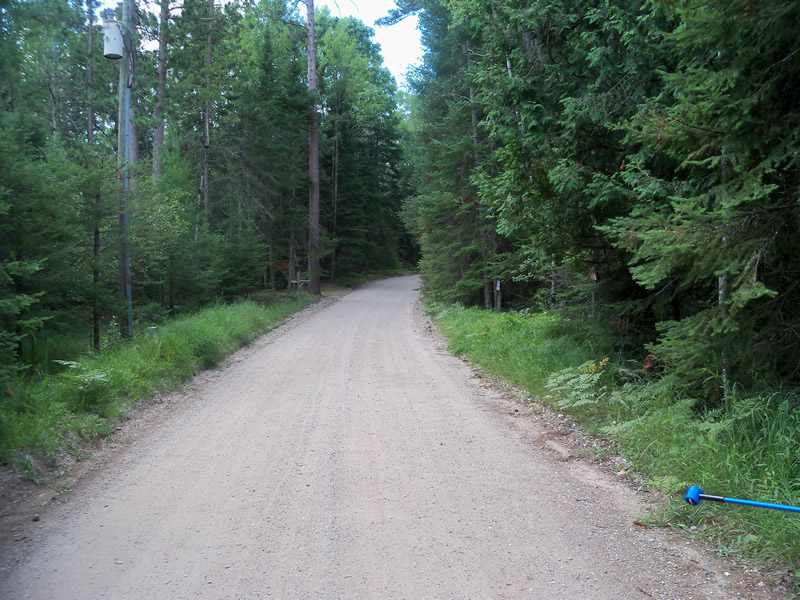
Road Approach - Right
Crossing Information
Type of Crossing: culvert(s)
Number of Structures: 1
Structure Shape: Ellipse
Inlet Type: Projecting
Outlet Type: At Stream Grade
Structure Material: Metal
Structure Substrate: Gravel
General Conditions: Good
Structure Interior: corrugated
Dimensions of Structure: Length 26 ft.
, Width 3 ft.
, Height 2 ft.
Structure is NOT Perched
Structure Inlet
Water Depth: 0.6 ft.
Embedded Depth of Structure: 0 ft.
Water Velocity*: 0.7 ft./sec.
Structure Outlet
Water Depth: 0.4 ft.
Embedded Depth of Structure: 0 ft.
Water Velocity*: 0.9 ft./sec.
*Water Velocities were measured at the Surface
(with Meter)
Stream Information
Stream Flow: Less than Bankfull
Scour Pool: Length 0 ft.
, Width 0 ft.
, Depth 0 ft.
Upstream Pond: Length 0 ft.
, Width 0 ft.
, Depth 0 ft.
Riffle Information
Water Depth: 0.2 ft.
Bankfull Width: 8 ft.
Wetted Width: 6 ft.
Water Velocity: 1 ft./sec.
(Measured with Meter)
Dominant Substrate: Gravel
Road Information
Sand
County Road
Road Condition: Good
Road Width at Culvert: 15 ft.
Location of Low Point: At Stream
Runoff Path: Roadway
Embankments
Upstream
Fill Depth: 1.8 ft.
Slope: More than 1:2
Downstream
Fill Depth: 1.6 ft.
Slope: More than 1:2
Approaches
Left Approach
Length: 550 ft.
Slope: 1% to 5%
Vegetation: Heavy
LS Factor: 0.51
Erosion: 1.1591 tons/year
Right Approach
Length: 350 ft.
Slope: 1% to 5%
Vegetation: Heavy
LS Factor: 0.47
Erosion: 0.6798 tons/year
Erosion Information
Total Erosion at Crossing: 1.8405 tons/year
Extent of Erosion: Minor
Erosion is occurring and corrective actions can be installed to address the problem.
Location of Erosion | Erosion Dimensions | Eroded Material | Material Eroded | Total Erosion | ||
facing downstream | Length | Width | Depth | Reaching Stream? | (tons/year) | |
Right Downtream Ditch |
2.5 ft. |
0.9 ft. |
0.6 ft. |
yes |
Sand |
0.0017 |
Summary Information
Fish Passability 0.9
These non-native species were observerd at this site: Sweet Clover
�