Road Stream Crossing Site AUS_IS017
Au Sable River Watershed
Two Track
Oscoda Twp,
Iosco County
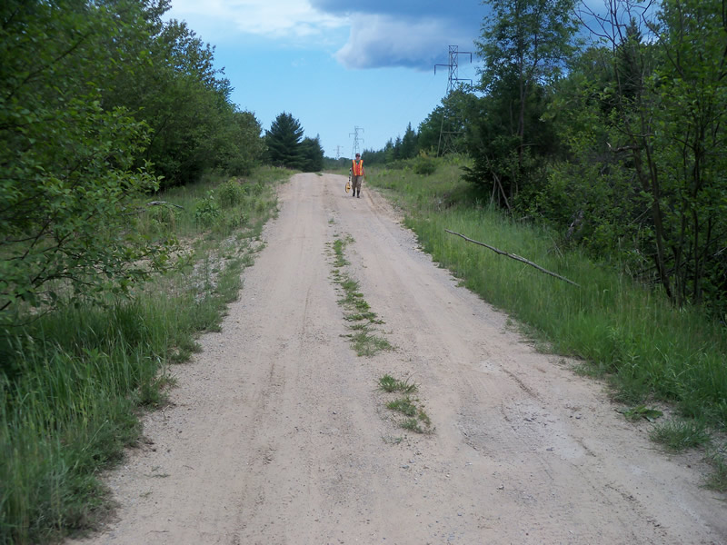
Information collected by:
Site Location
GPS Coordinates: 44.5058
, -83.80357
T24N
R07E
Sec 22
Owned by Federal
Fish Passability 0
Perch Height: 4 ft.
Total Erosion: 0.4474 tons/year
Severity: Severe
Year Inventoried: 2012
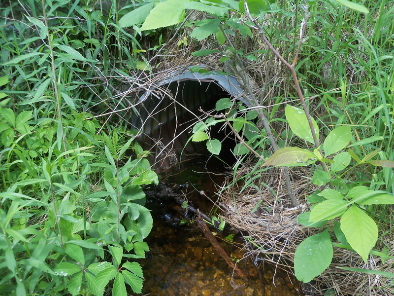
Inlet
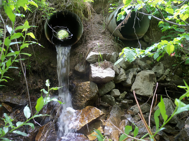
Outlet
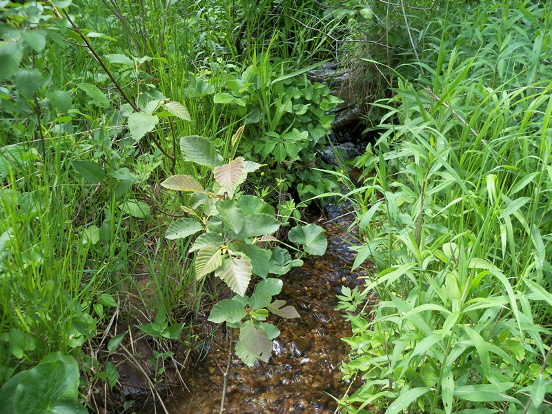
Upstream Conditions
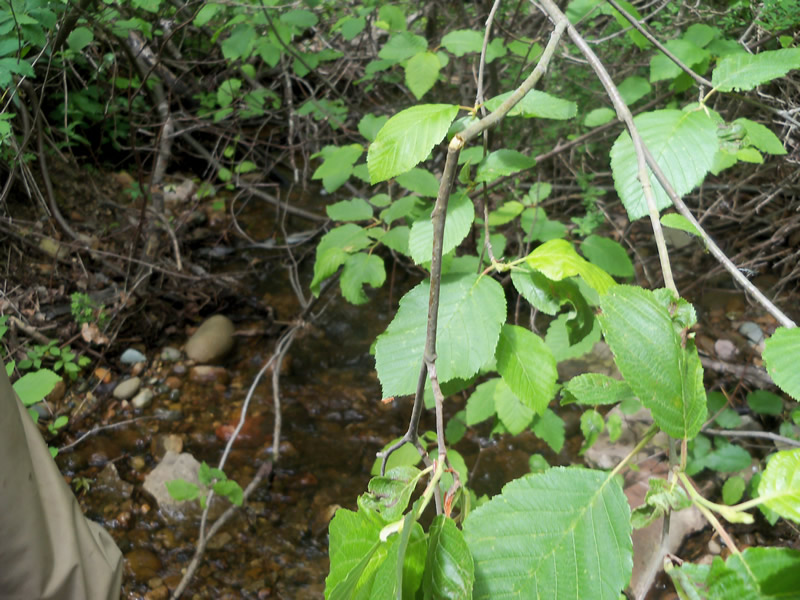
Downstream Conditions
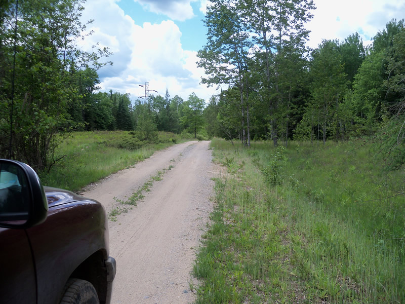
Road Approach - Left
Road Approach - Right
Crossing Information
Type of Crossing: culvert(s)
Number of Structures: 1
Structure Shape: Round
Inlet Type: Projecting
Outlet Type: Freefall onto Riprap
Structure Material: Metal
Structure Substrate: None
General Conditions: Fair
Structure Interior: corrugated
Dimensions of Structure: Length 23.1 ft.
, Width 2 ft.
, Height 2 ft.
Perch Height: 4 ft.
Structure Inlet
Water Depth: 0.2 ft.
Embedded Depth of Structure: 0 ft.
Water Velocity*: 1.2 ft./sec.
Structure Outlet
Water Depth: 0.2 ft.
Embedded Depth of Structure: 0 ft.
Water Velocity*: 8.7 ft./sec.
*Water Velocities were measured at the Surface
(with Meter)
Additional Comments
Culvert #1 is completely dry, and sits to the left of the stream. There is some erosion on the roadway further up the road, no reaching the stream yet, but the whole road is in poor shape. Located on a road leading back to a primitive campground off the end of Cooke Dam Road.
Stream Information
Stream Flow: Less than 1/2 Bankfull
Scour Pool: Length 8 ft.
, Width 7 ft.
, Depth 0.7 ft.
Upstream Pond: Length 0 ft.
, Width 0 ft.
, Depth 0 ft.
Riffle Information
Water Depth: 0.2 ft.
Bankfull Width: 49.1 ft.
Wetted Width: 3.7 ft.
Water Velocity: 1.2 ft./sec.
(Measured with Meter)
Dominant Substrate: Gravel
Road Information
Sand
Federal Road
Road Condition: Poor
Road Width at Culvert: 11 ft.
Location of Low Point: At Stream
Runoff Path: Roadway
Embankments
Upstream
Fill Depth: 2.5 ft.
Slope: 1:2
Downstream
Fill Depth: 4 ft.
Slope: 1:1.5
Approaches
Left Approach
Length: 224.8 ft.
Slope: 1% to 5%
Vegetation: Heavy
LS Factor: 0.435
Erosion: 0.2963 tons/year
Right Approach
Length: 127.5 ft.
Slope: 1% to 5%
Vegetation: Heavy
LS Factor: 0.391
Erosion: 0.1511 tons/year
Erosion Information
Total Erosion at Crossing: 0.4474 tons/year
Summary Information
Fish Passability 0
Fish Passage is an area of concern for this site.
Yes, because the outlet is perched very high and would be impassable to fish, and is also flowing very fast.
A future visit to this site is recommended. Yes, because the outlet is perched and the second culvert is not functioning.
These non-native species were observerd at this site: Japanes Barberry, Mullein, Sweet Clover, Spotted Knapweed
�