Road Stream Crossing Site AUS_IS015
Au Sable River Watershed, Au Sable River
Rea Rd
Oscoda Twp,
Iosco County
Information collected by:
Site Location
GPS Coordinates: 44.43599
, -83.45449
T24N
R08E
Sec 35
Owned by Private
Structure is NOT Perched
Total Erosion: 0 tons/year
Severity: Minor
Year Inventoried: 2012
Inlet
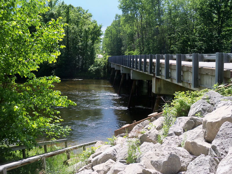
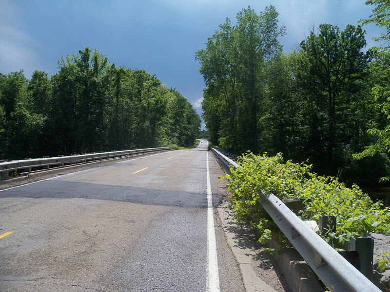
Outlet
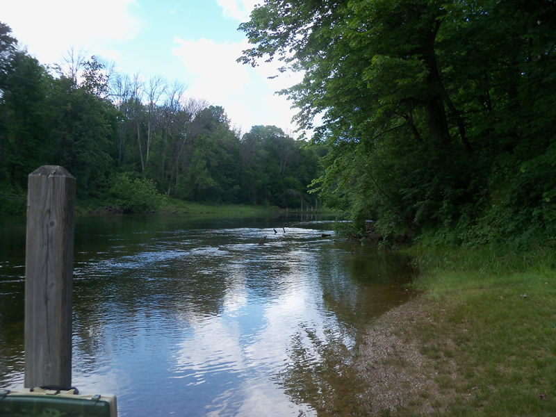
Upstream Conditions
Downstream Conditions
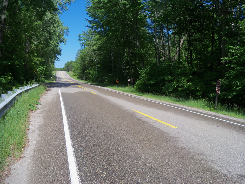
Road Approach - Left
Road Approach - Right
Crossing Information
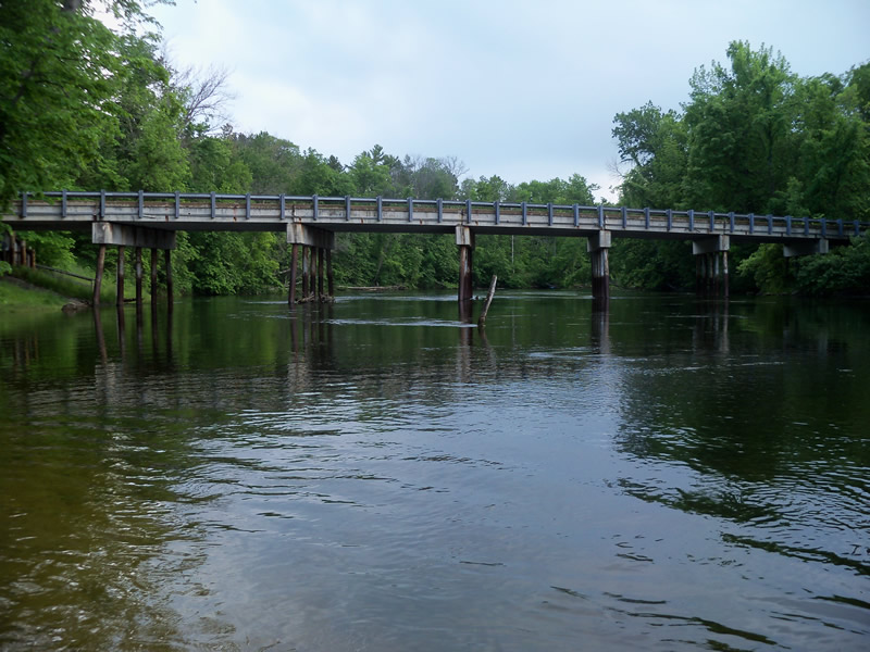
Type of Crossing: Bridge
Structure Shape: Open Bottom Square/Rectangle
Inlet Type: Headwall
Outlet Type: At Stream Grade
Structure Material: Metal
Structure Substrate: Mixture
General Conditions: Fair
Structure Interior: smooth
Dimensions of Structure: Length 240 ft.
, Width 23.5 ft.
, Height 14.2 ft.
Structure is NOT Perched
Embedded Depth of Structure: 0 ft.
Water Velocity*: 1.6 ft./sec.
Embedded Depth of Structure: 0 ft.
Water Velocity*: 2.9 ft./sec.
*Water Velocities were measured at the Surface
(with Meter)
Additional Comments
Couldn't get measurements of water depth and bridge size, etc. because of the large size of the bridge and the river at this crossing.
Stream Information
Stream Flow: Less than Bankfull
Scour Pool: Length 0 ft.
, Width 0 ft.
, Depth 0 ft.
Upstream Pond: Length 0 ft.
, Width 0 ft.
, Depth 0 ft.
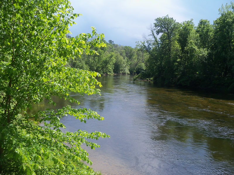
Riffle Information
Water Depth: 710 ft.
Bankfull Width: 240 ft.
Wetted Width: 205 ft.
Water Velocity: 2 ft./sec.
(Measured with Meter)
Dominant Substrate: Organics
Road Information
Paved
County Road
Road Condition: Good
Road Width at Culvert: 23.5 ft.
Location of Low Point: Other
Runoff Path: Roadway
Embankments
Upstream
Fill Depth: 3.4 ft.
Slope: Vertical
Downstream
Fill Depth: 3.4 ft.
Slope: Vertical
Approaches
Left Approach
Length: 0 ft.
Slope: Less Than 1%
Vegetation: Heavy
LS Factor: 0.05
Erosion: 0 tons/year
Right Approach
Length: 0 ft.
Slope: Less Than 1%
Vegetation: Heavy
LS Factor: 0.05
Erosion: 0 tons/year
Erosion Information
Total Erosion at Crossing: 0 tons/year
Summary Information
�