Road Stream Crossing Site AUS_IS002
Au Sable River Watershed, Au Sable River
Mill Street
AuSable Twp,
Iosco County
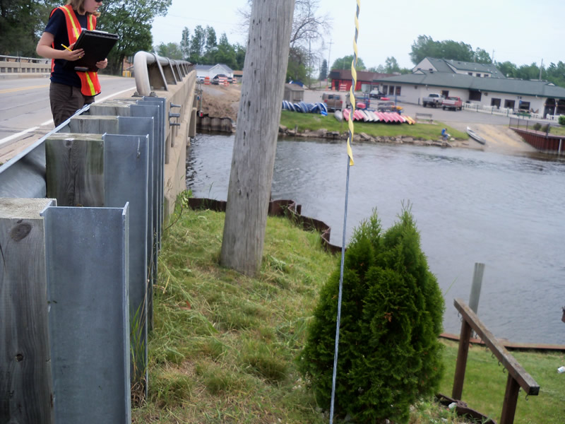
Information collected by:
Site Location
GPS Coordinates: 44.4153
, -83.33092
T23N
R09E
Sec 3
Owned by Private
Structure is NOT Perched
Total Erosion: 0 tons/year
Severity: Minor
Year Inventoried: 2012
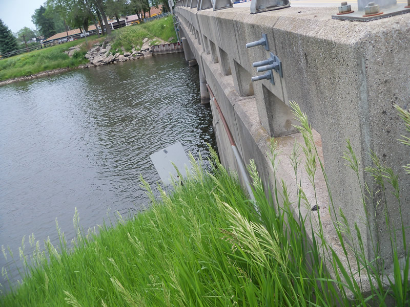
Inlet
Outlet
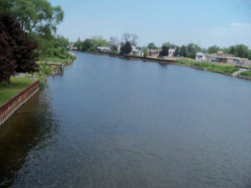
Upstream Conditions
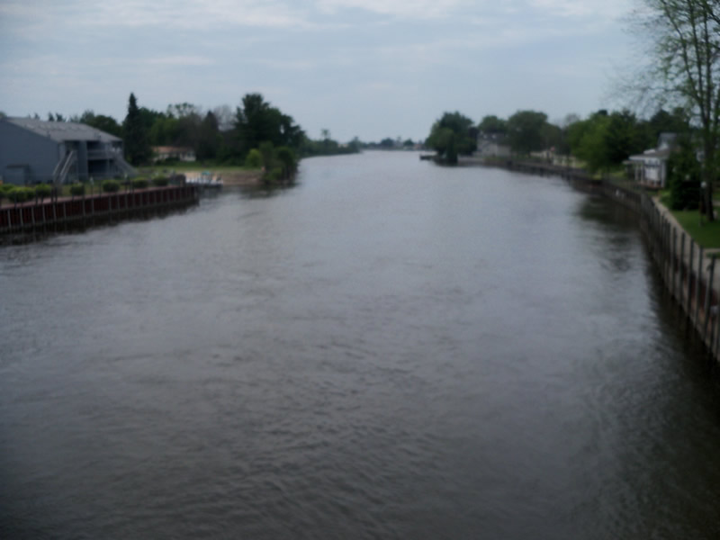
Downstream Conditions
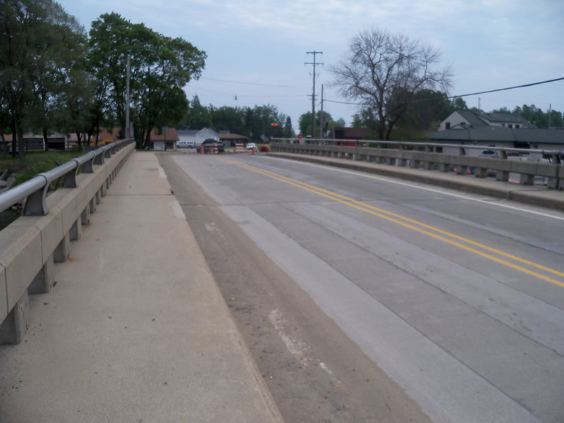
Road Approach - Left
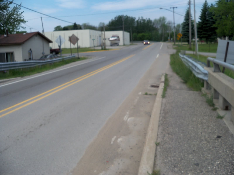
Road Approach - Right
Crossing Information
Type of Crossing: Bridge
Structure Shape: Open Bottom Square/Rectangle
Inlet Type: Wingwall 10-30 Degree
Outlet Type: Outlet Apron
Structure Material: Concrete
Structure Substrate: Mixture
General Conditions: Fair
Structure Interior: smooth
Dimensions of Structure: Length 38.7 ft.
, Width 193.5 ft.
Structure is NOT Perched
Additional Comments
The bridge was too tall to measure and the river to large and deep to get in and measure, but it appeared deep and was moving pretty fast.
Stream Information
Stream Flow: Less than Bankfull
Scour Pool: Length 0 ft.
, Width 0 ft.
, Depth 0 ft.
Upstream Pond: Length 0 ft.
, Width 0 ft.
, Depth 0 ft.
Bankfull Width: 122.6 ft.
Wetted Width: 120.6 ft.
Road Information
Paved
Town Road
Road Condition: Good
Road Width at Culvert: 27.2 ft.
Location of Low Point: Other
Runoff Path: Roadway
Embankments
Upstream
Fill Depth: 3.5 ft.
Slope: Vertical
Downstream
Fill Depth: 3.5 ft.
Slope: Vertical
Approaches
Left Approach
Length: 0 ft.
Slope: Less Than 1%
Vegetation: Heavy
LS Factor: 0.05
Erosion: 0 tons/year
Right Approach
Length: 0 ft.
Slope: Less Than 1%
Vegetation: Heavy
LS Factor: 0.05
Erosion: 0 tons/year
Erosion Information
Total Erosion at Crossing: 0 tons/year
Summary Information
These non-native species were observerd at this site: Spotted Knapweed
�