Road Stream Crossing Site AUS_IS003
Au Sable River Watershed, Au Sable River
River Rd
AuSable Twp,
Iosco County
Information collected by:
Site Location
GPS Coordinates: 44.42099
, -83.34086
T23N
R09E
Sec 4,3
Owned by Private
Total Erosion: 0.2941 tons/year
Severity: Minor
Year Inventoried: 2012
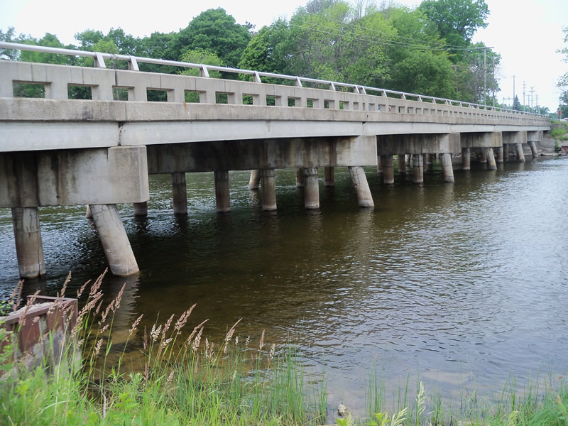
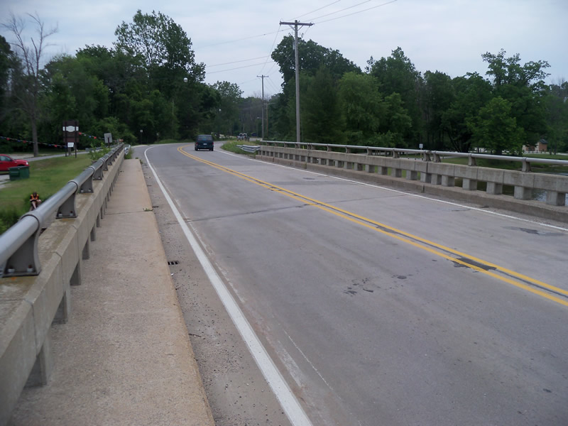
Inlet
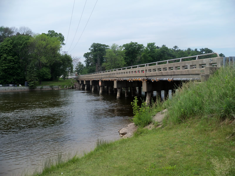
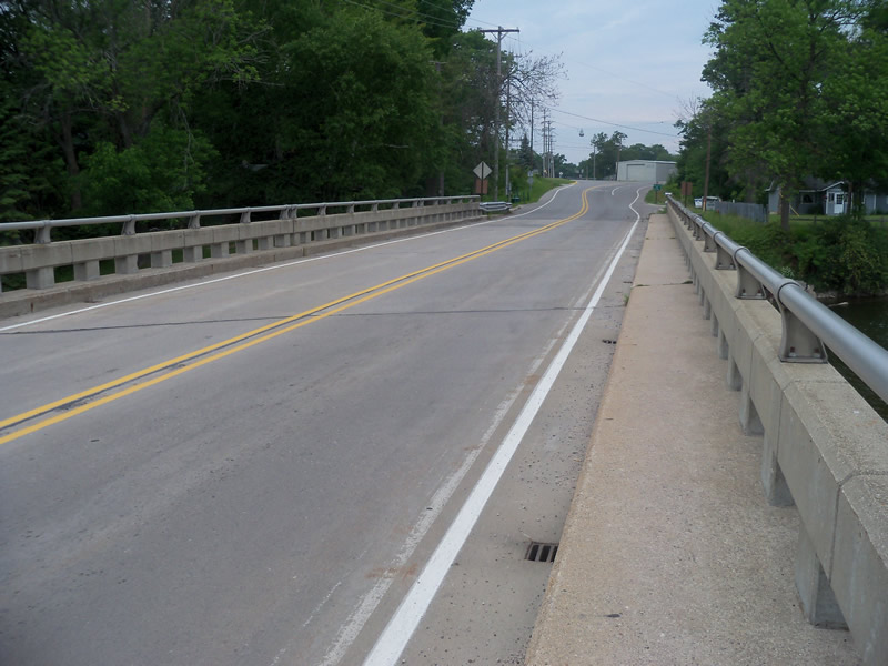
Outlet
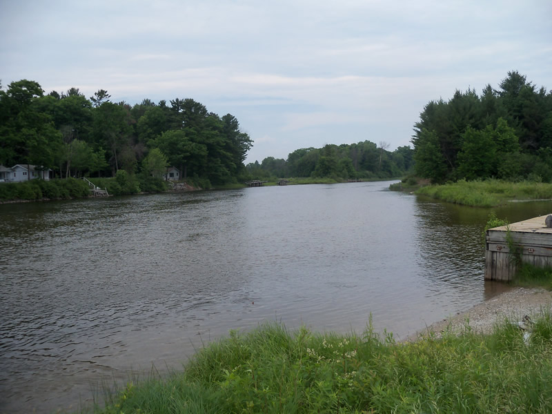
Upstream Conditions
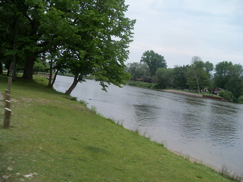
Downstream Conditions
Road Approach - Left
Road Approach - Right
Crossing Information
Type of Crossing: Bridge
Structure Shape: Open Bottom Square/Rectangle
Inlet Type: Other
Outlet Type: Other
Structure Material: Concrete
Structure Substrate: Mixture
General Conditions: Fair
Structure Interior: smooth
Dimensions of Structure: Length 32.5 ft.
, Width 301 ft.
Additional Comments
The bridge and river were too large to get measurements in the water or measure the height of the bridge.
Stream Information
Stream Flow: Less than Bankfull
Scour Pool: Length 0 ft.
, Width 0 ft.
, Depth 0 ft.
Upstream Pond: Length 0 ft.
, Width 0 ft.
, Depth 0 ft.
Bankfull Width: 300 ft.
Wetted Width: 296.9 ft.
Dominant Substrate: Sand
Road Information
Paved
County Road
Road Condition: Good
Road Width at Culvert: 27 ft.
Location of Low Point: Other
Runoff Path: Roadway
Embankments
Upstream
Fill Depth: 3 ft.
Slope: Vertical
Downstream
Fill Depth: 3 ft.
Slope: Vertical
Approaches
Left Approach
Length: 628.5 ft.
Slope: 1% to 5%
Vegetation: Heavy
LS Factor: 0.524
Erosion: 0.2941 tons/year
Right Approach
Length: 0 ft.
Slope: Less Than 1%
Vegetation: Heavy
LS Factor: 0.05
Erosion: 0 tons/year
Erosion Information
Total Erosion at Crossing: 0.2941 tons/year
Summary Information
These non-native species were observerd at this site: Sweet Clover, Spotted Knapweed
�