Road Stream Crossing Site AUS_PR108
Au Sable River Watershed, Backus Creek
Hubbard Lake Rd
Gustin Twp,
Alcona County
Information collected by:
Site Location
GPS Coordinates: 44.63958
, -83.52454
T26N
R08E
Sec 19
Owned by Private
Fish Passability 0.9
Structure is NOT Perched
Total Erosion: 1.0929 tons/year
Severity: Moderate
Year Inventoried: 2012
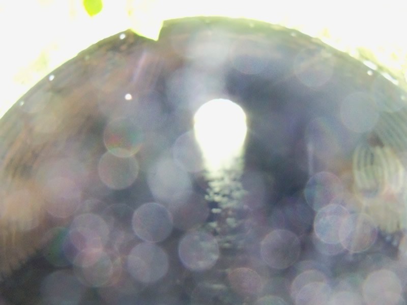
Inlet
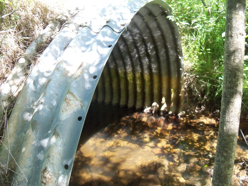
Outlet
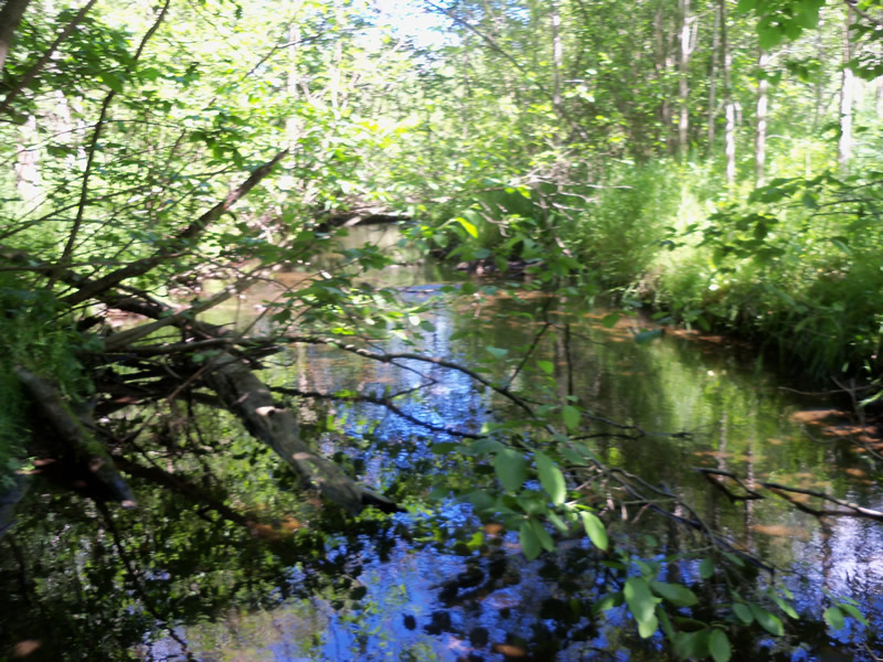
Upstream Conditions
Downstream Conditions
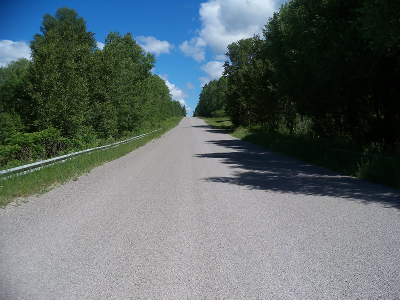
Road Approach - Left
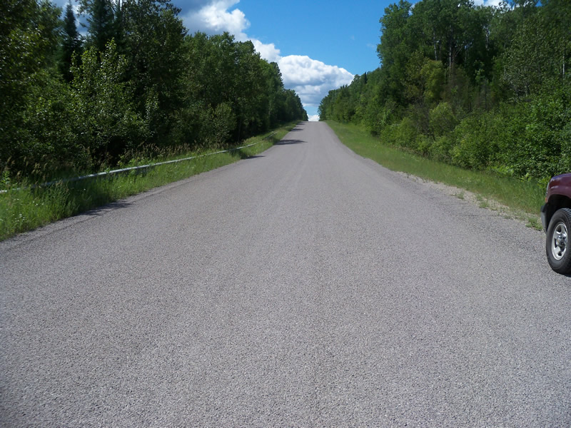
Road Approach - Right
Crossing Information
Type of Crossing: culvert(s)
Number of Structures: 1
Structure Shape: Pipe Arch
Inlet Type: Projecting
Outlet Type: At Stream Grade
Structure Material: Metal
Structure Substrate: Sand
General Conditions: Fair
Structure Interior: corrugated
Dimensions of Structure: Length 94 ft.
, Width 10.8 ft.
, Height 7.2 ft.
Structure is NOT Perched
Structure Inlet
Water Depth: 0.6 ft.
Embedded Depth of Structure: 0 ft.
Water Velocity*: 1.1 ft./sec.
Structure Outlet
Water Depth: 0.9 ft.
Embedded Depth of Structure: 0.1 ft.
Water Velocity*: 0.6 ft./sec.
*Water Velocities were measured at the Surface
(with Meter)
Additional Comments
There is riprap piled right beyond the outlet (cement pieces mostly) that is making the water shallower and speeding it up, creating a scour pool. The scour pool appears to be due to this and not the culvert because the water isn't speeding up in the culvert itself.
Stream Information
Stream Flow: Less than Bankfull
Scour Pool: Length 17.5 ft.
, Width 19 ft.
, Depth 1.9 ft.
Upstream Pond: Length 0 ft.
, Width 0 ft.
, Depth 0 ft.
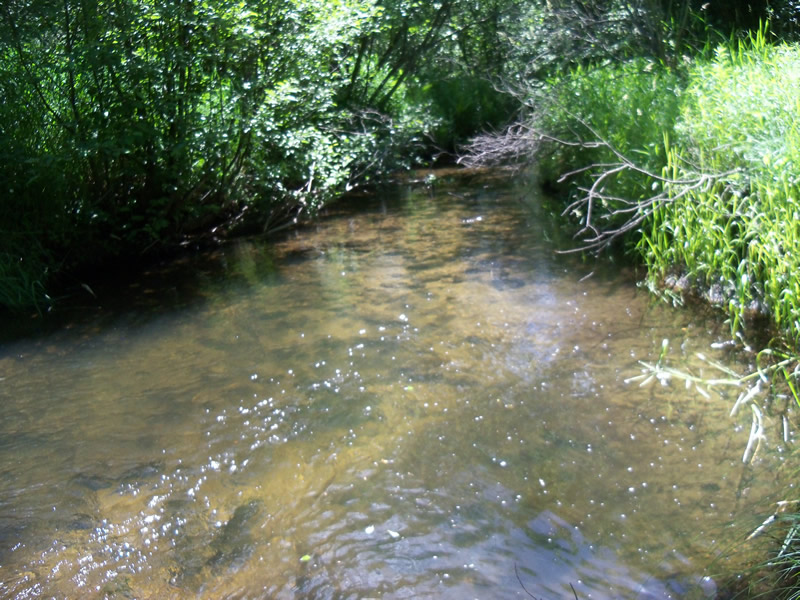
Riffle Information
Water Depth: 0.2 ft.
Bankfull Width: 17.5 ft.
Wetted Width: 11.9 ft.
Water Velocity: 1 ft./sec.
(Measured with Meter)
Dominant Substrate: Gravel
Road Information
Paved
County Road
Road Condition: Good
Road Width at Culvert: 29 ft.
Location of Low Point: At Stream
Runoff Path: Roadway
Embankments
Upstream
Fill Depth: 6.1 ft.
Slope: More than 1:2
Downstream
Fill Depth: 6.5 ft.
Slope: More than 1:2
Approaches
Left Approach
Length: 1000 ft.
Slope: 1% to 5%
Vegetation: Heavy
LS Factor: 0.57
Erosion: 0.5464 tons/year
Right Approach
Length: 1000 ft.
Slope: 1% to 5%
Vegetation: Heavy
LS Factor: 0.57
Erosion: 0.5464 tons/year
Erosion Information
Total Erosion at Crossing: 1.0929 tons/year
Summary Information
Fish Passability 0.9
A future visit to this site is recommended. To evaluate the cause of the scour pool and see how it could be fixed.
�