Road Stream Crossing Site AUS_PR136
Au Sable River Watershed, West Branch Pine River
Fowler Rd
Millen Twp,
Alcona County
Information collected by:
Site Location
GPS Coordinates: 44.62635
, -83.53333
T26N
R07E
Sec 23,25
Owned by Private
Fish Passability 0.5
Structure is NOT Perched
Total Erosion: 2.5618 tons/year
Severity: Moderate
Year Inventoried: 2012
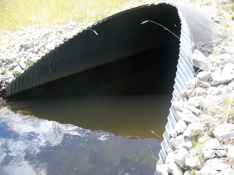
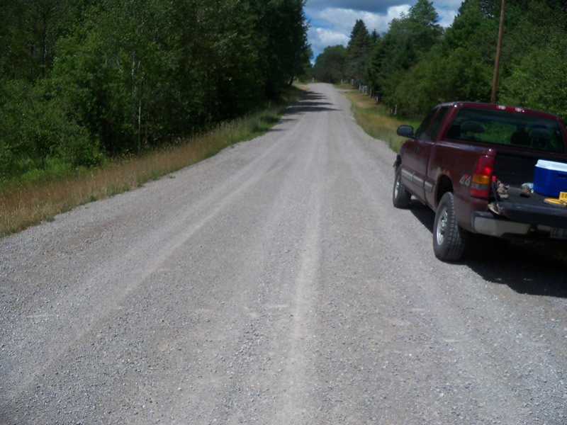
Inlet
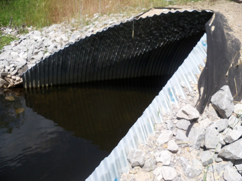
Outlet
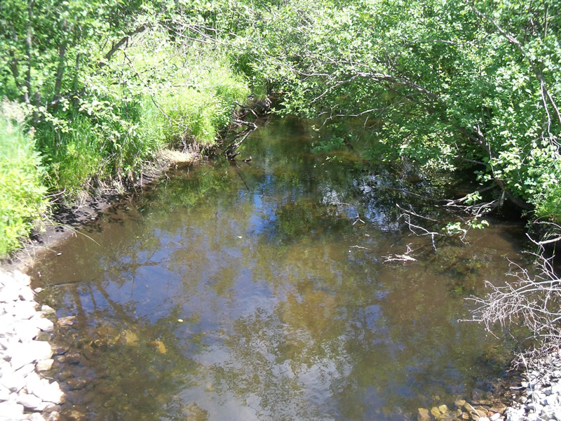
Upstream Conditions
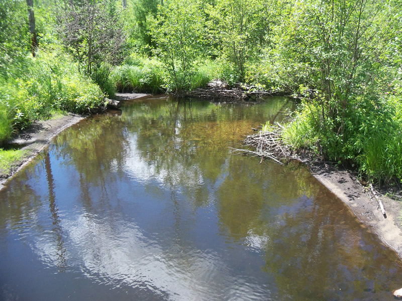
Downstream Conditions
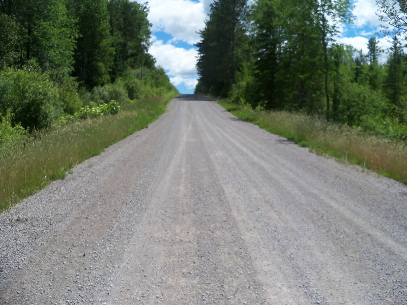
Road Approach - Left
Road Approach - Right
Crossing Information
Type of Crossing: culvert(s)
Number of Structures: 1
Structure Shape: Ellipse
Inlet Type: Mitered
Outlet Type: At Stream Grade
Structure Material: Metal
Structure Substrate: None
General Conditions: New
Structure Interior: corrugated
Dimensions of Structure: Length 66 ft.
, Width 11 ft.
, Height 8 ft.
Structure is NOT Perched
Structure Inlet
Water Depth: 3.2 ft.
Embedded Depth of Structure: 0 ft.
Water Velocity*: 0.5 ft./sec.
Structure Outlet
Water Depth: 2.9 ft.
Embedded Depth of Structure: 0 ft.
Water Velocity*: 0.2 ft./sec.
*Water Velocities were measured at the Surface
(with Meter)
Additional Comments
The culvert seems to have recently been replaced, and the embankments have erosion netting over them with some grass growing, but not fully vegetated. Along the banks of the outlet epecially there are areas of black sediment building up and being colonized by plants, as if the water level had recently gone down or the channel changed. There is a small area of sitting water to the left of the outlet, but it is hardly connected to the river at this point, so we didn't call it a scour pool.
Stream Information
Stream Flow: Less than Bankfull
Scour Pool: Length 0 ft.
, Width 0 ft.
, Depth 0 ft.
Upstream Pond: Length 0 ft.
, Width 0 ft.
, Depth 0 ft.
Riffle Information
Water Depth: 0.7 ft.
Bankfull Width: 19 ft.
Wetted Width: 18 ft.
Water Velocity: 0.7 ft./sec.
(Measured with Meter)
Dominant Substrate: Sand
Road Information
Gravel
County Road
Road Condition: Good
Road Width at Culvert: 23 ft.
Location of Low Point: Other
Runoff Path: Ditch
Embankments
Upstream
Fill Depth: 0.8 ft.
Slope: More than 1:2
Downstream
Fill Depth: 1 ft.
Slope: More than 1:2
Approaches
Left Approach
Length: 596 ft.
Slope: 1% to 5%
Vegetation: Partial
LS Factor: 0.678
Erosion: 2.5618 tons/year
Right Approach
Length: 0 ft.
Slope: Less Than 1%
Vegetation: Partial
LS Factor: 0.05
Erosion: 0 tons/year
Erosion Information
Total Erosion at Crossing: 2.5618 tons/year
Summary Information
Fish Passability 0.5
These non-native species were observerd at this site: Sweet Clover
�