Road Stream Crossing Site CHAR_CX10
Lake Charlevoix Watershed, Round Lake
Stover Rd
Charlevoix Twp,
Charlevoix County
Information collected by:
Site Location
GPS Coordinates: 45.30225
, -85.24721
T34N
R08W
Sec 35
Owned by Private
Year Inventoried: 2011
Contact Point
Road Approach - Left
Crossing Information
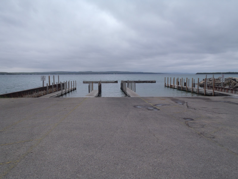
Type of Crossing: Contact Point
General Conditions: Good
, Width 80 ft.
Additional Comments
City Boat Launch/marina
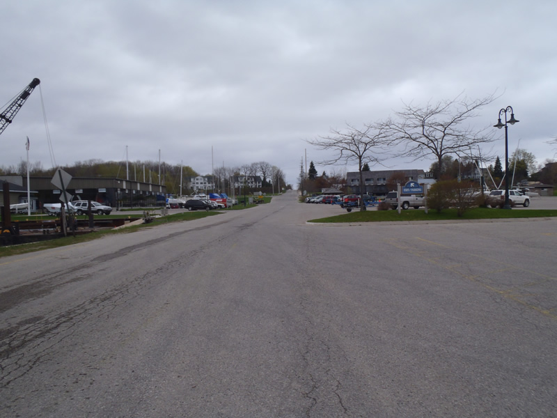
Road Information
Paved
Town Road
Road Width at Culvert: 35 ft.
Location of Low Point: At Stream
Runoff Path: Roadway
Length: 1000 ft.
Slope: 6% to 10%
Vegetation: Partial
Erosion Information
Summary Information
�