Road Stream Crossing Site AUS_PR076
Au Sable River Watershed, Tributary of East Branch Pine River
Tait Rd
Gustin Twp,
Alcona County
Information collected by:
Site Location
GPS Coordinates: 44.59804
, -83.44598
T26N
R08E
Sec 34
Owned by Private
Fish Passability 0.9
Structure is NOT Perched
Total Erosion: 0.7477 tons/year
Severity: Moderate
Year Inventoried: 2012

Inlet

Outlet

Upstream Conditions

Downstream Conditions
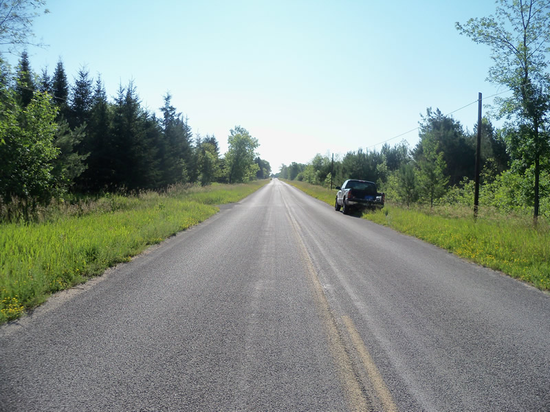
Road Approach - Left

Road Approach - Right
Crossing Information
Type of Crossing: culvert(s)
Number of Structures: 2
Structure Shape: Ellipse
Inlet Type: Projecting
Outlet Type: At Stream Grade
Structure Material: Metal
Structure Substrate: Mixture
General Conditions: Good
Structure Interior: corrugated
Dimensions of Structure: Length 56.5 ft.
, Width 8.5 ft.
, Height 7.2 ft.
Structure is NOT Perched
Structure Inlet
Water Depth: 1.2 ft.
Embedded Depth of Structure: 0 ft.
Water Velocity*: 0.1 ft./sec.
Structure Outlet
Water Depth: 0.7 ft.
Embedded Depth of Structure: 0.3 ft.
Water Velocity*: 0 ft./sec.
*Water Velocities were measured at the Surface
(with Meter)
Additional Comments
Upstream there are what looks to be either narrow-leaved cattails or hybrids of narrow-leaved cattails and native cattails (flowers were closer and farther together on different plants, but all had the seperation of the narrow-leaved cattail).
Stream Information
Stream Flow: Less than Bankfull
Scour Pool: Length 33.5 ft.
, Width 27 ft.
, Depth 1.5 ft.
Upstream Pond: Length 0 ft.
, Width 0 ft.
, Depth 0 ft.
Riffle Information
Water Depth: 0.2 ft.
Bankfull Width: 14 ft.
Wetted Width: 8 ft.
Water Velocity: 0.7 ft./sec.
(Measured with Meter)
Dominant Substrate: Gravel
Road Information
Paved
County Road
Road Condition: Good
Road Width at Culvert: 23 ft.
Location of Low Point: At Stream
Runoff Path: Roadway
Embankments
Upstream
Fill Depth: 1.6 ft.
Slope: More than 1:2
Downstream
Fill Depth: 1.6 ft.
Slope: More than 1:2
Approaches
Left Approach
Length: 1000 ft.
Slope: 1% to 5%
Vegetation: Heavy
LS Factor: 0.57
Erosion: 0.4334 tons/year
Right Approach
Length: 760 ft.
Slope: 1% to 5%
Vegetation: Heavy
LS Factor: 0.544
Erosion: 0.3144 tons/year
Erosion Information
Total Erosion at Crossing: 0.7477 tons/year
Summary Information
Fish Passability 0.9
A future visit to this site is recommended. To check on water quality-looks milky.
These non-native species were observerd at this site: Spotted Knapweed, Sweet Clover, narrow-leaved cattails, Reed Canarygrass?
�