Road Stream Crossing Site AUS_AL024
Au Sable River Watershed, Bamfield Creek
Au Sable Rd
Curtis Twp,
Alcona County
Information collected by:
Site Location
GPS Coordinates: 44.578922
, -83.805321
T25N
R05E
Sec 11
Owned by Federal
Fish Passability 0
Perch Height: 1.3 ft.
Total Erosion: 0.6186 tons/year
Severity: Severe
Year Inventoried: 2012
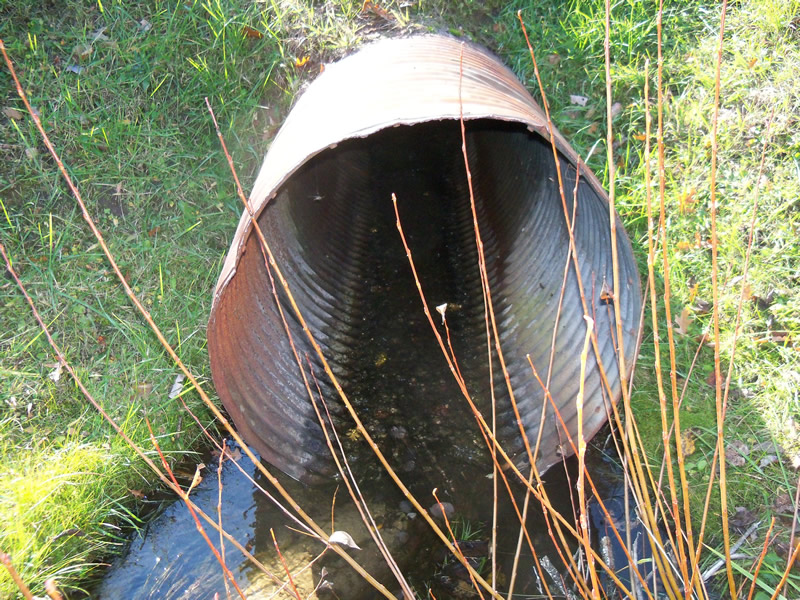
Inlet
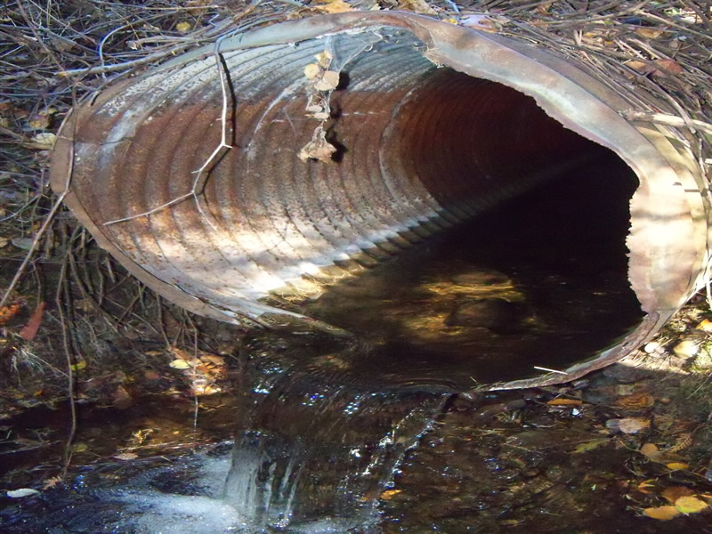
Outlet
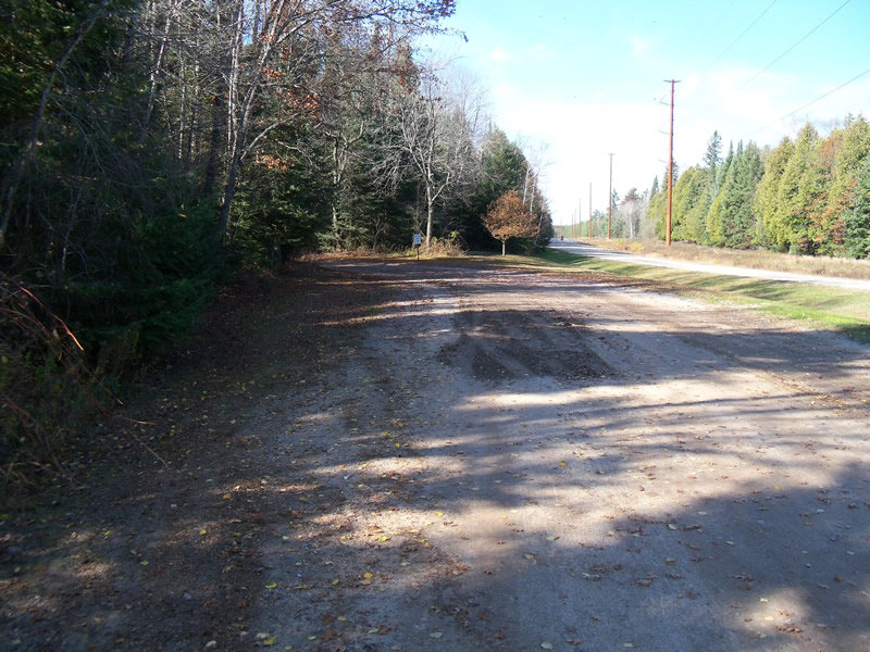
Upstream Conditions
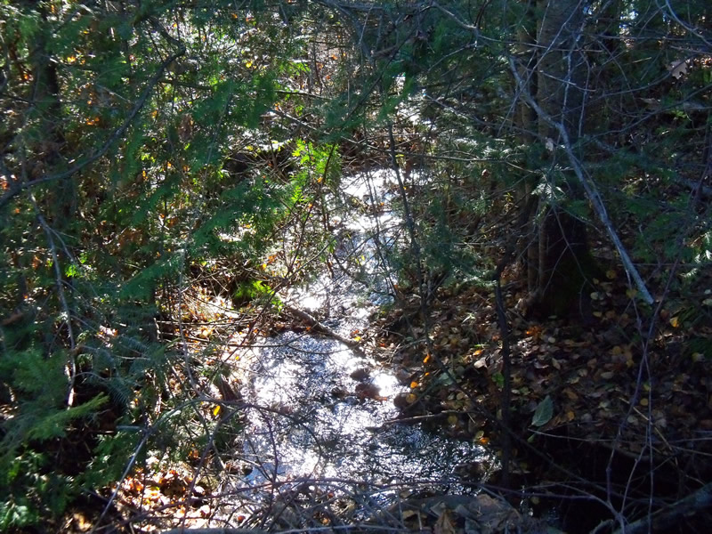
Downstream Conditions
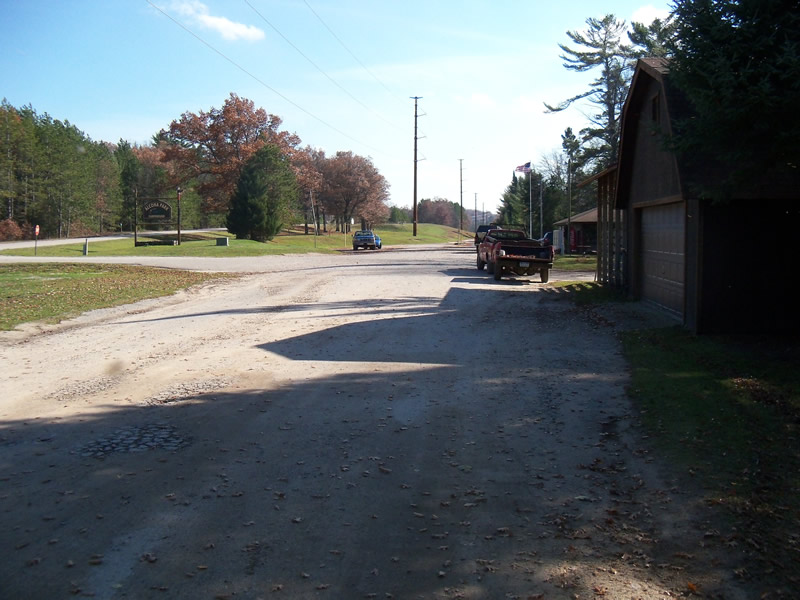
Road Approach - Left
Road Approach - Right
Crossing Information
Type of Crossing: culvert(s)
Number of Structures: 1
Structure Shape: Round
Inlet Type: Projecting
Outlet Type: Freefall into Pool
Structure Material: Metal
Structure Substrate: None
General Conditions: Good
Structure Interior: corrugated
Dimensions of Structure: Length 62 ft.
, Width 3 ft.
, Height 3 ft.
Perch Height: 1.3 ft.
Structure Inlet
Water Depth: 0.3 ft.
Embedded Depth of Structure: 0 ft.
Water Velocity*: 0.4 ft./sec.
Structure Outlet
Water Depth: 0.9 ft.
Embedded Depth of Structure: 0 ft.
Water Velocity*: 0.4 ft./sec.
*Water Velocities were measured 0.3 ft. below Surface
(with Meter)
Stream Information
Stream Flow: Less than Bankfull
Scour Pool: Length 9 ft.
, Width 7 ft.
, Depth 0.9 ft.
Upstream Pond: Length 0 ft.
, Width 0 ft.
, Depth 0 ft.
Riffle Information
Water Depth: 0.3 ft.
Bankfull Width: 15 ft.
Wetted Width: 3 ft.
Water Velocity: 1 ft./sec.
(Measured with Meter)
Dominant Substrate: Organics
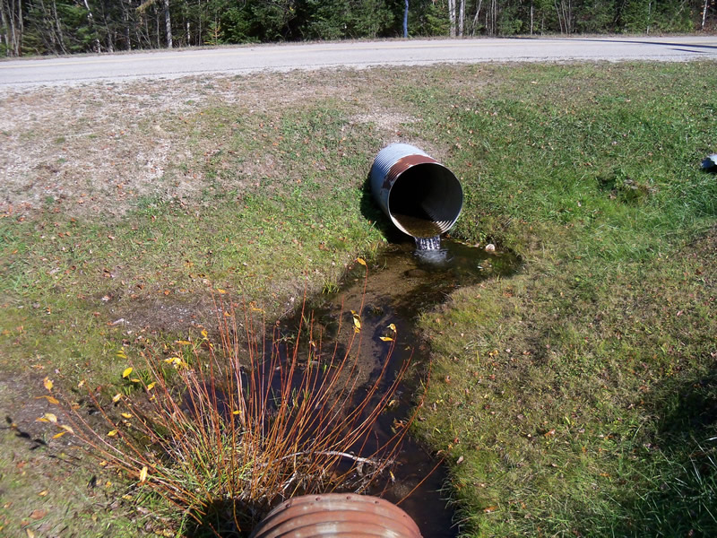
Road Information
Gravel
Private Road
Road Condition: Good
Road Width at Culvert: 28 ft.
Location of Low Point: At Stream
Runoff Path: Ditch
Embankments
Upstream
Fill Depth: 3 ft.
Slope: 1:2
Downstream
Fill Depth: 4.8 ft.
Slope: More than 1:2
Approaches
Left Approach
Length: 0 ft.
Slope: Less Than 1%
Vegetation: Partial
LS Factor: 0.05
Erosion: 0 tons/year
Right Approach
Length: 185 ft.
Slope: 1% to 5%
Vegetation: Heavy
LS Factor: 0.421
Erosion: 0.6008 tons/year
Erosion Information
Total Erosion at Crossing: 0.6186 tons/year
Extent of Erosion: Minor
Location of Erosion | Erosion Dimensions | Eroded Material | Material Eroded | Total Erosion | ||
facing downstream | Length | Width | Depth | Reaching Stream? | (tons/year) | |
Right Downstream Embankment |
3.6 ft. |
7 ft. |
4.5 ft. |
yes |
Sand |
0.0178 |
Summary Information
Fish Passability 0
�