Road Stream Crossing Site AUS_AL022
Au Sable River Watershed, Bamfield Creek
Au Sable Rd
Curtis Twp,
Alcona County
Information collected by:
Site Location
GPS Coordinates: 44.571531
, -83.791804
T25N
R05E
Sec 11
Owned by State
Fish Passability 0.9
Structure is NOT Perched
Total Erosion: 0.9798 tons/year
Severity: Moderate
Year Inventoried: 2012
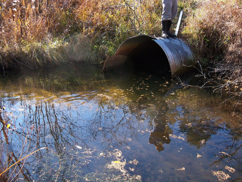
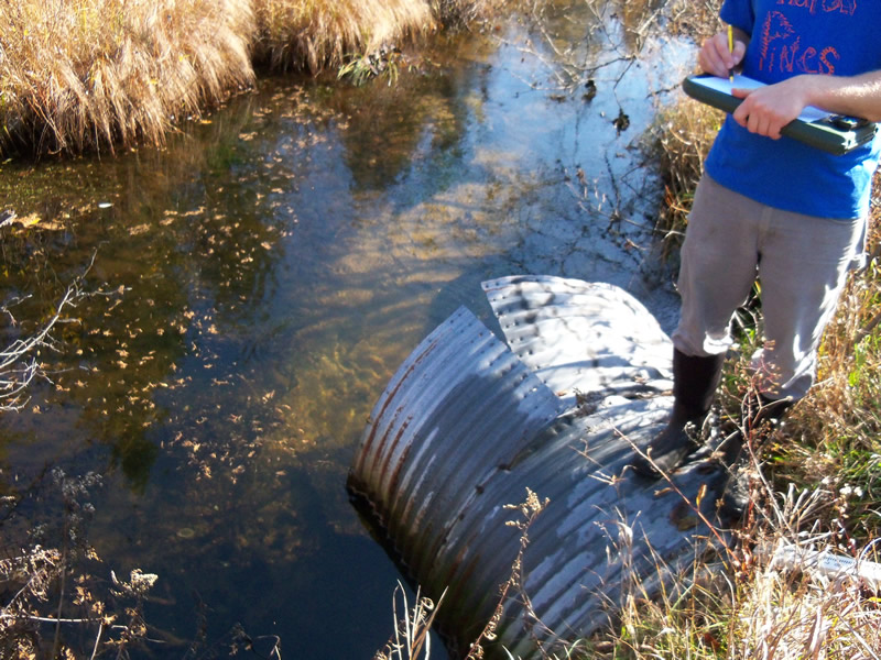
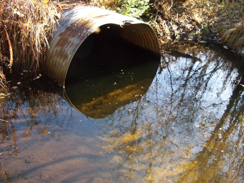
Inlet
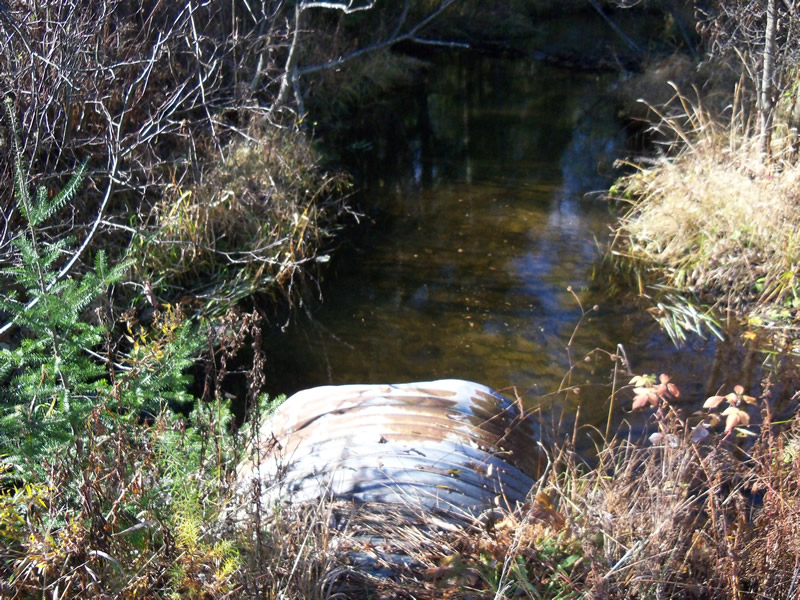
Outlet
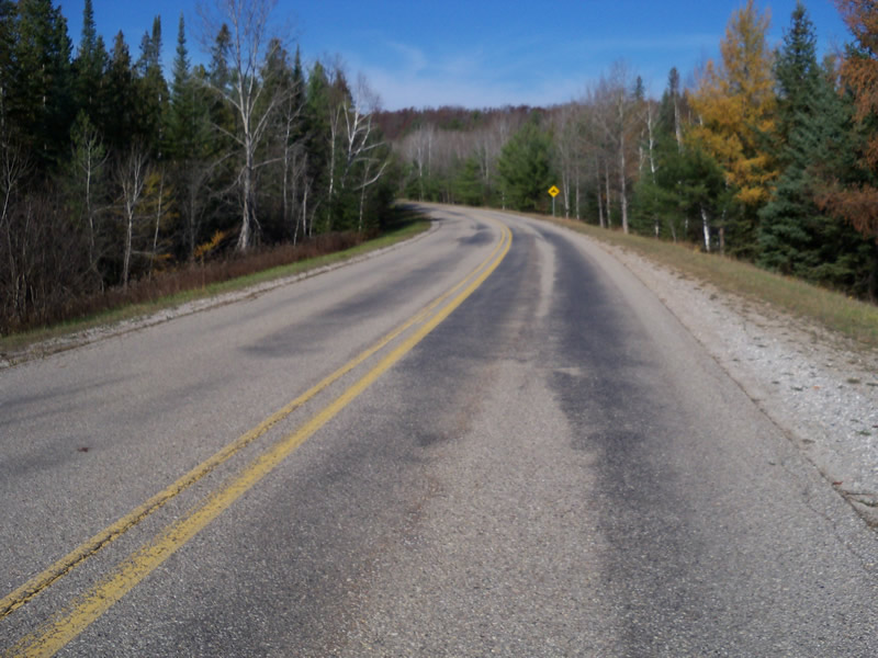
Upstream Conditions
Downstream Conditions
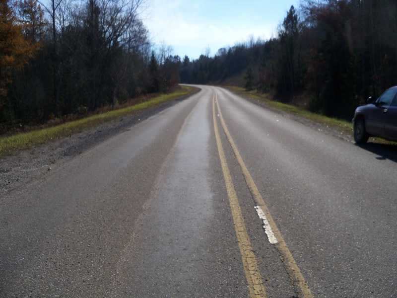
Road Approach - Left
Road Approach - Right
Crossing Information
Type of Crossing: culvert(s)
Number of Structures: 1
Structure Shape: Round
Inlet Type: Projecting
Outlet Type: At Stream Grade
Structure Material: Metal
Structure Substrate: Sand
General Conditions: Poor
Structure Interior: corrugated
Dimensions of Structure: Length 100.3 ft.
, Width 5 ft.
, Height 5 ft.
Structure is NOT Perched
Structure Inlet
Water Depth: 3 ft.
Embedded Depth of Structure: 0 ft.
Water Velocity*: 0.4 ft./sec.
Structure Outlet
Water Depth: 2 ft.
Embedded Depth of Structure: 0.8 ft.
Water Velocity*: 0.6 ft./sec.
*Water Velocities were measured at the Surface
(with Meter)
Stream Information
Stream Flow: Less than Bankfull
Scour Pool: Length 0 ft.
, Width 0 ft.
, Depth 0 ft.
Upstream Pond: Length 15 ft.
, Width 20 ft.
, Depth 3 ft.
Riffle Information
Water Depth: 0.7 ft.
Bankfull Width: 12 ft.
Wetted Width: 9 ft.
Water Velocity: 0.9 ft./sec.
(Measured with Meter)
Dominant Substrate: Sand
Road Information
Paved
County Road
Road Condition: Good
Road Width at Culvert: 26 ft.
Location of Low Point: At Stream
Runoff Path: Ditch
Embankments
Upstream
Fill Depth: 5 ft.
Slope: More than 1:2
Downstream
Fill Depth: 5 ft.
Slope: More than 1:2
Approaches
Left Approach
Length: 1000 ft.
Slope: 1% to 5%
Vegetation: Heavy
LS Factor: 0.57
Erosion: 0.4899 tons/year
Right Approach
Length: 1000 ft.
Slope: 1% to 5%
Vegetation: Heavy
LS Factor: 0.57
Erosion: 0.4899 tons/year
Erosion Information
Total Erosion at Crossing: 0.9798 tons/year
Location of Erosion | Erosion Dimensions | Eroded Material | Material Eroded | Total Erosion | ||
facing downstream | Length | Width | Depth | Reaching Stream? | (tons/year) | |
Right Upstream Embankment |
3 ft. |
5 ft. |
1.7 ft. |
yes |
Sand |
|
Summary Information
Fish Passability 0.9
Erosion is an area of concern for this site.
A future visit to this site is recommended. The terrible condition of the culvert
These non-native species were observerd at this site: Spotted Knapweed
�