Road Stream Crossing Site AUS_AL006
Au Sable River Watershed, Au Sable River
Federal Rt 4001
Mitchell Twp,
Alcona County
Information collected by:
Site Location
GPS Coordinates: 44.612745
, -83.836761
T26N
R05E
Sec 28
Owned by Federal
Fish Passability 0
Structure is NOT Perched
Total Erosion: 1.206 tons/year
Severity: Severe
Year Inventoried: 2012
Inlet
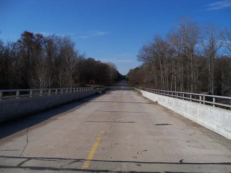
Outlet
Upstream Conditions
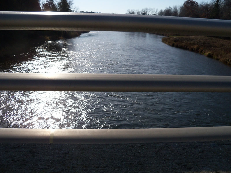
Downstream Conditions
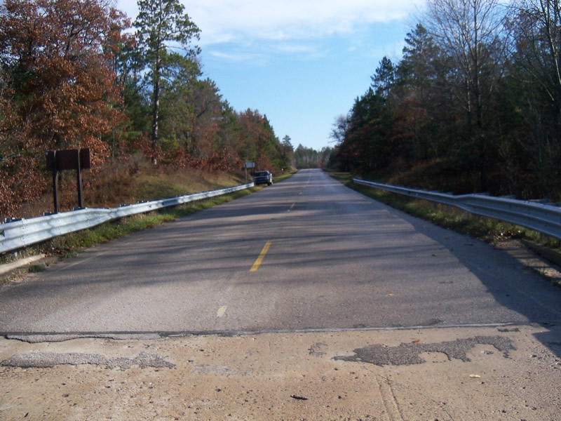
Road Approach - Left
Road Approach - Right
Crossing Information
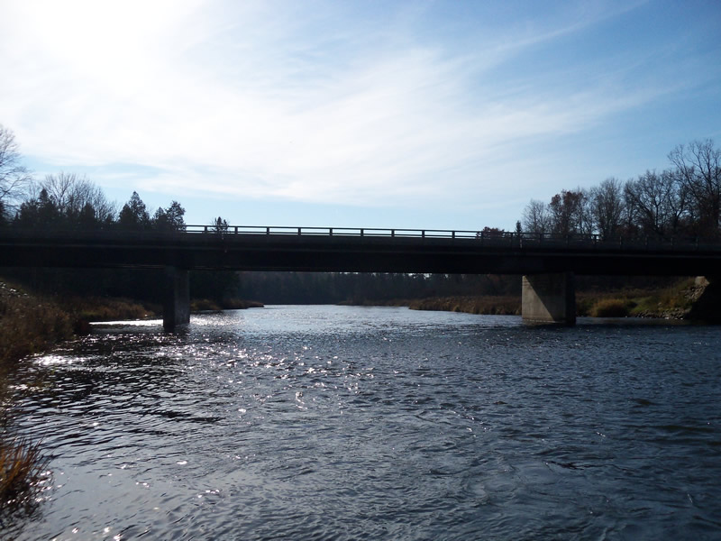
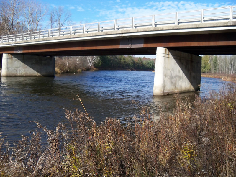
Type of Crossing: Bridge
Structure Shape: Open Bottom Square/Rectangle
Inlet Type: Other
Outlet Type: At Stream Grade
Structure Material: Concrete
Structure Substrate: Gravel
General Conditions: Good
Multiple Culverts/Spans | ||||
Culvert/Span | Width | Length | Height | Material |
1 |
51 ft. |
32.7 ft. |
15.8 ft. |
Metal |
2 |
76.3 ft. |
32.7 ft. |
15.8 ft. |
Metal |
3 |
63 ft. |
32.7 ft. |
15.8 ft. |
Metal |
Structure Interior: smooth
Dimensions of Structure: Length 32.7 ft.
, Width 76.3 ft.
, Height 15.8 ft.
Structure is NOT Perched
Structure Inlet
Water Depth: 2.3 ft.
Embedded Depth of Structure: 0 ft.
Water Velocity*: 2.4 ft./sec.
Structure Outlet
Water Depth: 2.5 ft.
Embedded Depth of Structure: 0 ft.
Water Velocity*: 3.2 ft./sec.
*Water Velocities were measured at the Surface
(with Meter)
Stream Information
Stream Flow: Less than Bankfull
Scour Pool: Length 0 ft.
, Width 0 ft.
, Depth 0 ft.
Upstream Pond: Length 0 ft.
, Width 0 ft.
, Depth 0 ft.
Riffle Information
Water Depth: 2.4 ft.
Bankfull Width: 140 ft.
Wetted Width: 135 ft.
Water Velocity: 2.2 ft./sec.
(Measured with Meter)
Dominant Substrate: Cobble
Road Information
Paved
Federal Road
Road Condition: Good
Road Width at Culvert: 32 ft.
Location of Low Point: At Stream
Runoff Path: Ditch
Embankments
Upstream
Fill Depth: 5 ft.
Slope: Vertical
Downstream
Fill Depth: 5 ft.
Slope: Vertical
Approaches
Left Approach
Length: 1000 ft.
Slope: 1% to 5%
Vegetation: Heavy
LS Factor: 0.57
Erosion: 0.603 tons/year
Right Approach
Length: 1000 ft.
Slope: 1% to 5%
Vegetation: Heavy
LS Factor: 0.57
Erosion: 0.603 tons/year
Erosion Information
Total Erosion at Crossing: 1.206 tons/year
Summary Information
Fish Passability 0
�