Road Stream Crossing Site AUS_PR146
Au Sable River Watershed, Surface Drain
Adams Rd
Alcona County
Information collected by:
Site Location
GPS Coordinates: 44.601574
, -83.604648
Owned by Private
Federal
Federal
Fish Passability 0.5
Structure is NOT Perched
Total Erosion: 3.0147 tons/year
Severity: Severe
Year Inventoried: 2013
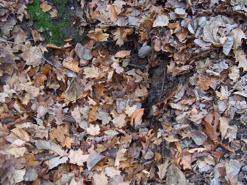
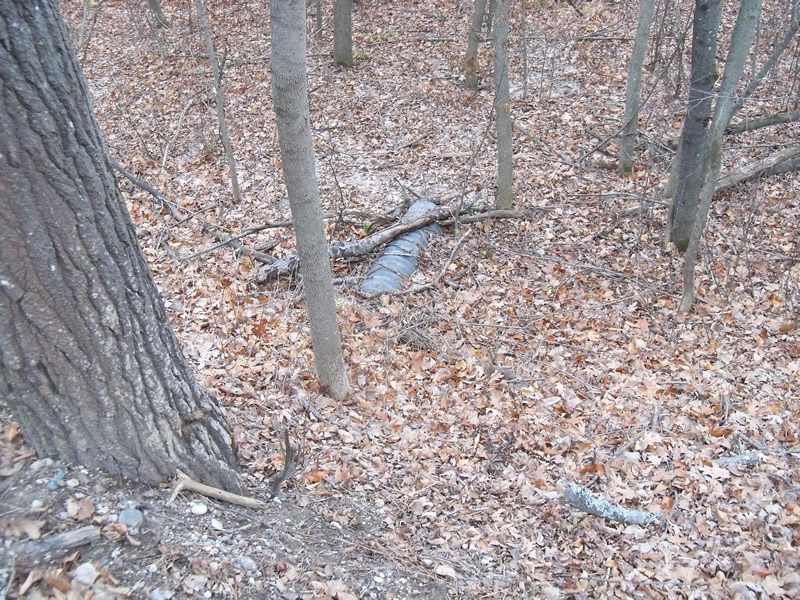
Inlet
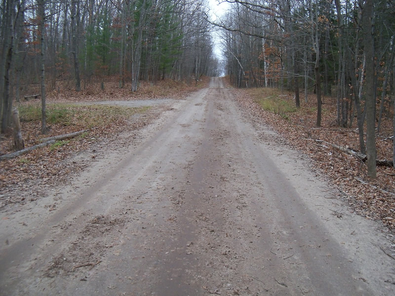
Outlet
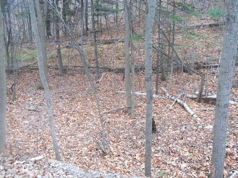
Upstream Conditions
Downstream Conditions
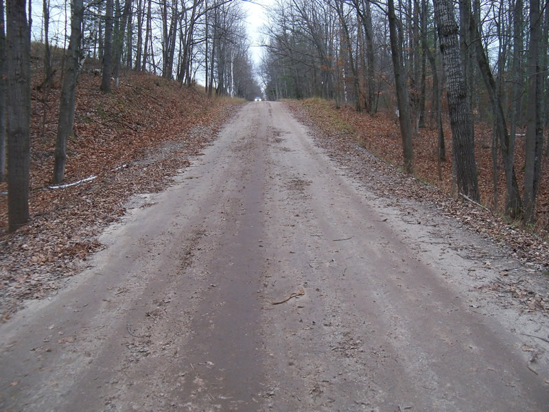
Road Approach - Left
Road Approach - Right
Crossing Information
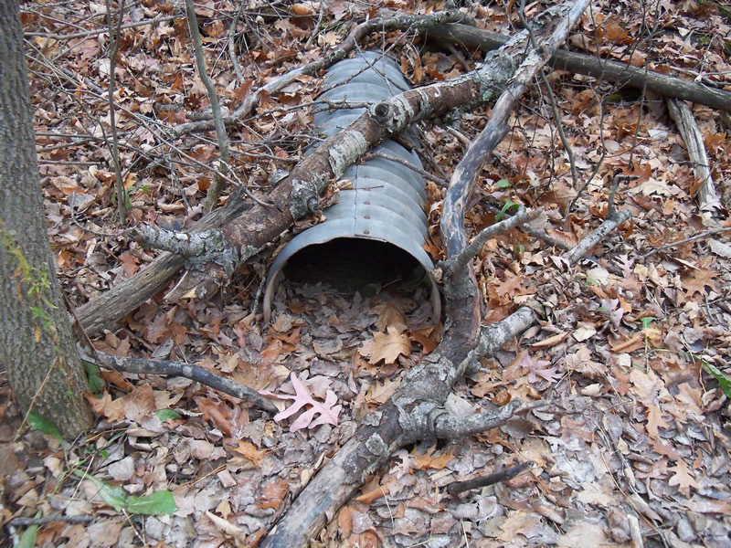
Type of Crossing: culvert(s)
Number of Structures: 1
Structure Shape: Round
Inlet Type: Other
Outlet Type: At Stream Grade
Structure Material: Metal
Structure Substrate: Mixture
General Conditions: Good
Structure Interior: corrugated
Dimensions of Structure: Length 50 ft.
, Width 1.3 ft.
, Height 1.3 ft.
Percentage Plugged:
Inlet: 26% to 50%
Outlet: 26% to 50%
In Pipe: 26% to 50%
Structure is NOT Perched
Water Depth: 0 ft.
Embedded Depth of Structure: 0 ft.
Water Velocity*: 0 ft./sec.
Water Depth: 0 ft.
Embedded Depth of Structure: 0 ft.
Water Velocity*: 0 ft./sec.
*Water Velocities were measured at the Surface
(with Meter)
Additional Comments
Inlet of the tube is buried in the hillside
Stream Information
Stream Flow: None
Scour Pool: Length 0 ft.
, Width 0 ft.
, Depth 0 ft.
Upstream Pond: Length 0 ft.
, Width 0 ft.
, Depth 0 ft.
Riffle Information
Water Depth: 0 ft.
Bankfull Width: 0 ft.
Wetted Width: 0 ft.
Water Velocity: 0 ft./sec.
Road Information
Gravel
County Road
Road Condition: Good
Road Width at Culvert: 19 ft.
Location of Low Point: At Stream
Runoff Path: Roadway
Embankments
Upstream
Fill Depth: 7 ft.
Slope: Vertical
Downstream
Fill Depth: 8.2 ft.
Slope: More than 1:2
Approaches
Left Approach
Length: 600 ft.
Slope: 1% to 5%
Vegetation: Heavy
LS Factor: 0.52
Erosion: 1.6331 tons/year
Right Approach
Length: 520 ft.
Slope: 1% to 5%
Vegetation: Heavy
LS Factor: 0.504
Erosion: 1.3718 tons/year
Erosion Information
Total Erosion at Crossing: 3.0147 tons/year
Extent of Erosion: Minor
Erosion is occurring and corrective actions can be installed to address the problem.
Location of Erosion | Erosion Dimensions | Eroded Material | Material Eroded | Total Erosion | ||
facing downstream | Length | Width | Depth | Reaching Stream? | (tons/year) | |
Right Downstream Embankment |
6 ft. |
2 ft. |
1.5 ft. |
yes |
Sand |
0.0099 |
Summary Information
Fish Passability 0.5
�