Road Stream Crossing Site AUS_PR147
Au Sable River Watershed, Surface Drain
Adams Rd
Millen Twp,
Alcona County
Information collected by:
Site Location
GPS Coordinates: 44.599335
, -83.60455
T26N
R07E
Sec 32,33
Owned by Private
Federal
Federal
Fish Passability 0
Perch Height: 3.8 ft.
Total Erosion: 1.4062 tons/year
Severity: Severe
Year Inventoried: 2013
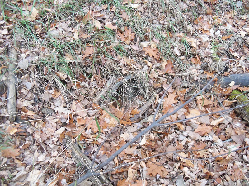
Inlet
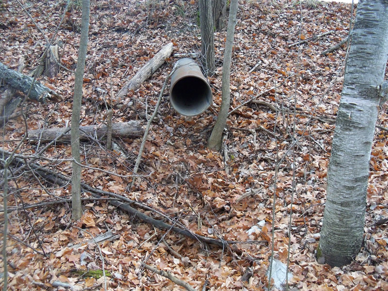
Outlet

Upstream Conditions
Downstream Conditions
Road Approach - Left
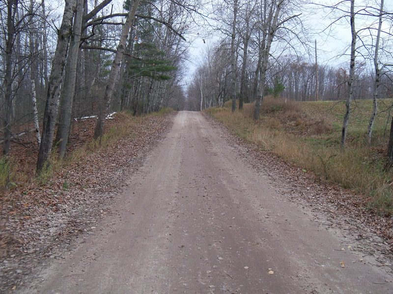
Road Approach - Right
Crossing Information
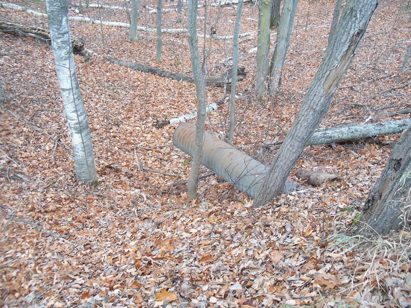
Type of Crossing: culvert(s)
Number of Structures: 1
Structure Shape: Round
Inlet Type: Projecting
Outlet Type: Other
Structure Material: Metal
Structure Substrate: Sand
General Conditions: Good
Structure Interior: corrugated
Dimensions of Structure: Length 40 ft.
, Width 1.3 ft.
, Height 1.3 ft.
Percentage Plugged:
Inlet: 1% to 25%
Outlet: 0%
In Pipe: 0%
Perch Height: 3.8 ft.
Water Depth: 0 ft.
Embedded Depth of Structure: 0 ft.
Water Velocity*: 0 ft./sec.
Water Depth: 0 ft.
Embedded Depth of Structure: 0 ft.
Water Velocity*: 0 ft./sec.
*Water Velocities were measured at the Surface
(with Meter)
Stream Information
Stream Flow: None
Scour Pool: Length 0 ft.
, Width 0 ft.
, Depth 0 ft.
Upstream Pond: Length 0 ft.
, Width 0 ft.
, Depth 0 ft.
Riffle Information
Water Depth: 0 ft.
Bankfull Width: 0 ft.
Wetted Width: 0 ft.
Water Velocity: 0 ft./sec.
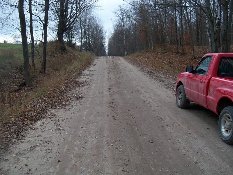
Road Information
Gravel
County Road
Road Condition: Good
Road Width at Culvert: 20 ft.
Location of Low Point: At Stream
Runoff Path: Roadway
Embankments
Upstream
Fill Depth: 1.9 ft.
Slope: More than 1:2
Downstream
Fill Depth: 4.8 ft.
Slope: More than 1:2
Approaches
Left Approach
Length: 210 ft.
Slope: 1% to 5%
Vegetation: Heavy
LS Factor: 0.432
Erosion: 0.4998 tons/year
Right Approach
Length: 350 ft.
Slope: 1% to 5%
Vegetation: Heavy
LS Factor: 0.47
Erosion: 0.9063 tons/year
Erosion Information
Total Erosion at Crossing: 1.4062 tons/year
Summary Information
Fish Passability 0
�