Road Stream Crossing Site AUS_PR181
Au Sable River Watershed, Surface Drain
Winn Street
Curtis Twp,
Alcona County
Information collected by:
Site Location
GPS Coordinates: 44.544019
, -83.729824
T25N
R06E
Sec 20
Owned by Private
Fish Passability 0.5
Structure is NOT Perched
Total Erosion: 2.8071 tons/year
Severity: Severe
Year Inventoried: 2013
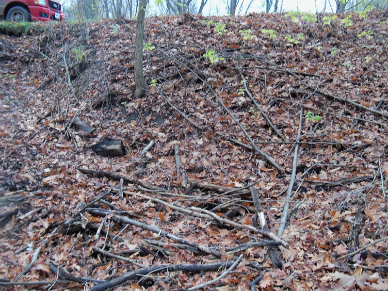
Inlet

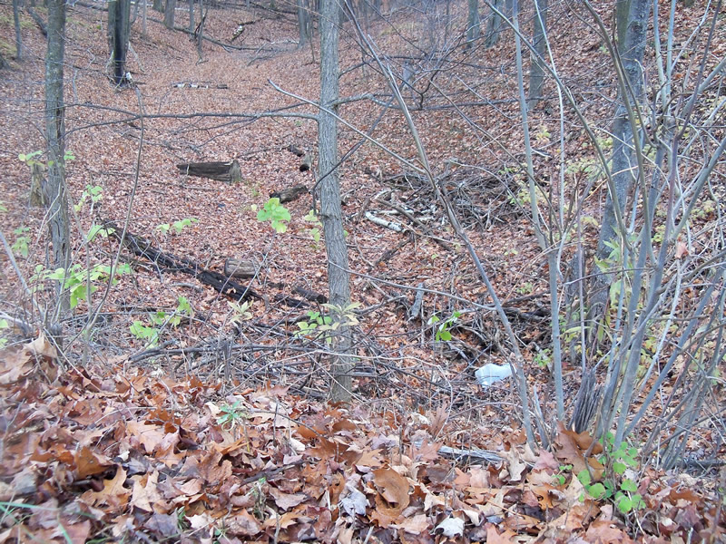
Outlet
Upstream Conditions
Downstream Conditions
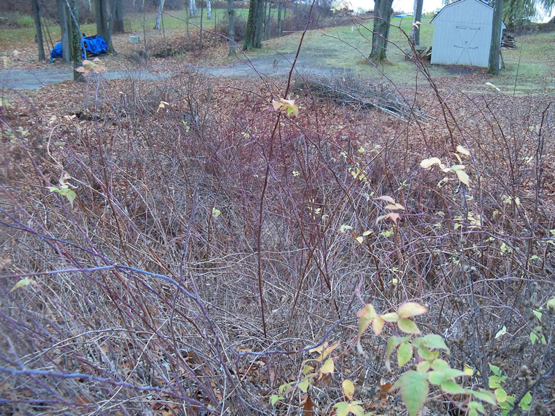
Road Approach - Left
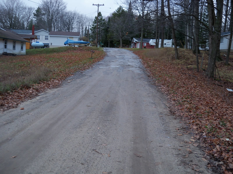
Road Approach - Right
Crossing Information
Type of Crossing: culvert(s)
Number of Structures: 1
Structure Shape: Round
Inlet Type: Projecting
Outlet Type: At Stream Grade
Structure Material: Metal
Structure Substrate: Sand
General Conditions: Good
Structure Interior: corrugated
Dimensions of Structure: Length 60 ft.
, Width 2 ft.
, Height 2 ft.
Percentage Plugged:
Inlet: 0%
Outlet: 1% to 25%
In Pipe: 0%
Percentage Crushed:
Inlet: 0%
Outlet: 1% to 25%
In Pipe: 0%
Structure is NOT Perched
Water Depth: 0 ft.
Embedded Depth of Structure: 0 ft.
Water Velocity*: 0 ft./sec.
Water Depth: 0 ft.
Embedded Depth of Structure: 0 ft.
Water Velocity*: 0 ft./sec.
*Water Velocities were measured at the Surface
(with Meter)
Additional Comments
Can't find inlet, buried.
Stream Information
Stream Flow: None
Scour Pool: Length 0 ft.
, Width 0 ft.
, Depth 0 ft.
Upstream Pond: Length 0 ft.
, Width 0 ft.
, Depth 0 ft.
Riffle Information
Water Depth: 0 ft.
Bankfull Width: 0 ft.
Wetted Width: 0 ft.
Water Velocity: 0 ft./sec.
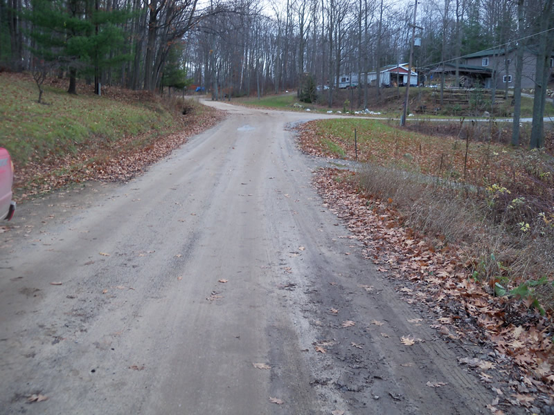
Road Information
Gravel
Private Road
Road Condition: Good
Road Width at Culvert: 16 ft.
Location of Low Point: At Stream
Runoff Path: Roadway
Embankments
Upstream
Fill Depth: 9 ft.
Slope: 1:1.5
Downstream
Fill Depth: 11.2 ft.
Slope: More than 1:2
Approaches
Left Approach
Length: 550 ft.
Slope: 1% to 5%
Vegetation: Heavy
LS Factor: 0.51
Erosion: 1.2364 tons/year
Right Approach
Length: 300 ft.
Slope: 1% to 5%
Vegetation: Heavy
LS Factor: 0.46
Erosion: 0.6083 tons/year
Erosion Information
Total Erosion at Crossing: 2.8071 tons/year
Extent of Erosion: Moderate
Location of Erosion | Erosion Dimensions | Eroded Material | Material Eroded | Total Erosion | ||
facing downstream | Length | Width | Depth | Reaching Stream? | (tons/year) | |
Left Approach |
25 ft. |
10 ft. |
5 ft. |
yes |
Sand |
0.9625 |
Summary Information
Fish Passability 0.5
�