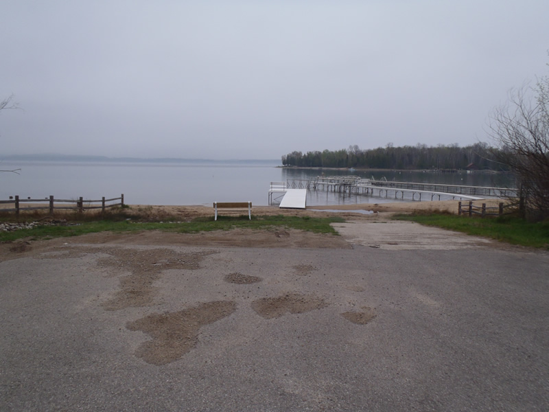
Road Stream Crossing Site CHAR_BA02
Lake Charlevoix Watershed, Lake Charlevoix
Lake St
Bay Twp,
Charlevoix County
Information collected by:
Site Location
GPS Coordinates: 45.282045
, -85.082967
T34N
R06W
Sec 6
Owned by Private
Year Inventoried: 2011
Contact Point
Road Approach - Left
Crossing Information
Type of Crossing: Contact Point
Structure Shape: Round
Inlet Type: Wingwall 30-70 Degree
Outlet Type: Cascade over Riprap
Structure Material: Plastic
Structure Substrate: None
General Conditions: Fair
Structure Interior: smooth
Stream Information
Stream Flow: None
Dominant Substrate: Organics
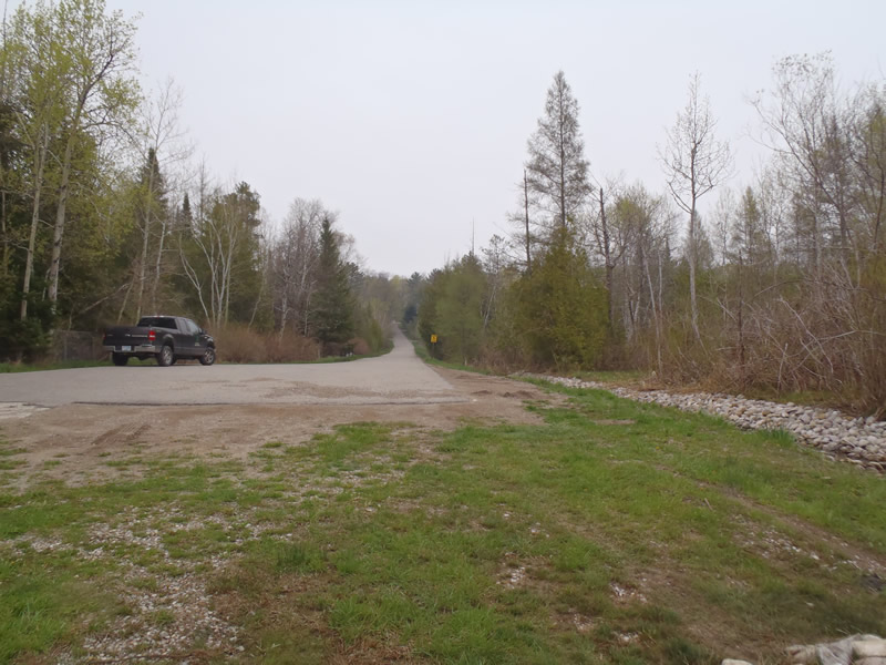
Road Information
Paved
County Road
Road Condition: Good
Road Width at Culvert: 38 ft.
Location of Low Point: At Stream
Runoff Path: Ditch
Slope: Vertical
Slope: Vertical
Length: 1000 ft.
Slope: 6% to 10%
Vegetation: Heavy
Slope: Less Than 1%
Vegetation: None
Erosion Information
Extent of Erosion: Moderate
Summary Information
Erosion is an area of concern for this site.
No.
�