Road Stream Crossing Site CHAR_CX12
Lake Charlevoix Watershed, Stover Creek
Paved trail off Ferry Ave
Charlevoix Twp,
Charlevoix County
Information collected by:
Site Location
GPS Coordinates: 45.30087
, -85.2505
T34N
R08W
Sec 35
Owned by Private
Fish Passability 1
Structure is NOT Perched
Total Erosion: 0.0595 tons/year
Severity: Minor
Year Inventoried: 2011
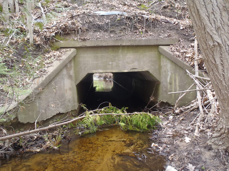
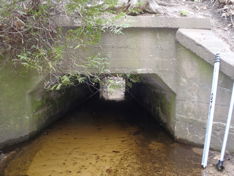
Inlet
Outlet
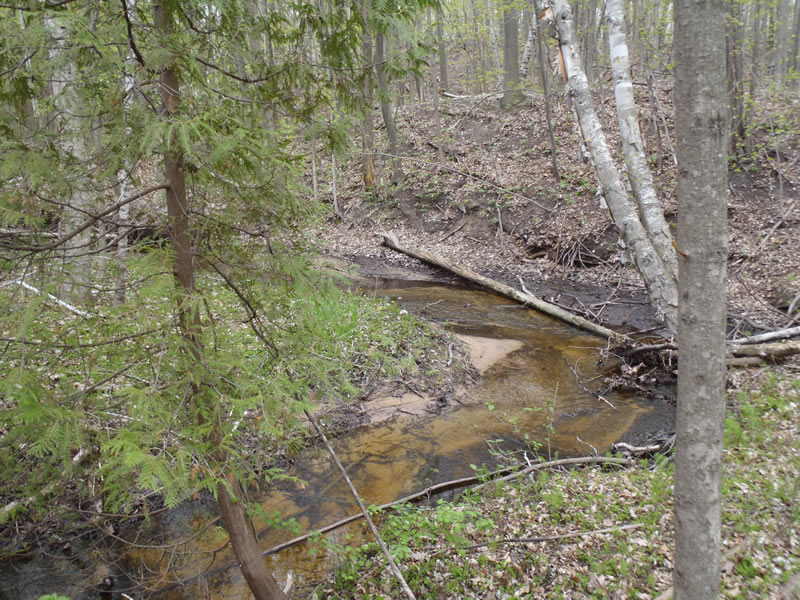
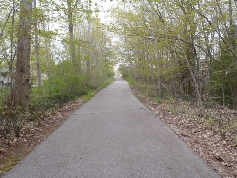
Upstream Conditions
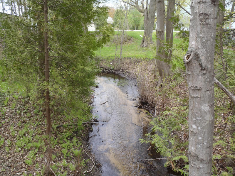
Downstream Conditions
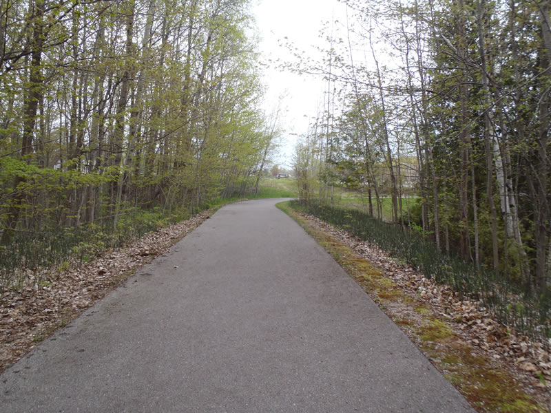
Road Approach - Left
Road Approach - Right
Crossing Information
Type of Crossing: culvert(s)
Number of Structures: 1
Structure Shape: Open Bottom Square/Rectangle
Inlet Type: Wingwall 30-70 Degree
Outlet Type: At Stream Grade
Structure Material: Concrete
Structure Substrate: Sand
General Conditions: Fair
Dimensions of Structure: Length 50 ft.
, Width 7 ft.
, Height 4.4 ft.
Percentage Plugged:
Inlet: 1% to 25%
Structure is NOT Perched
Structure Inlet
Water Depth: 0.85 ft.
Embedded Depth of Structure: 0 ft.
Water Velocity*: 1 ft./sec.
Structure Outlet
Water Depth: 0.48 ft.
Embedded Depth of Structure: 0 ft.
Water Velocity*: 0.8 ft./sec.
*Water Velocities were measured 0.4 ft. below Surface
(with Meter)
Stream Information
Stream Flow: Less than Bankfull
Riffle Information
Water Depth: 0.27 ft.
Bankfull Width: 9 ft.
Wetted Width: 7.3 ft.
Water Velocity: 1.5 ft./sec.
(Measured with Meter)
Dominant Substrate: Gravel
Road Information
Paved
Other Road
Road Condition: Good
Road Width at Culvert: 14 ft.
Location of Low Point: At Stream
Runoff Path: Ditch
Embankments
Upstream
Fill Depth: 20.6 ft.
Slope: Vertical
Downstream
Fill Depth: 20.6 ft.
Slope: Vertical
Approaches
Left Approach
Length: 50 ft.
Slope: Less Than 1%
Vegetation: Heavy
LS Factor: 0.05
Erosion: 0.0012 tons/year
Right Approach
Length: 279 ft.
Slope: 1% to 5%
Vegetation: Heavy
LS Factor: 0.452
Erosion: 0.0583 tons/year
Erosion Information
Total Erosion at Crossing: 0.0595 tons/year
Summary Information
Fish Passability 1
�