
Road Stream Crossing Site AUS_OS085
Au Sable River Watershed, Lost Creek
Park Rd (County 489)
Big Creek Twp,
Oscoda County
Information collected by:

Site Location
GPS Coordinates: 44.6163
, -84.20264
T26N
R02E
Sec 28
Owned by Private
Fish Passability 0
Perch Height: 0.3 ft.
Total Erosion: 3.3669 tons/year
Severity: Severe
Year Inventoried: 2013
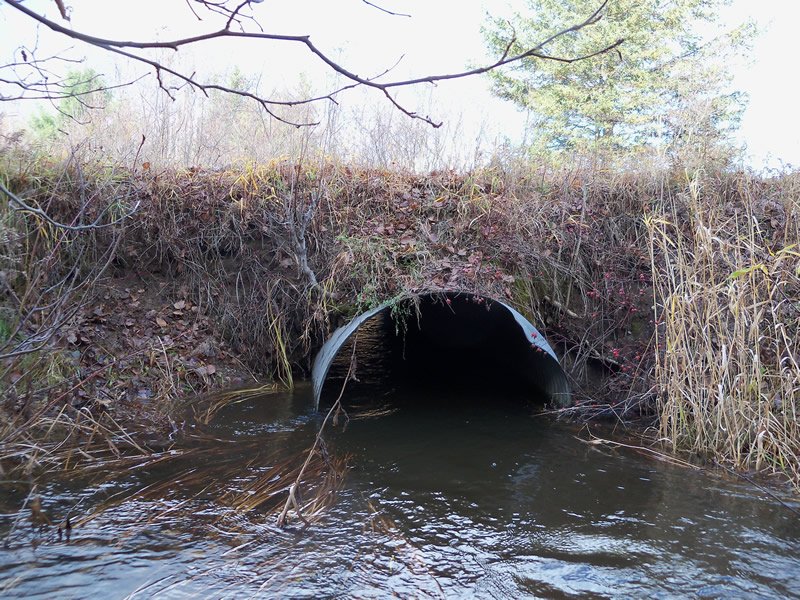
Inlet
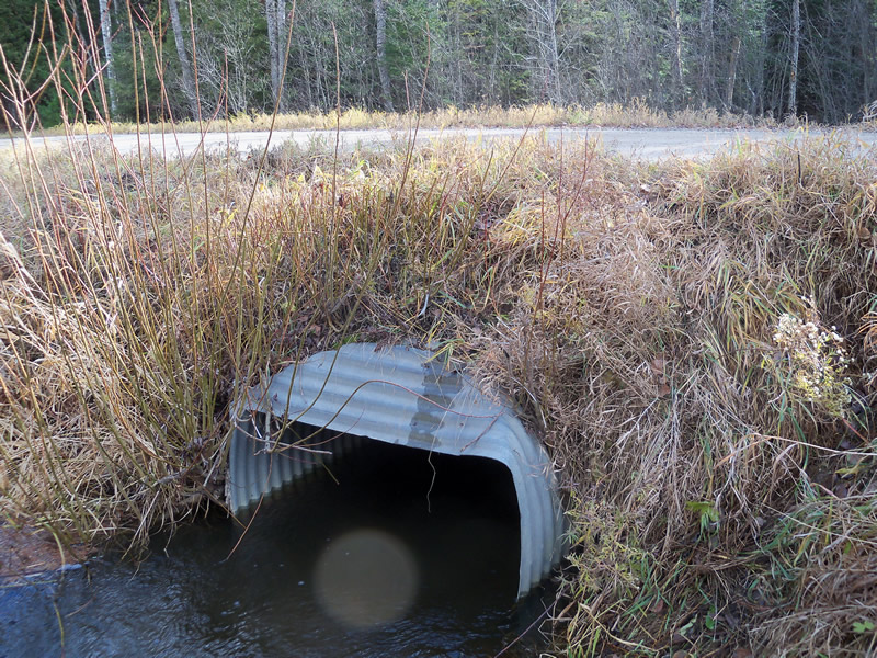
Outlet
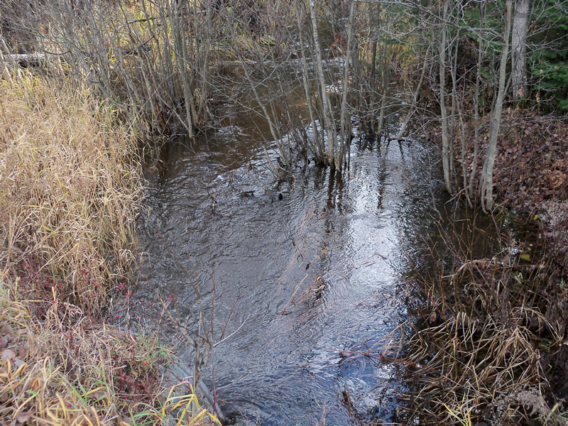
Upstream Conditions
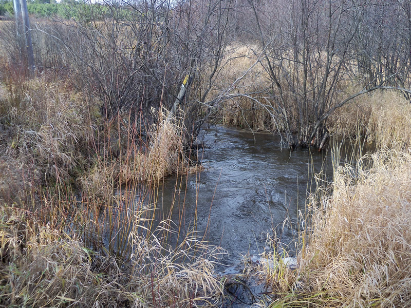
Downstream Conditions
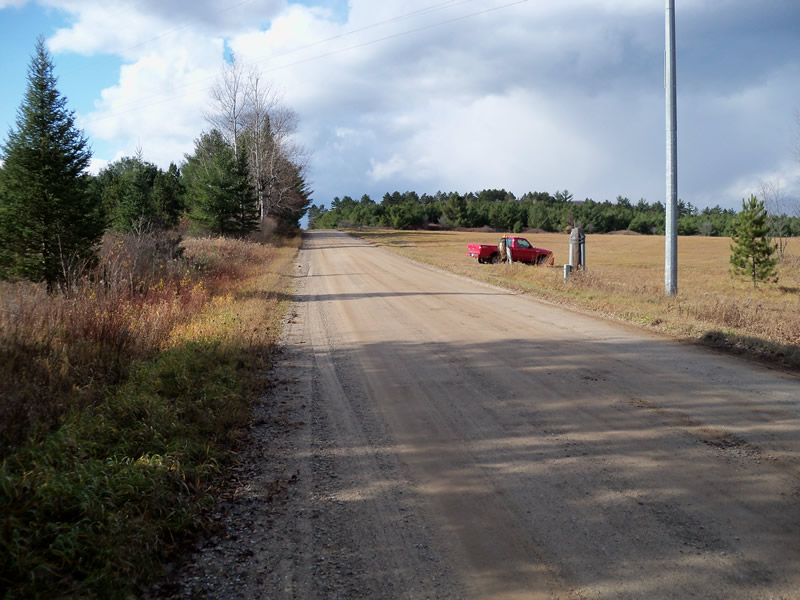
Road Approach - Left
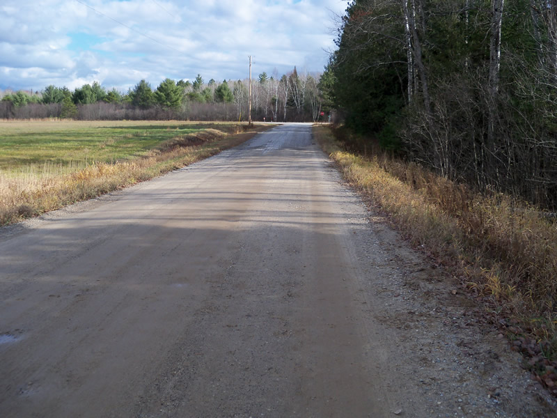
Road Approach - Right
Crossing Information
Type of Crossing: culvert(s)
Number of Structures: 1
Structure Shape: Round
Inlet Type: Projecting
Outlet Type: Freefall into Pool
Structure Material: Metal
Structure Substrate: None
General Conditions: Fair
Structure Interior: corrugated
Dimensions of Structure: Length 31 ft.
, Width 4 ft.
, Height 4 ft.
Perch Height: 0.3 ft.
Structure Inlet
Water Depth: 2.2 ft.
Embedded Depth of Structure: 0 ft.
Water Velocity*: 1.7 ft./sec.
Structure Outlet
Water Depth: 2.3 ft.
Embedded Depth of Structure: 0 ft.
Water Velocity*: 2.86 ft./sec.
*Water Velocities were measured at the Surface
(with Float Test)
Additional Comments
Heavy rain the two previous days. Unable to measure wetted width effectively because the stream is flooded.
Stream Information
Stream Flow: More than Bankfull
Scour Pool: Length 24 ft.
, Width 12 ft.
, Depth 4.2 ft.
Upstream Pond: Length 0 ft.
, Width 0 ft.
, Depth 0 ft.
Riffle Information
Water Depth: 2.1 ft.
Bankfull Width: 7 ft.
Water Velocity: 2.86 ft./sec.
(Measured with Float Test)
Dominant Substrate: Gravel
Road Information
Gravel
County Road
Road Condition: Fair
Road Width at Culvert: 20 ft.
Location of Low Point: Other
Runoff Path: Ditch
Embankments
Upstream
Fill Depth: 2 ft.
Slope: Vertical
Downstream
Fill Depth: 1.7 ft.
Slope: Vertical
Approaches
Left Approach
Length: 1000 ft.
Slope: 1% to 5%
Vegetation: Heavy
LS Factor: 0.57
Erosion: 3.1405 tons/year
Right Approach
Length: 0 ft.
Slope: Less Than 1%
Vegetation: Heavy
LS Factor: 0.05
Erosion: 0 tons/year
Erosion Information
Total Erosion at Crossing: 3.3669 tons/year
Extent of Erosion: Moderate
Erosion is occurring and corrective actions can be installed to address the problem.
Notes: Embankment eroding out around inlet on both sides and outlet on left bank. Culvert looks to be to small for crossing. Could easily wash out road in high water.
Location of Erosion | Erosion Dimensions | Eroded Material | Material Eroded | Total Erosion | ||
facing downstream | Length | Width | Depth | Reaching Stream? | (tons/year) | |
Left Downstream Embankment |
3.6 ft. |
4.1 ft. |
1.4 ft. |
yes |
Gravelly Loam |
0.0353 |
Right Upstream Embankment |
3.4 ft. |
4.5 ft. |
3 ft. |
yes |
Gravelly Loam |
0.0714 |
Left Upstream Embankment |
4.5 ft. |
6.6 ft. |
3.8 ft. |
yes |
Gravelly Loam |
0.1197 |
Summary Information
Fish Passability 0
Erosion is an area of concern for this site.
See erosion notes
A future visit to this site is recommended. To check condition of road and erosion sites