Road Stream Crossing Site AUS_CR001
Au Sable River Watershed, Kolka Creek
Twin Peaks
Frederic Twp,
Crawford County
Information collected by:
Site Location
GPS Coordinates: 44.8363
, -84.76141
T28N
R04W
Sec 11
Owned by Private
Fish Passability 1
Structure is NOT Perched
Total Erosion: 12.9613 tons/year
Severity: Severe
Year Inventoried: 2013
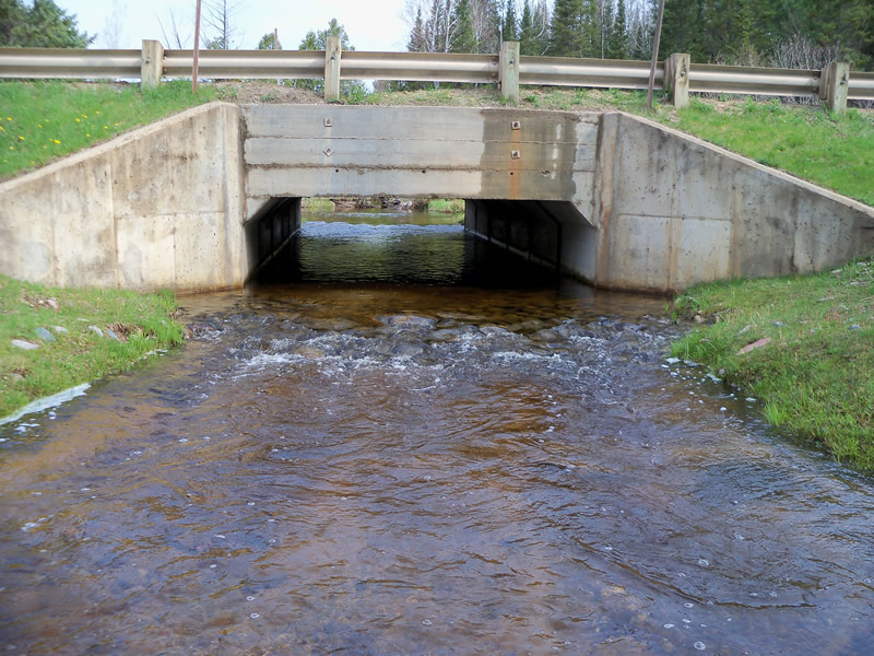
Outlet
Upstream Conditions
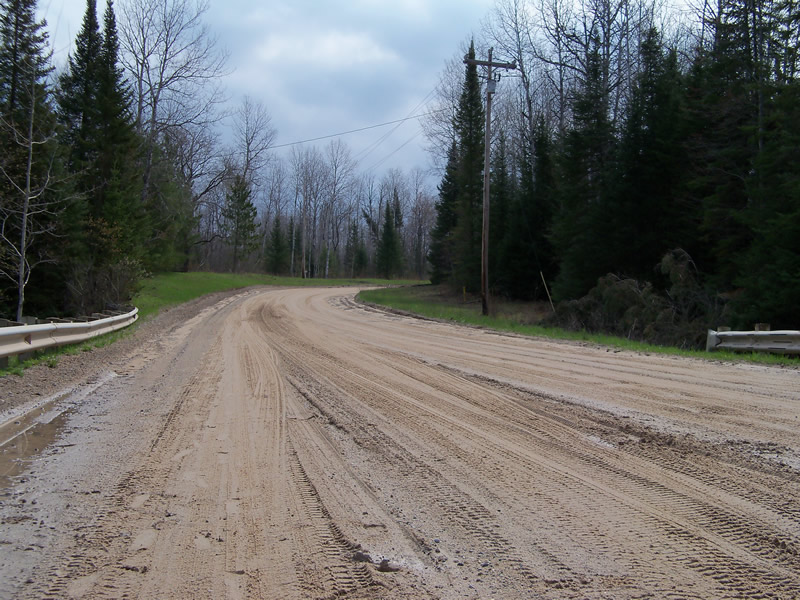
Road Approach - Left
Road Approach - Right
Crossing Information
Type of Crossing: Bridge
Structure Shape: Open Bottom Square/Rectangle
Inlet Type: Wingwall 10-30 Degree
Outlet Type: At Stream Grade
Structure Material: Concrete
Structure Substrate: Sand
General Conditions: Good
Structure Interior: smooth
Dimensions of Structure: Length 36.3 ft.
, Width 13.7 ft.
, Height 7.6 ft.
Structure is NOT Perched
Structure Inlet
Water Depth: 1.8 ft.
Embedded Depth of Structure: 0 ft.
Water Velocity*: 1.263 ft./sec.
Structure Outlet
Water Depth: 1.6 ft.
Embedded Depth of Structure: 0 ft.
Water Velocity*: 0.607 ft./sec.
*Water Velocities were measured 0.2 ft. below Surface
(with Meter)
Stream Information
Stream Flow: Less than Bankfull
Scour Pool: Length 0 ft.
, Width 0 ft.
, Depth 0 ft.
Upstream Pond: Length 28 ft.
, Width 21.3 ft.
, Depth 0 ft.
Riffle Information
Water Depth: 0.9 ft.
Bankfull Width: 13.1 ft.
Wetted Width: 9.9 ft.
Water Velocity: 2.296 ft./sec.
(Measured with Meter)
Dominant Substrate: Gravel
Road Information
Sand
County Road
Road Condition: Good
Road Width at Culvert: 29.4 ft.
Location of Low Point: At Stream
Runoff Path: Roadway
Embankments
Upstream
Fill Depth: 0.3 ft.
Slope: More than 1:2
Downstream
Fill Depth: 0 ft.
Slope: More than 1:2
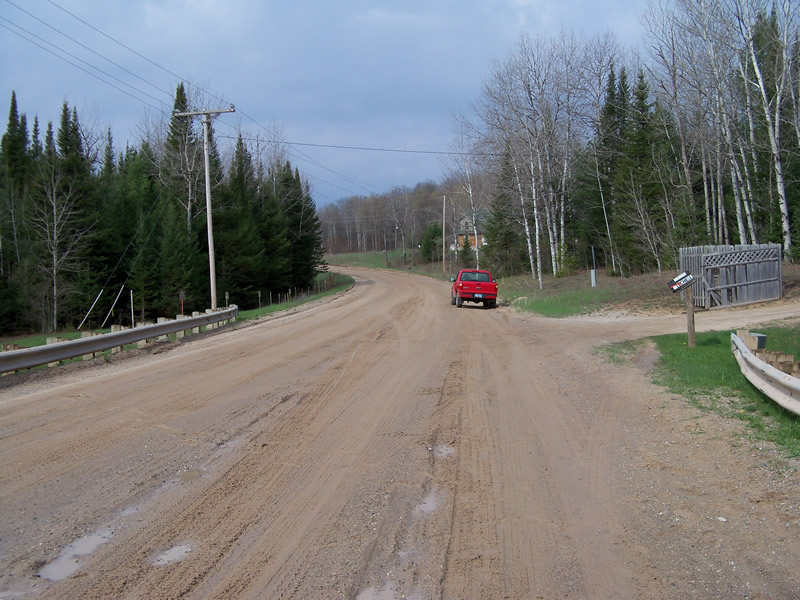
Approaches
Left Approach
Length: 639 ft.
Slope: 6% to 10%
Vegetation: Heavy
LS Factor: 1.773
Erosion: 9.1767 tons/year
Right Approach
Length: 843 ft.
Slope: 1% to 5%
Vegetation: Heavy
LS Factor: 0.554
Erosion: 3.7845 tons/year
Erosion Information
Total Erosion at Crossing: 12.9613 tons/year
Extent of Erosion: Minor
Notes: Located on Downstream Banks.
Summary Information
Fish Passability 1
�