
Road Stream Crossing Site AUS_OS035
Au Sable River Watershed, Hunt Creek
Kinsey-Hunt Rd
Big Creek Twp,
Oscoda County
Information collected by:

Site Location
GPS Coordinates: 44.54958
, -84.3511
T25N
R01E
Sec 19
Owned by Federal
Fish Passability 0.9
Total Erosion: 0.432 tons/year
Severity: Minor
Year Inventoried: 2013
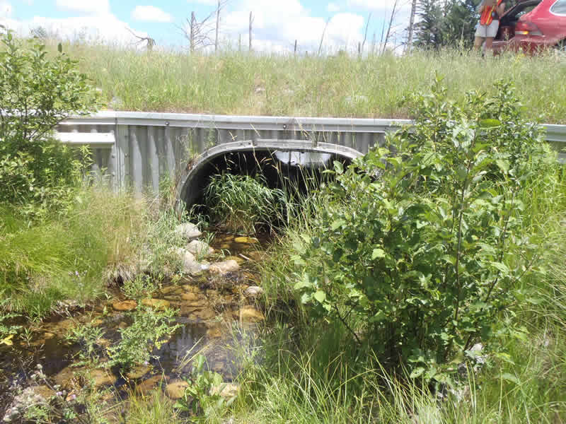
Inlet
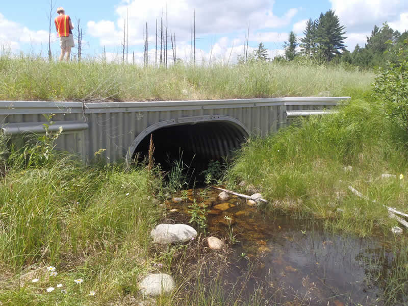
Outlet
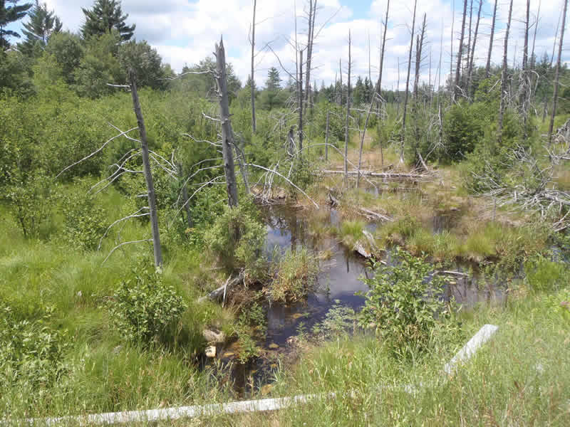
Upstream Conditions
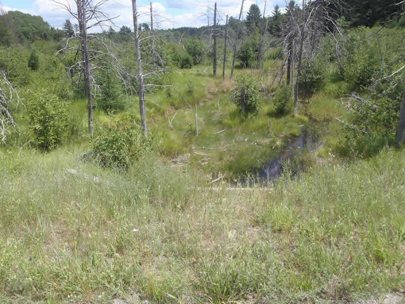
Downstream Conditions
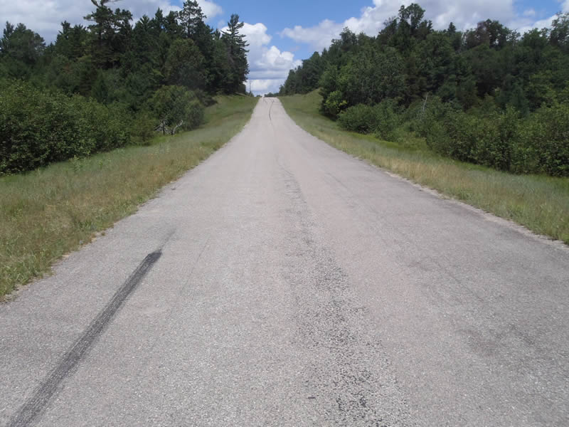
Road Approach - Left
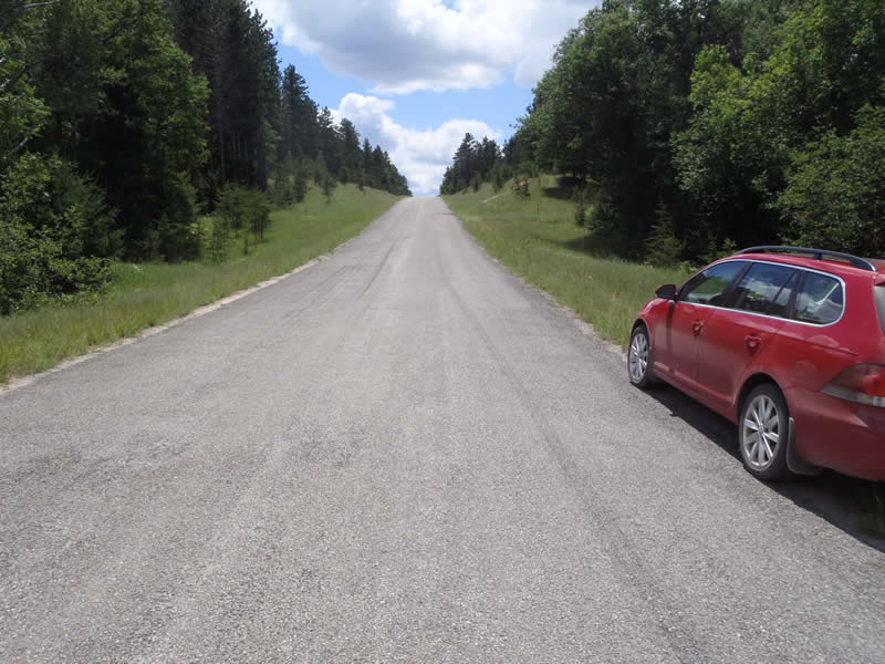
Road Approach - Right
Crossing Information
Type of Crossing: culvert(s)
Number of Structures: 1
Structure Shape: Open Bottom Square/Rectangle
Inlet Type: Wingwall 10-30 Degree
Outlet Type: At Stream Grade
Structure Material: Metal
Structure Substrate: Mixture
General Conditions: Good
Structure Interior: corrugated
Dimensions of Structure: Length 50 ft.
, Width 5 ft.
, Height 5 ft.
Structure Inlet
Water Depth: 1.1 ft.
Water Velocity*: 0.4 ft./sec.
Structure Outlet
Water Depth: 0.6 ft.
Water Velocity*: 0.3 ft./sec.
*Water Velocities were measured at the Surface
(with Float Test)
Additional Comments
Structure is actually an open bottom D-shaped structure with wing wall at inlet.
Stream Information
Stream Flow: Less than 1/2 Bankfull
Riffle Information
Water Depth: 0.3 ft.
Bankfull Width: 30 ft.
Wetted Width: 21 ft.
Water Velocity: 0 ft./sec.
(Measured with Float Test)
Dominant Substrate: Sand
Road Information
Paved
Federal Road
Road Condition: Good
Road Width at Culvert: 23 ft.
Location of Low Point: Other
Runoff Path: Ditch
Embankments
Upstream
Fill Depth: 2.8 ft.
Slope: More than 1:2
Downstream
Fill Depth: 2.3 ft.
Slope: More than 1:2
Approaches
Left Approach
Length: 0 ft.
Slope: Less Than 1%
Vegetation: Heavy
LS Factor: 0.05
Erosion: 0 tons/year
Right Approach
Length: 997.3 ft.
Slope: 1% to 5%
Vegetation: Heavy
LS Factor: 0.57
Erosion: 0.432 tons/year
Erosion Information
Total Erosion at Crossing: 0.432 tons/year
Summary Information
Fish Passability 0.9
These non-native species were observerd at this site: Spotted Knapweed, Queen Anne's Lace, White Sweet grass