Road Stream Crossing Site CHAR_CX13
Lake Charlevoix Watershed, Stover Creek
M-66
Charlevoix Twp,
Charlevoix County
Information collected by:
Site Location
GPS Coordinates: 45.295689
, -85.253653
T34N
R08W
Sec 35
Owned by Private
Structure is NOT Perched
Total Erosion: 0.414 tons/year
Severity: Minor
Year Inventoried: 2011
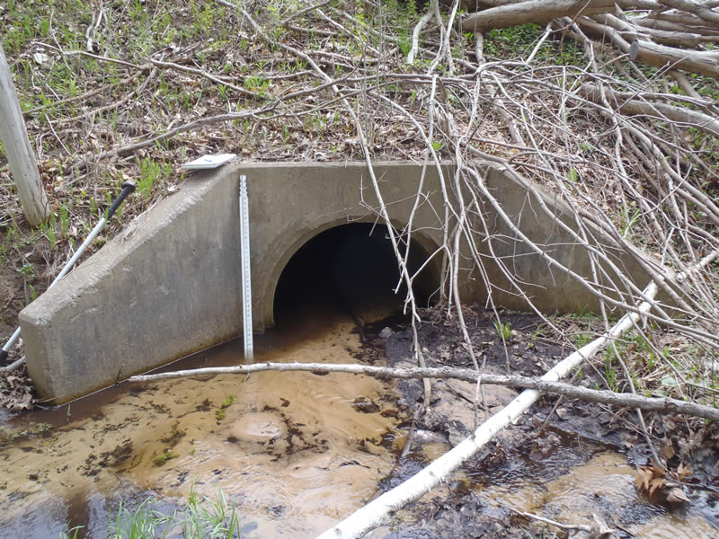
Inlet
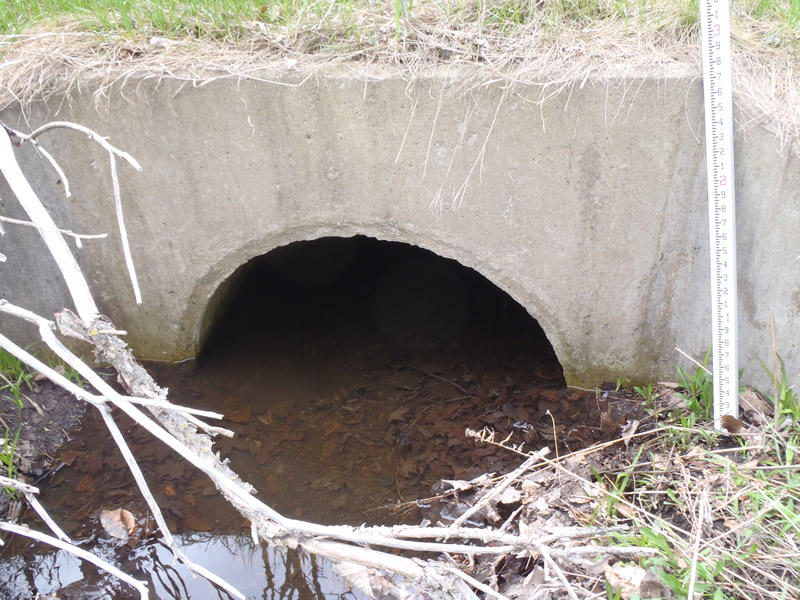
Outlet
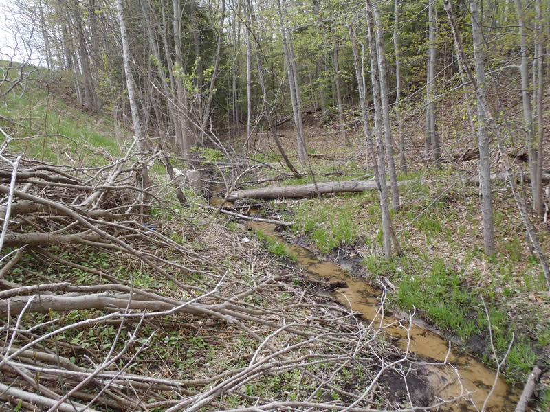
Upstream Conditions
Upstream Conditions
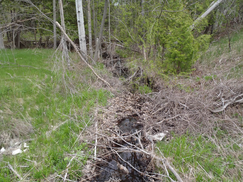
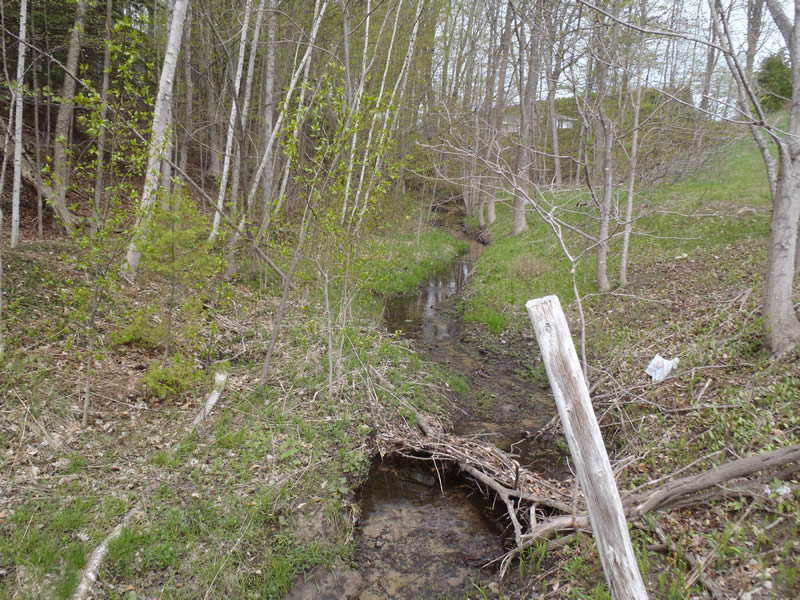
Downstream Conditions
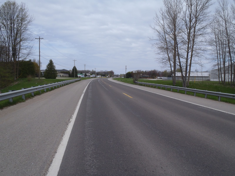
Road Approach - Left
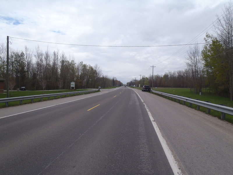
Road Approach - Right
Crossing Information
Type of Crossing: culvert(s)
Number of Structures: 1
Structure Shape: Round
Inlet Type: Wingwall 10-30 Degree
Outlet Type: At Stream Grade
Structure Material: Concrete
Structure Substrate: Sand
General Conditions: Good
Structure Interior: smooth
Dimensions of Structure: Length 140 ft.
, Width 3.5 ft.
, Height 3.5 ft.
Percentage Plugged:
Inlet: 0%
Outlet: 1% to 25%
In Pipe: 0%
Structure is NOT Perched
Structure Inlet
Water Depth: 0.26 ft.
Embedded Depth of Structure: 0.9 ft.
Water Velocity*: 0.2 ft./sec.
Structure Outlet
Water Depth: 0.55 ft.
Embedded Depth of Structure: 1.1 ft.
Water Velocity*: 0.1 ft./sec.
*Water Velocities were measured at the Surface
(with Meter)
Stream Information
Stream Flow: Less than Bankfull
Riffle Information
Water Depth: 0.27 ft.
Bankfull Width: 7 ft.
Wetted Width: 5.75 ft.
Water Velocity: 0.2 ft./sec.
(Measured with Meter)
Dominant Substrate: Sand
Road Information
Paved
State Road
Road Condition: Good
Road Width at Culvert: 44 ft.
Location of Low Point: At Stream
Runoff Path: Ditch
Embankments
Upstream
Fill Depth: 21.5 ft.
Slope: Vertical
Downstream
Fill Depth: 21.5 ft.
Slope: 1:1.5
Approaches
Left Approach
Length: 528 ft.
Slope: 1% to 5%
Vegetation: Heavy
LS Factor: 0.506
Erosion: 0.3883 tons/year
Right Approach
Length: 354 ft.
Slope: Less Than 1%
Vegetation: Heavy
LS Factor: 0.05
Erosion: 0.0257 tons/year
Erosion Information
Total Erosion at Crossing: 0.414 tons/year
Extent of Erosion: Minor
Summary Information
Erosion is an area of concern for this site.
No.
�