Road Stream Crossing Site AUS_RO005
Au Sable River Watershed, Hudson Creek
Old 76
Higgins Twp,
Roscommon County
Information collected by:
Site Location
GPS Coordinates: 44.45452
, -84.52415
T24N
R02W
Sec 23
Owned by State
Fish Passability 1
Structure is NOT Perched
Total Erosion: 1.4584 tons/year
Severity: Moderate
Year Inventoried: 2013
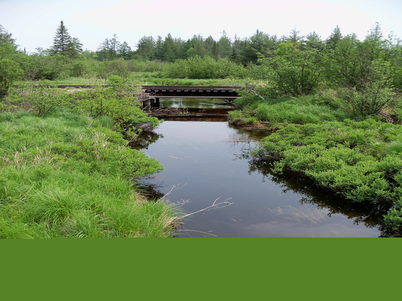
Downstream Conditions
Crossing Information
Type of Crossing: Bridge
Structure Shape: Open Bottom Square/Rectangle
Inlet Type: Wingwall 10-30 Degree
Outlet Type: At Stream Grade
Structure Material: Concrete
Structure Substrate: Mixture
General Conditions: Fair
Structure Interior: smooth
Dimensions of Structure: Length 56 ft.
, Width 17.5 ft.
, Height 4.1 ft.
Structure is NOT Perched
Structure Inlet
Water Depth: 1 ft.
Embedded Depth of Structure: 0 ft.
Water Velocity*: 0.34 ft./sec.
Structure Outlet
Water Depth: 0.8 ft.
Embedded Depth of Structure: 0 ft.
Water Velocity*: 0.4 ft./sec.
*Water Velocities were measured at the Surface
(with Float Test)
Stream Information
Stream Flow: Less than Bankfull
Scour Pool: Length 0 ft.
, Width 0 ft.
, Depth 0 ft.
Upstream Pond: Length 0 ft.
, Width 0 ft.
, Depth 0 ft.
Riffle Information
Water Depth: 1.1 ft.
Bankfull Width: 20 ft.
Wetted Width: 15 ft.
Water Velocity: 0.42 ft./sec.
(Measured with Float Test)
Dominant Substrate: Sand
Road Information
Paved
County Road
Road Condition: Good
Road Width at Culvert: 38.7 ft.
Location of Low Point: At Stream
Runoff Path: Ditch
Fill Depth: 0 ft.
Slope: Vertical
Fill Depth: 0 ft.
Slope: Vertical
Approaches
Left Approach
Length: 1000 ft.
Slope: 1% to 5%
Vegetation: Heavy
LS Factor: 0.57
Erosion: 0.7292 tons/year
Right Approach
Length: 1000 ft.
Slope: 1% to 5%
Vegetation: Heavy
LS Factor: 0.57
Erosion: 0.7292 tons/year
Erosion Information
Total Erosion at Crossing: 1.4584 tons/year
Extent of Erosion: Minor
Notes: Minor erosion on banks upstream and downstream
Summary Information
Fish Passability 1
These non-native species were observerd at this site: Spotted Knapweed
�