Road Stream Crossing Site AUS_RO004
Au Sable River Watershed, Hudson Creek
Decker's Rd
Higgins Twp,
Roscommon County
Information collected by:
Site Location
GPS Coordinates: 44.45509
, -84.52335
T24N
R02W
Sec 23
Owned by State
Fish Passability 0.5
Structure is NOT Perched
Total Erosion: 3.3412 tons/year
Severity: Severe
Year Inventoried: 2013
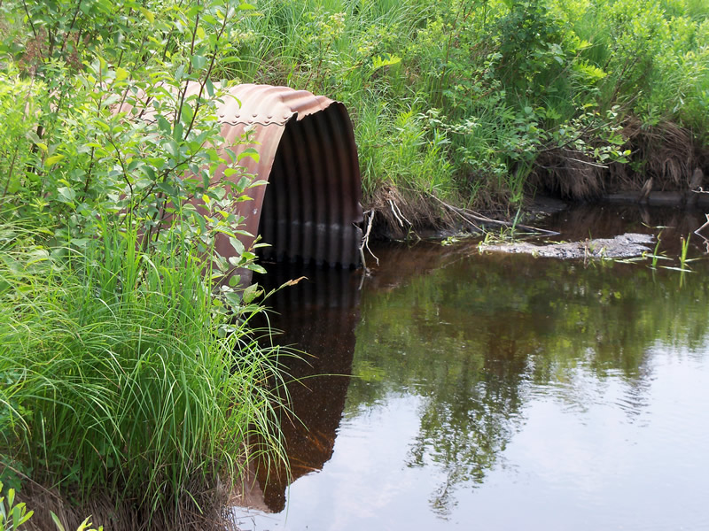
Inlet
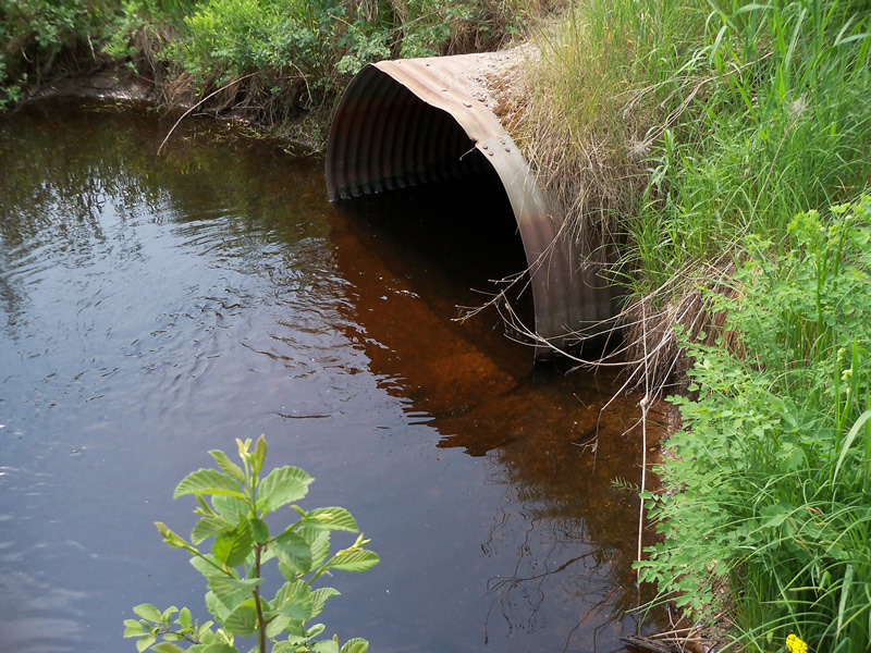
Outlet
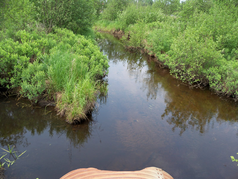
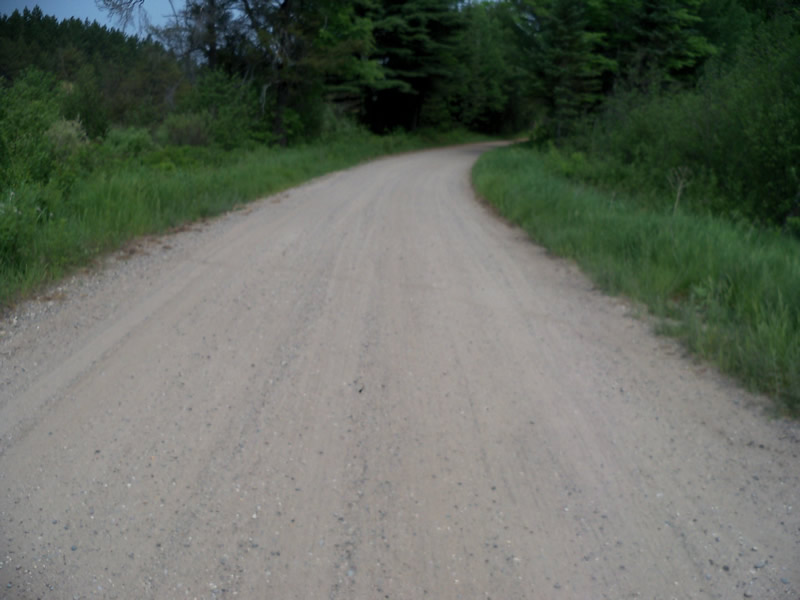
Upstream Conditions
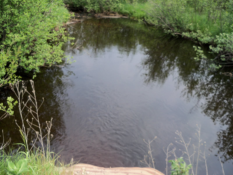
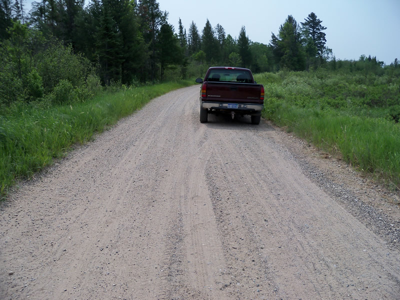
Downstream Conditions
Road Approach - Left
Road Approach - Right
Crossing Information
Type of Crossing: culvert(s)
Number of Structures: 1
Structure Shape: Round
Inlet Type: Projecting
Outlet Type: At Stream Grade
Structure Material: Metal
Structure Substrate: None
General Conditions: Poor
Structure Interior: corrugated
Dimensions of Structure: Length 31 ft.
, Width 5.5 ft.
, Height 4.1 ft.
Percentage Crushed:
Inlet: 0%
Outlet: 0%
In Pipe: 1% to 25%
Structure is NOT Perched
Structure Inlet
Water Depth: 1.4 ft.
Embedded Depth of Structure: 0 ft.
Water Velocity*: 1.72 ft./sec.
Structure Outlet
Water Depth: 1 ft.
Embedded Depth of Structure: 0 ft.
Water Velocity*: 1.54 ft./sec.
*Water Velocities were measured at the Surface
(with Float Test)
Additional Comments
North of M-76
Stream Information
Stream Flow: Less than Bankfull
Scour Pool: Length 39 ft.
, Width 25 ft.
, Depth 4.2 ft.
Upstream Pond: Length 0 ft.
, Width 0 ft.
, Depth 0 ft.
Riffle Information
Water Depth: 1.4 ft.
Bankfull Width: 14 ft.
Wetted Width: 12 ft.
Water Velocity: 1.63 ft./sec.
(Measured with Float Test)
Dominant Substrate: Sand
Road Information
Gravel
County Road
Road Condition: Good
Road Width at Culvert: 16 ft.
Location of Low Point: At Stream
Runoff Path: Roadway
Embankments
Upstream
Fill Depth: 0.9 ft.
Slope: More than 1:2
Downstream
Fill Depth: 1 ft.
Slope: More than 1:2
Approaches
Left Approach
Length: 390 ft.
Slope: 1% to 5%
Vegetation: Heavy
LS Factor: 0.478
Erosion: 0.8217 tons/year
Right Approach
Length: 1000 ft.
Slope: 1% to 5%
Vegetation: Heavy
LS Factor: 0.57
Erosion: 2.5124 tons/year
Erosion Information
Total Erosion at Crossing: 3.3412 tons/year
Extent of Erosion: Minor
Location of Erosion | Erosion Dimensions | Eroded Material | Material Eroded | Total Erosion | ||
facing downstream | Length | Width | Depth | Reaching Stream? | (tons/year) | |
Left Approach |
4 ft. |
5 ft. |
1.1 ft. |
yes |
Gravel |
0.0044 |
Right Approach |
3 ft. |
5 ft. |
0.9 ft. |
yes |
Gravel |
0.0027 |
Summary Information
Fish Passability 0.5
A future visit to this site is recommended. Culvert is in poor overall condition
These non-native species were observerd at this site: Spotted Knapweed, Bull Thistle, Queen Anne's Lace
�